Hidden Falls
Cook County, Minnesota
Your visit at a glance
- Waterfall height
- Not recorded
- Location
- Cook County, Minnesota
- Access status
- State park map route to a viewing deck
- The walk
- Short paved walk to the deck
- Ground & access
- Paved to the deck. Beyond it: hilly, bare rock, packed dirt and stairs, per the DNR map. Rock is slippery when wet or icy.
In Temperance River State Park, start at the Highway 61 parking lot on the northeast side of the river. Follow the paved trail to a deck with a view of Hidden Falls. The trail then becomes gravel and rock stairs up to the clifftops above the gorge if you want to continue.
Plan your visit
Highway 61 parking lot on the northeast side of the Temperance River to the Hidden Falls viewing deck
The DNR map gives 0.25 miles one way for the Temperance River Gorge Trail as a whole. The Hidden Falls deck is at its start, reached by a short paved trail; no separate distance is published.
Paved to the deck. Beyond it: hilly, bare rock, packed dirt and stairs, per the DNR map. Rock is slippery when wet or icy.
Where to start
Highway 61 parking lot on the northeast side of the Temperance River. The visitor account says parking is extremely limited.
Timing & water
Year-round state park. Cell service may be spotty per the DNR map.
Before you go
The DNR park map says vehicle permits are required in the park, bought at the park office. It does not say whether the roadside Highway 61 lot needs one.
Visitor informationVisit sources
More waterfalls nearby
Within 40 straight-line miles. Road and trail distances will differ.
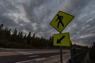 Cross River FallsRoadside wayside and bridge viewpointsCook County, MN1.4 miSW
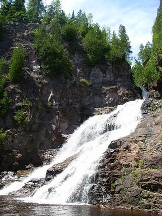 Caribou FallsOfficial wayside trail to falls base; seasonal waysideLake County, MN9.5 miSW
- Poplar River FallsResort and county tourism route to the trail bridge above the fallsCook County, MN10 miNE
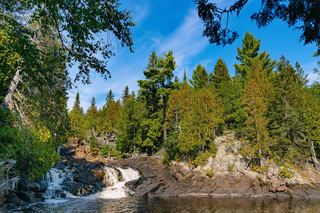 Manitou CascadesState park trail; steep with stairs; vehicle permit required30 ft (9 m) · Lake County, MN12 miSW
- Cascade FallsOfficial park loop documentedCook County, MN19 miNE
- The CascadesState park loop trail with published distanceCook County, MN19 miNE
- Hidden FallsCook County, MN21 miNE
- Illgen FallsShort trail from a roadside pull-off39 ft (12 m) · Lake County, MN21 miSW
- Kramer’s Choice RapidLake County, MN21 miSW