Rose Falls
Cook County, Minnesota
Your visit at a glance
- Waterfall height
- Not recorded
- Location
- Cook County, Minnesota
- Access status
- Documented wilderness trail; free day permit; distance figures differ
- The walk
- About 7 to 9 miles return; sources differ
- Ground & access
- Rugged trail with steep, slippery descents, roots and rocks, and some scrambling after the Moss Lake overlook.
From the small Caribou Rock Trail parking lot on Hungry Jack Road, cross the road to the trailhead (BWCA Entry Point 82). Pass overlooks of West Bearskin Lake and Moss Lake. The trail then becomes much harder before ending at Rose Lake, Rose Falls and the Stairway Portage, just past the Border Route Trail junction. Return the same way.
Plan your visit
Caribou Rock Trail from Hungry Jack Road to Rose Falls and Stairway Portage
BWCAwild says the Caribou Rock Trail is about 9 miles out-and-back, and on the same page gives 3.5 miles to the Border Route Trail junction near Rose Falls (about 7 miles return). The exact figure is not settled.
Rugged trail with steep, slippery descents, roots and rocks, and some scrambling after the Moss Lake overlook.
Where to start
Small lot on the right side of Hungry Jack Road, 1.9 miles from the Gunflint Trail (about 29 miles from Grand Marais). The trail starts across the road.
Timing & water
BWCAwild was last visited May 2024. Current trail conditions not verified. No winter maintenance was described.
Before you go
The last part of the trail is in the Boundary Waters Canoe Area Wilderness. Day hikers fill out a free BWCA day permit at the trailhead box.
Visitor informationVisit sources
More waterfalls nearby
Within 40 straight-line miles. Road and trail distances will differ.
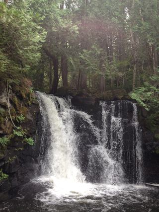 Johnson FallsCanoe-access trail documented; entry point parking and permit details unverifiedCook County, MN8.6 miE
- Bridal Veil FallsPublished hiking route and trailhead documentedCook County, MN8.8 miW
- Rib Lake Falls7 ft (2 m) · Cook County, MN16 miW
- Saganaga FallsCanoe-only wilderness route; permit details not confirmedCook County, MN21 miNW
- Barrier Falls20 ft (6 m) · Cook County, MN23 miS
- Fall River WaterfallPartial guide: parking permission and land status of the short path are unconfirmedCook County, MN24 miS
- Hidden FallsCook County, MN24 miS
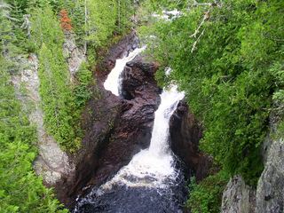 Devil's Kettle FallsState park trail with a long stairway; vehicle permit requiredCook County, MN26 miSE
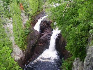 Devil's KettleOfficial state park trail with long stairwayCook County, MN26 miSE