Shadow Falls
Hennepin County, Minnesota
Your visit at a glance
- Waterfall height
- Not recorded
- Location
- Hennepin County, Minnesota
- Access status
- Partial guide: exact path from the lot to the falls is not documented
- The walk
- Short walk; length not published
- Ground & access
- Wooded ravine below the river bluff. Natural surface trails; slopes may be muddy.
Shadow Falls Park sits where Summit Avenue meets Mississippi River Boulevard in Saint Paul. The city park map shows a parking lot, a scenic overlook and off-street trails. A family guide suggests hiking into the park for a glimpse of the waterfall. The exact path to the falls is not described in the archived official sources.
Plan your visit
Shadow Falls Park lot at the end of Summit Avenue into the ravine
No walking distance found in archived sources.
Wooded ravine below the river bluff. Natural surface trails; slopes may be muddy.
Where to start
The city park map marks a parking lot at the park. Fees or time limits were not found.
Timing & water
City lists park hours as sunrise to 11 p.m. Flow is seasonal.
Before you go
No fee or reservation found.
Visitor informationVisit sources
More waterfalls nearby
Within 40 straight-line miles. Road and trail distances will differ.
- Bridal Veil FallsCity viewpoint; staircase location and walking distance not confirmedHennepin County, MN2.0 miNW
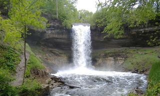 Minnehaha FallsResearched visit notes52 ft (16 m) · Hennepin County, MN2.0 miS
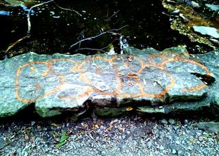 Hidden FallsOfficial walking directions documentedHennepin County, MN2.3 miS
- Hamm’s Memorial WaterfallsCity park feature; exact parking and path not confirmedRamsey County, MN3.8 miNE
- Phalen Regional Park WaterfallLakeside trail location known; parking and pump schedule not confirmedRamsey County, MN7.6 miNE
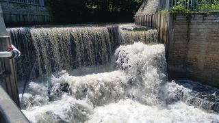 Shingle Creek FallsPark path directions; parking and distance not confirmedHennepin County, MN7.7 miNW
- Fairy FallsUnmaintained trail in an NPS day use area; reopening depends on parkingWashington County, MN21 miNE
- Vermillion FallsCity park viewpoint documented33 ft (10 m) · Dakota County, MN23 miSE
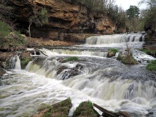 Willow FallsState park trail from the Willow Falls parking lotSt. Croix County, WI26 miE