Wolf Creek Falls
Pine County, Minnesota
Your visit at a glance
- Waterfall height
- Not recorded
- Location
- Pine County, Minnesota
- Access status
- Published state park trail route and distance
- The walk
- About 1.6 miles return
- Ground & access
- Mostly flat forest trail with about 180 feet of total gain per The Outbound.
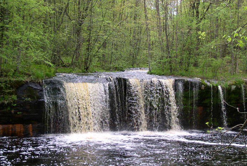
In Banning State Park near Sandstone, follow signs for the campground. The trailhead parking lot is on the left, with a sign marking the trail. Follow the mostly flat trail about 0.6 miles to Wolf Creek Falls. Return the same way. Another option starts at Robinson Park, south of the falls off Old Wagon Road, about 2 miles round trip.
Plan your visit
Banning State Park campground trailhead parking on the Wolf Creek Trail to Wolf Creek Falls
The Outbound gives 0.6 miles to the falls and 1.6 miles round trip for the shortest route from the campground-side lot. A route from Robinson Park in Sandstone is about 2 miles round trip.
Mostly flat forest trail with about 180 feet of total gain per The Outbound.
Where to start
Lot next to the Banning State Park campground, on the left as you approach. Robinson Park in Sandstone is an alternate start.
Timing & water
Flow is best in spring and early summer per the visitor account.
Before you go
State park vehicle permit rules were not confirmed in the sources read.
Visitor informationVisit sources
More waterfalls nearby
Within 40 straight-line miles. Road and trail distances will differ.