Compare 53 Montana waterfall visits by the approach, terrain, and where to start. Some routes have closures or unresolved details; read the individual guide before travelling.
53 visit options
National Park Service trail with published distance
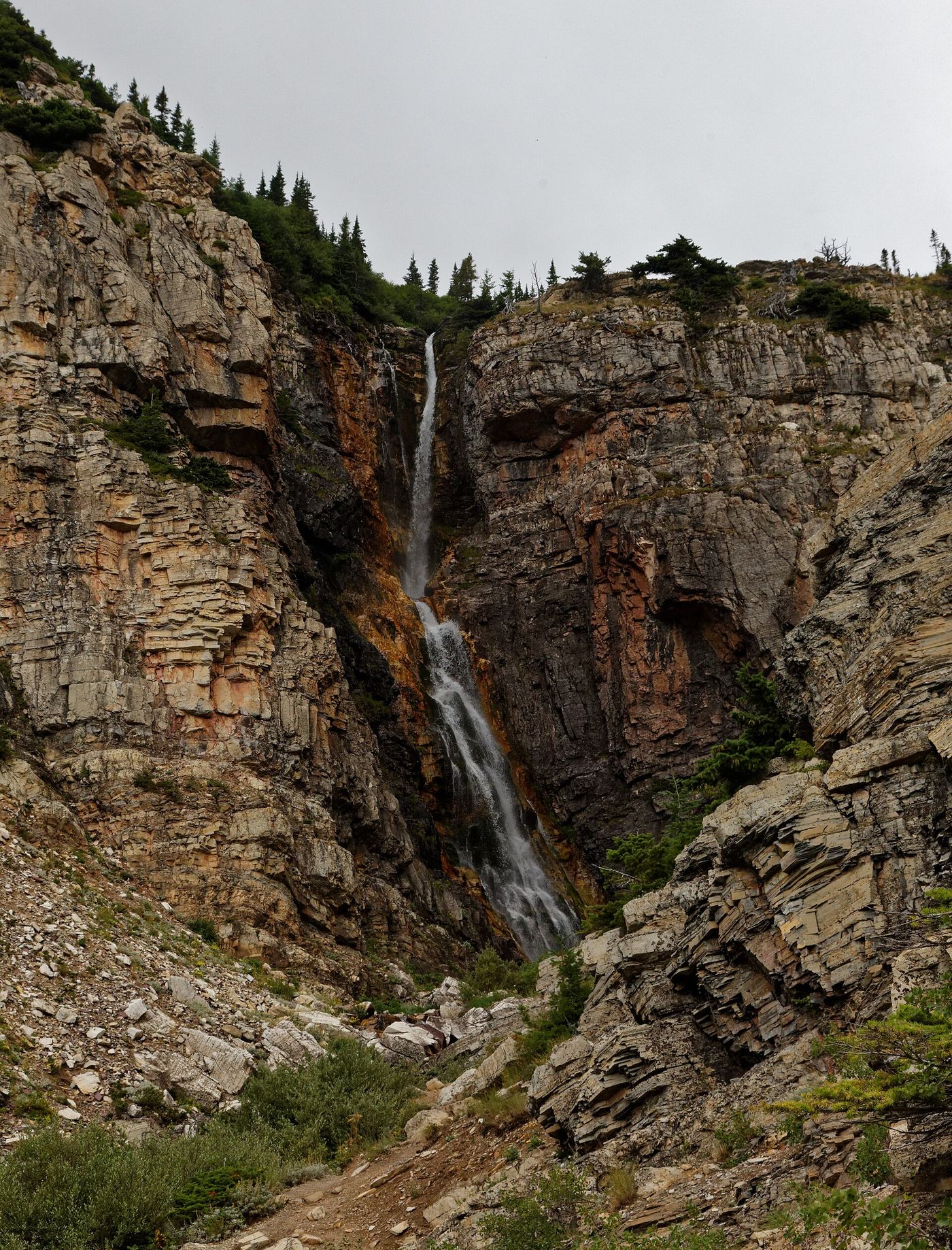
Park at the Apikuni parking area, 1.1 miles east of the Many Glacier Hotel. The trail climbs steeply through forest along Apikuni Creek to the falls. Return the same way.
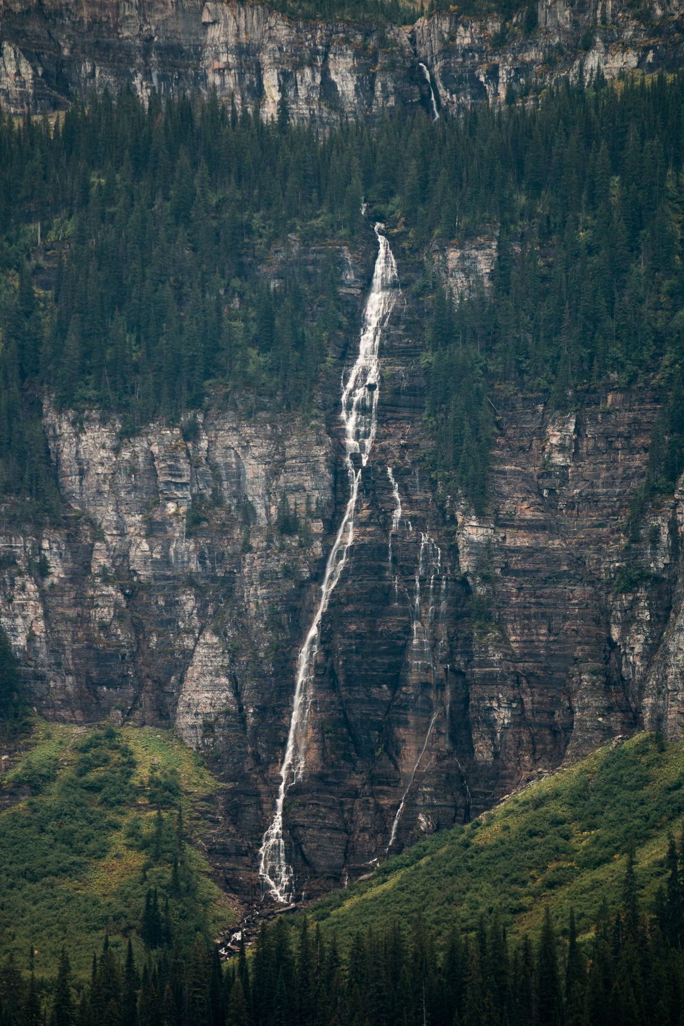
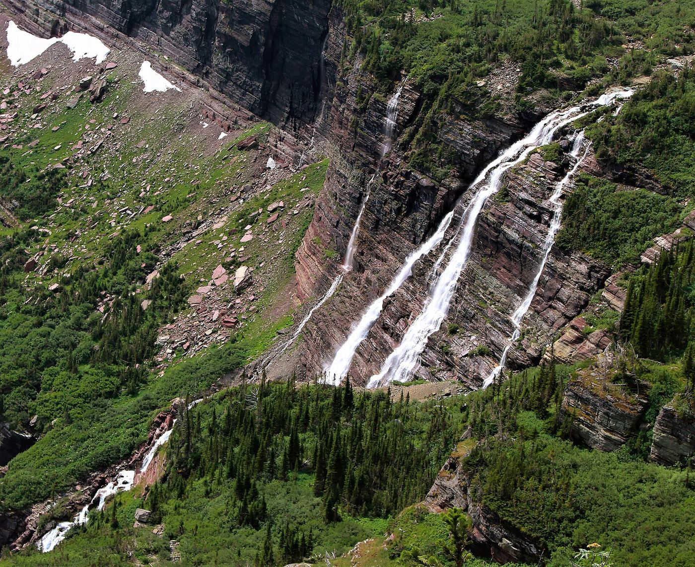
Bird Woman Falls drops about 560 feet from the north face of Clements Mountain. It is seen in the distance from Going-to-the-Sun Road around mile marker 27, west of Logan Pass, between The Loop and Haystack Falls. Pull over only in signed pullouts.
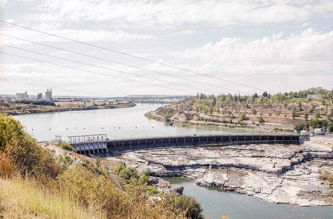
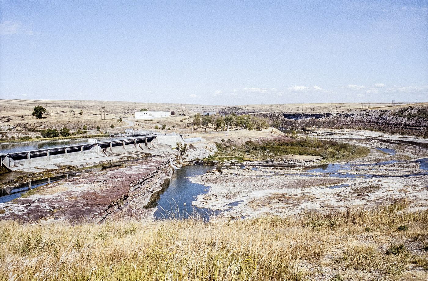
NPS gives the location of Black Eagle Falls as 5401 River Drive North in Great Falls, and says Black Eagle Memorial Island Park, below the falls, gives the closest view. The falls are dammed at the top by Black Eagle Dam. The paved River's Edge Trail also runs along this part of the Missouri River. The exact parking spot and walking path into the island park are not described in the sources.
Firsthand itinerary reaches the climbing glacier trail after about 2.3 miles one way; exact distance to the waterfall view is not established.
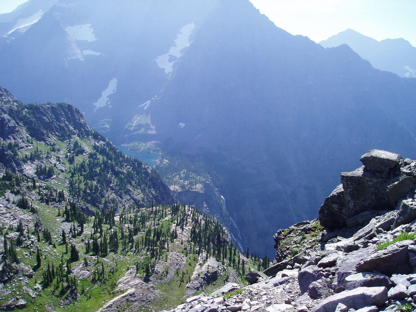
From Many Glacier Hotel, take Swiftcurrent Lake Trail from the south side of the hotel. At about 0.95 mile turn left onto North Shore Josephine Lake Trail. Follow signs for Grinnell Glacier, keeping right at the junctions around miles 2 and 2.3. Both Visit Montana and the firsthand account identify views of Grinnell Falls along the subsequent climb above Grinnell Lake. Return by the same route. This describes a distant trail view, not access to the waterfall base.
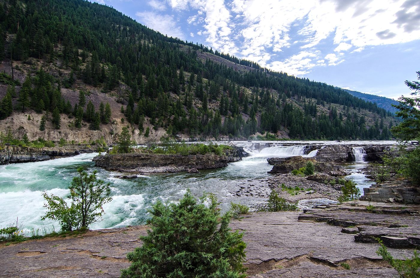
From the highway parking area, follow the dirt trail through the trees and use the enclosed pedestrian bridge over the railway. The local Libby visitor guide describes descending river-view trails and the swinging bridge. Stay on the visitor route and away from railway tracks.
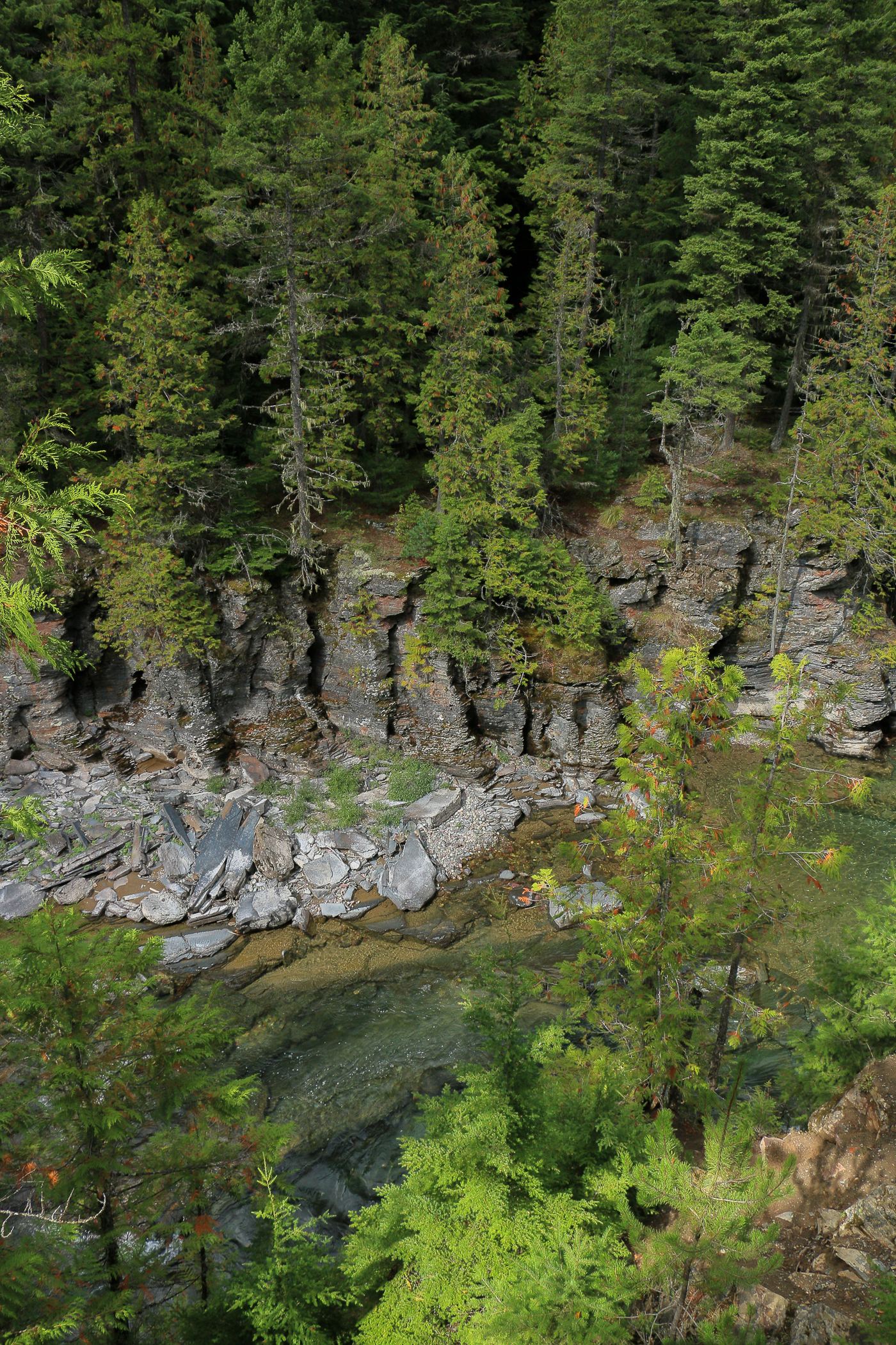
From Lake McDonald Lodge, drive east on Going-to-the-Sun Road about 1.5 miles and turn left onto North Lake McDonald Road. The trailhead is on the right about 0.3 mile from the Sun Road. Walk the gravel path through old-growth cedar and hemlock forest about 0.3 mile to McDonald Falls on McDonald Creek. Return the same way, or continue to Sacred Dancing Cascade.
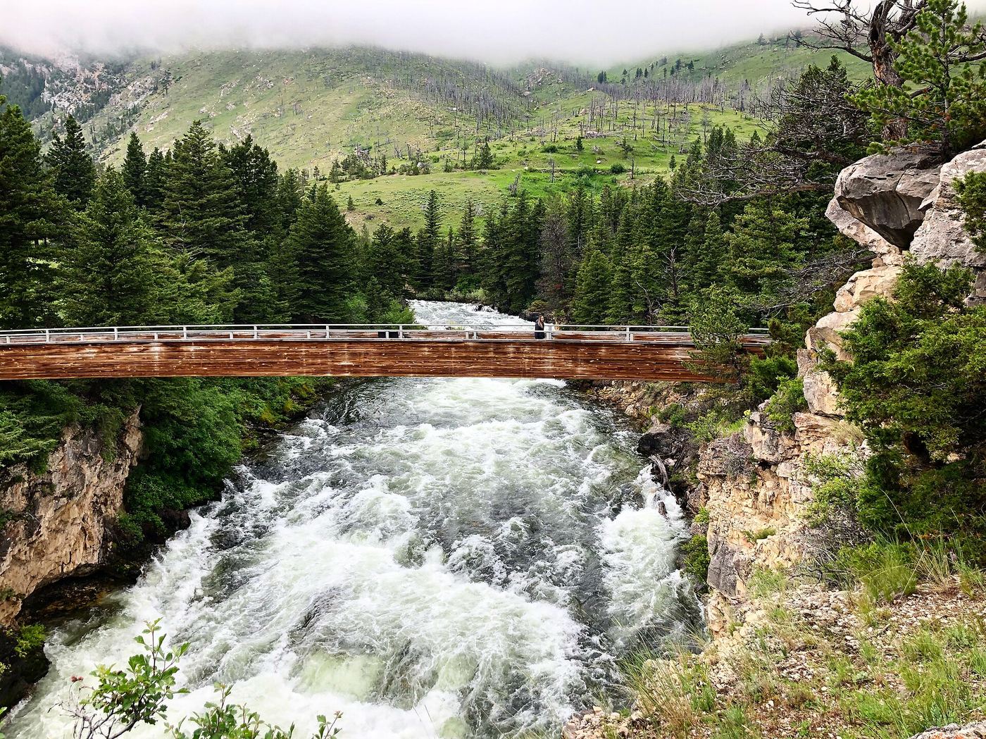
Natural Bridge and Falls is a Custer Gallatin National Forest recreation area about 30 minutes south of Big Timber. The first overlook of the Boulder River is a few feet from the parking lot, and a fairly flat paved trail links several more overlooks with geology signs. A footbridge crosses the river, and a path of about half a mile leads down into the canyon for views from below. The falls pour over the rocks mainly at high water in spring.
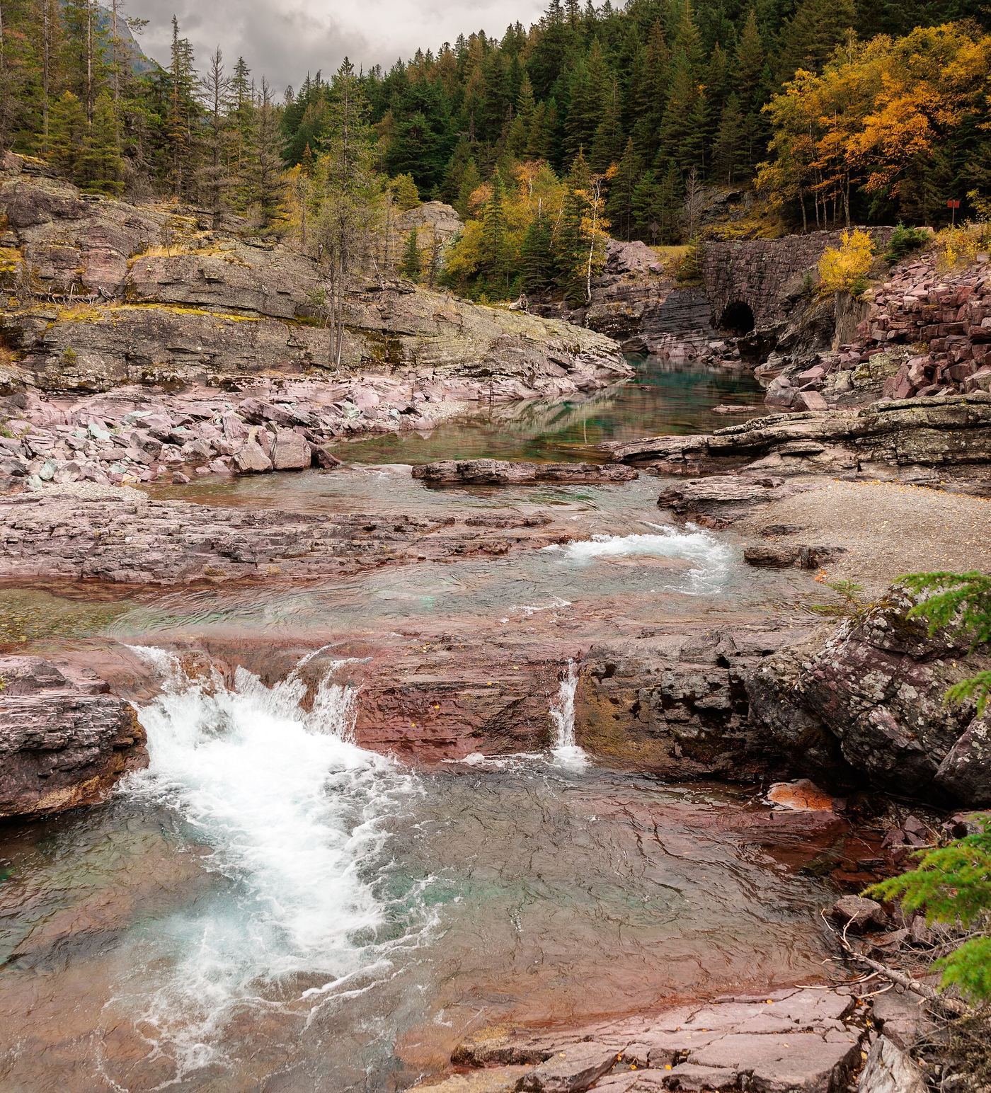
A 2014 Daily Kos photo diary describes Red Rock Falls on McDonald Creek beside Going-to-the-Sun Road, past Avalanche heading up the valley. It says NPS built an expanded paved parking area, made the trail accessible, and added an overlook. Walk from the parking area to the overlook and return the same way. The exact pullout location along the road is not given in the source.
About 1.8 miles one way per the park; about 4.2 miles return per a hiking guide
Redrock Falls is a series of drops on Swiftcurrent Creek below Mount Grinnell. From the trailhead at the end of the Swiftcurrent Motor Inn parking area, follow the Swiftcurrent Pass Trail west past the side path to Fishercap Lake and along Redrock Lake. Just past 2 miles an unmarked left fork leads down to the lower falls. Return the same way.
The trailhead is 1.1 miles west of the Two Medicine entrance station. A wide, well-kept path leads through forest, over a footbridge, to a platform overlooking the falls. Hiking in Glacier says it is one of two accessible trails in the park. In spring the upper fall covers the lower one; by late summer water flows through an opening in the cliff below.
Skalkaho Falls is beside Montana Highway 38, the Skalkaho Highway between Hamilton and Philipsburg. Drive east from Hamilton into the Bitterroot National Forest and up toward Skalkaho Pass. The falls is about two miles below the pass on the Hamilton side. The road is narrow, curvy and partly gravel, with limited turnouts.
Swiftcurrent Falls is on the Swiftcurrent River, the outflow of Swiftcurrent Lake, by the Many Glacier Hotel. Turn from Route 3 onto the road to the Many Glacier Hotel; there are small parking areas on either side of the bridge. The unmarked trail starts past a hill just across the bridge. Follow it to a picnic area, then along the river to views of the falls. Return the same way.
From the Scenic Point parking area, 0.25 miles east of the Two Medicine Ranger Station, follow the trail to Appistoki Falls. NPS lists 0.6 mile one-way with 260 feet of elevation gain. Return the same way.
Aster Falls is a 20-foot falls on Aster Creek dropping in three steps. From the South Shore Trailhead at Two Medicine Lake, follow the South Shore Trail through forest and meadows. At about 1.1 miles cross Aster Creek and turn left onto the Aster Park Trail. In less than a tenth of a mile a short side trail leads down to the base of the falls. Return the same way.
From the Cut Bank Trailhead at the end of Cut Bank Road, follow North Fork Cut Bank Creek through meadow and forest about 4 miles to the Triple Divide Pass Trail junction. Stay left on the Pitamakan Pass Trail toward Morning Star Lake; about 0.2 mile later the trail crosses Atlantic Creek at Atlantic Falls.
Park at the Sunrift Gorge Pullout on the east side of Going-to-the-Sun Road. Walk 0.3 mile down to Baring Falls, losing about 250 feet, and climb back the same way.
Beaver Medicine Falls plunges down a rock wall on Sprague Creek below Sperry Chalet. From the trailhead across Going-to-the-Sun Road from Lake McDonald Lodge, climb the Gunsight Pass Trail toward Sperry Chalet. After following Sprague Creek for about two miles, the trail reaches an opening with a view of the falls to the right. The trail does not approach the falls for a close view. Return the same way, or continue up the switchbacks toward Sperry Chalet.
Short walk from the parking area over the suspension bridge; length not published
This waterfall is the falls below Ryan Dam on the Missouri River, which NPS calls The Great Falls. The reviewed sources do not use the name Big Falls. NPS says the best view is from the high point of Ryan Island Park, reached by a suspension bridge over the river at 160 Ryan Dam Road. The dam now controls the flow over the falls.
From the Boulder Creek Trailhead near Sam Billings Memorial Campground, follow the Boulder Creek Trail up the creek through forest below rock pinnacles to Boulder Falls, where the creek has cut a deep channel through granite slabs. The trail enters the Selway-Bitterroot Wilderness at about 2.5 miles.
About 3.8 miles one way (reported); Canyon Lake is 4.5 miles
From Hamilton, drive to the Canyon Creek Trailhead at the end of Canyon Creek Road. Hike Canyon Creek Trail #525 up the canyon. The trail enters the Selway-Bitterroot Wilderness about 1.5 miles in, then climbs steeply with many switchbacks toward Canyon Lake. Canyon Falls is reported about 3.8 miles up, below the lake. Return the same way.
Trail walk; start point and distance not confirmed
Crooked Falls is a 19-foot natural ledge falls on the Missouri River, about 7 miles upstream of the Great Falls and directly downstream of Rainbow Falls and Rainbow Dam. NPS says it is inaccessible by vehicle. The River's Edge Trail continues past Giant Springs State Park and Rainbow Dam toward the Crooked Falls Overlook. Which trailhead to use and the walking distance were not confirmed.
Dawn Mist Falls is a 50-foot falls in the remote Belly River valley of Glacier National Park, north of Elizabeth Lake. From the Chief Mountain Customs Trailhead, the Belly River Trail drops steeply for about 2 miles to the valley floor, then follows the valley south. Stay straight at the Cosley Lake Cutoff junction and cross the Belly River on a suspension bridge. Just after the crossing, turn at the signed junction for a short spur to the base of the falls. Return the same way. Many hikers make this an overnight trip; backcountry camping needs a permit.
From the trailhead at the eastern end of the Jackson Glacier Overlook parking area on Going-to-the-Sun Road, hike south and downhill toward the Reynolds Creek Backcountry Campground. After about 1.1 miles the creek comes into view; a little further is Deadwood Falls, a 10-foot waterfall with deep pools. The Gunsight Pass Trail junction is about a tenth of a mile beyond. The climb back gains about 665 feet.
Return hike; full parking-to-endpoint distance unverified
Diane Greer's firsthand guides connect the Many Glacier Picnic Area trailhead to Swiftcurrent Lake, then the North Shore Lake Josephine Trail. Stay on the lakeshore route at the Grinnell Glacier branch. Around the head of Lake Josephine, take the South Shore trail toward the Oastler Shelter/boat dock, then the spur toward Piegan Pass. Turn southwest onto Piegan Pass Trail. The Cataract Creek valley offers distant views of Feather Plume Falls descending the cliff between Mount Gould and Angel Wing. Return the same way; no route to the waterfall base is included.
Feather Woman Falls drops about 350 feet from below a moraine in Glacier Basin above Sperry Chalet. From the trailhead across Going-to-the-Sun Road from Lake McDonald Lodge, climb the Gunsight Pass Trail 5.8 miles to the junction with the Sperry Glacier Trail, 0.4 mile below Sperry Chalet. Follow the Sperry Glacier Trail through trees and meadows, across a large talus field, to a creek crossing below the falls. It is a very long day hike; many hikers stay at Sperry Chalet or the campground and visit from there.
From the Jackson Glacier Overlook trailhead, descend past Deadwood Falls, turn right at the Gunsight Pass Trail junction and cross the suspension bridge by Reynolds Creek Campground. Follow the St. Mary River valley. Just past 3.9 miles, after a series of cascades, take the side trail on the right about a mile to the base of Florence Falls. A short scramble of 10 to 15 feet up the hillside shows most of the falls.
About 7.3 miles one way; combined from two sources
Start at the Belly River Trailhead on the Chief Mountain International Highway (Highway 17), just before the Canadian border. The trail descends to the Belly River and follows the valley to the Belly River Ranger Station area. Turn toward Cosley Lake. In about a mile, a short side trail on the left leads about 0.2 mile down to Gros Ventre Falls, where the Mokowanis River cascades into a pool. Most visitors do this as part of an overnight trip.
About 3.2 miles one way on foot; about 2.5 miles return using the boats
Hidden Falls is a 25-foot falls in a narrow gorge of Cataract Creek near Grinnell Lake. On foot, start at the Grinnell Glacier Trailhead at the Many Glacier picnic area and follow the trail along the lakes to the junction for Grinnell Lake, then on to the swing bridge over Cataract Creek. On the east side of the bridge a short spur climbs to a wooden viewing platform. A shorter option is to take the concession boats across Swiftcurrent Lake and Lake Josephine from the Many Glacier Hotel dock; boat fees apply.
Ipasha Falls is catalogued near Ipasha Lake in Glacier National Park. A firsthand lake visit describes leaving the maintained trail above Mokowanis Lake and pushing through dense alder between Margaret and Ipasha lakes. This documents the remote lake approach, not a confirmed final waterfall view.
From Libby, drive south on US 2, then Bear Creek Road, Cherry Creek Road 867 and Leigh Creek Road 4786 to the trailhead at the road end. Hike Leigh Lake Trail #132 about 1.2 miles to the base of Leigh Creek Falls, a drop of about 100 feet. Return the same way, or climb about 200 vertical feet of rock beside the falls to continue to Leigh Lake.
About 3.6 miles return to Virginia Falls (NPS: 1.8 miles one way)
From the St. Mary Falls Trailhead on Going-to-the-Sun Road, hike past St. Mary Falls and climb along Virginia Creek to Virginia Falls. There are two named tiers about 40 meters apart; this guide is for the lower tier. NPS describes the route to Virginia Falls but does not say whether the trail end gives a view of the lower tier specifically.
Mission Falls is on Mission Creek in the Mission Mountains on the Flathead Reservation, on tribally owned land. Take Mission Dam Road from St. Ignatius to the trailhead. The trail follows Mission Creek through mixed pine, fir and cedar forest to the falls. Most of the climbing is at the start and in the last half mile, which is steep in places. A trail beyond the falls toward Lucifer Lake is not maintained.
Return hike; full parking-to-endpoint distance unverified
Diane Greer's firsthand guides connect the Many Glacier Picnic Area trailhead to Swiftcurrent Lake, then the North Shore Lake Josephine Trail. Stay on the lakeshore route at the Grinnell Glacier branch. Around the head of Lake Josephine, take the South Shore trail toward the Oastler Shelter/boat dock, then the spur toward Piegan Pass. Turn southwest onto Piegan Pass Trail. Continue past the Grinnell Lake junction and cross Cataract Creek on the trail bridges to reach the waterfall base, then return the same way.
About 7.3 to 7.9 miles one way, about 15.7 miles return
North Fork Falls is on the North Fork of the Blackfoot River in the Scapegoat Wilderness. From MT-200 about five miles past Ovando, take the gravel road about 12 miles to the North Fork Blackfoot River Trailhead. The Hobnail Tom Trail follows the river canyon with a gentle grade, crossing on footbridges, to the historic North Fork Cabin about seven miles in. Just beyond the cabin the trail gives views of the falls from the cliffs above. Return the same way.
Passage Falls drops off a cliff into a gorge on Passage Creek in the Custer Gallatin National Forest. From the trailhead on Mill Creek Road, head south across bridges over Mill Creek and Passage Creek. Follow the creek about 2 miles to a fork, take the right fork up a hill overlooking meadows and private land, then turn sharply left down to the falls. Stay on the trail and do not cross into private land. Return the same way.
View from the turnout; no waterfall approach hike described.
MyHikes contributor Dave Miller documents a distant view of Piegan Falls from a paved turnout east of Logan Pass. Look northwest toward the waterfall on the slopes of Piegan Mountain. This is a roadside viewpoint, with no need to leave the vehicle for the view. It does not describe a route to the base.
All NPS Goat Haunt day hikes start at Goat Haunt Ranger Station at the south end of Upper Waterton Lake. Rainbow Falls is a 1-mile walk from the station. Goat Haunt has no road access; reaching it involves cross-border travel from Waterton, Canada, or a long trail approach. NPS directs visitors to its Trail Status page for cross-border rules.
From the South Shore Trailhead at Two Medicine Lake, pass the ponds, cross Aster Creek and continue past the Aster Falls side trail. At about 2.3 miles turn left onto the Two Medicine Pass Trail. Just under 3.5 miles cross a footbridge; the trail turns right and reaches the base of Rockwell Falls, a two-part waterfall.
From the St. Mary Falls Trailhead on Going-to-the-Sun Road, hike 1.2 miles down to St. Mary Falls, losing about 260 feet. Return the same way. When the park shuttle runs, the St. Mary Falls Shuttle Stop gives a shorter 0.8-mile approach. Virginia Falls is farther up the same trail.
About 5.3 miles one way to the Grinnell Glacier Viewpoint, or 3.6 miles with the boats
Salamander Falls drains Salamander Glacier, which sits on the east face of the Garden Wall above Upper Grinnell Lake, and cascades down toward the lake. The falls are viewed from the upper Grinnell Glacier Trail. The trail climbs through meadows with views of the Salamander from early on. It is not confirmed which point along the trail gives the best view of these falls.
About 9 miles return, combined from two NPS figures
In 2026 the North Shore Trailhead is not accessible because of construction in Two Medicine Campground. NPS says hikers can reach Twin Falls without a ford by using the South Shore Trail, which adds about a mile each way. Follow the South Shore Trail past Two Medicine Lake to Twin Falls and return the same way. NPS also lists a 0.9-mile one-way walk from the concession boat landing, with tour fees.
About 3.6 miles return to Virginia Falls (NPS: 1.8 miles one way)
From the St. Mary Falls Trailhead on Going-to-the-Sun Road, hike past St. Mary Falls and climb along Virginia Creek to Virginia Falls. There are two named tiers about 40 meters apart; this guide is for the upper tier. NPS describes the route to Virginia Falls but does not say whether the trail end gives a view of the upper tier specifically.