Skalkaho Falls
Ravalli County, Montana
Your visit at a glance
- Waterfall height
- Not recorded
- Location
- Ravalli County, Montana
- Access status
- Roadside falls on a seasonal highway; parking not confirmed
- The walk
- Roadside; no walk described
- Ground & access
- Roadside. The highway is narrow and unpaved in the forest section.
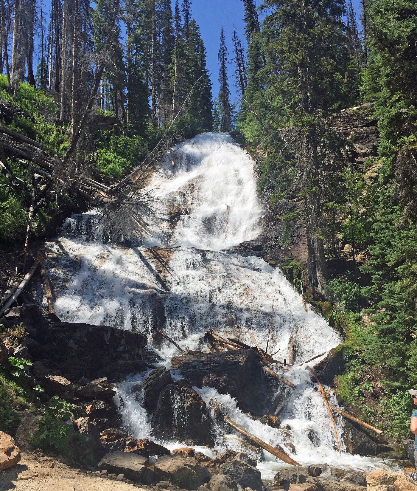
Skalkaho Falls is beside Montana Highway 38, the Skalkaho Highway between Hamilton and Philipsburg. Drive east from Hamilton into the Bitterroot National Forest and up toward Skalkaho Pass. The falls is about two miles below the pass on the Hamilton side. The road is narrow, curvy and partly gravel, with limited turnouts.
Plan your visit
Montana Highway 38 (Skalkaho Highway), which passes the falls about two miles below Skalkaho Pass
The highway passes the falls. No walking distance is published.
Roadside. The highway is narrow and unpaved in the forest section.
Where to start
Not confirmed. Sources say turnouts are limited; no named parking area at the falls is described.
Timing & water
The upper highway is closed in winter and usually fully opens in May or early June, per Big Sky Fishing. Check Montana 511 for current status.
Before you go
No fee is mentioned in the sources read. There are no services along the highway.
Visitor informationMore waterfalls nearby
Within 40 straight-line miles. Road and trail distances will differ.
- Lower Sweathouse FallsRavalli County, MT24 miNW
- Canyon FallsForest Service trail; distance to the falls not officially confirmedRavalli County, MT24 miW
- Upper Sweathouse FallsRavalli County, MT24 miNW
- Star FallsRavalli County, MT26 miSE
- Boulder FallsOfficial trailhead and published trail distance documentedRavalli County, MT36 miSW
- Patsy Ann FallsIdaho County, ID37 miSW
- Overwich FallsRavalli County, MT39 miS