Woodbine Falls
Stillwater County, Montana
Your visit at a glance
- Waterfall height
- Not recorded
- Location
- Stillwater County, Montana
- The walk
- 0.8 mile to the falls
- Ground & access
- Steady climb on a natural-surface hiking trail.
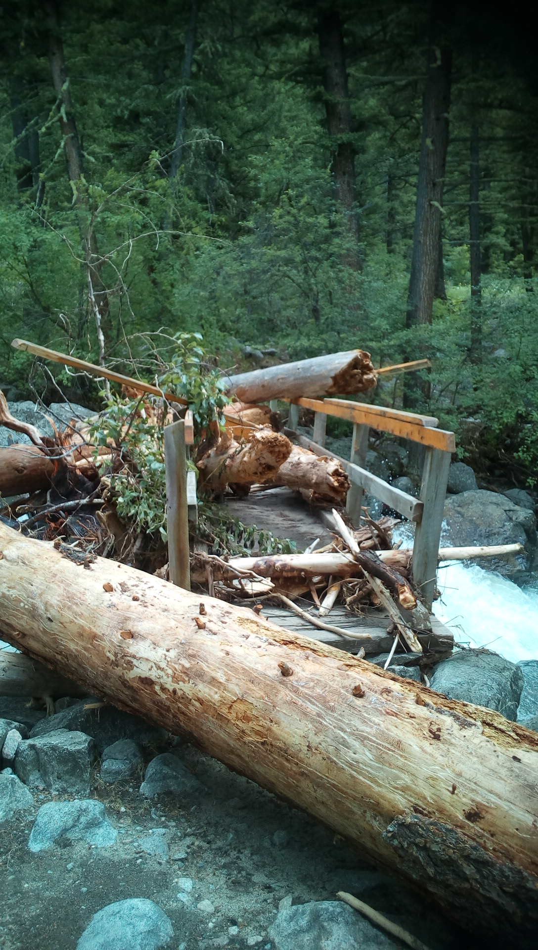
Photo credit
Photo: Forest Service - Northern Region, Public domain, via Wikimedia CommonsFrom the back of Woodbine Campground, follow Trail #93 steadily uphill to the falls.
Plan your visit
Woodbine Falls Trail #93
The Forest Service lists a 0.8-mile trail from Woodbine Campground to the falls; returning the same way is about 1.6 miles.
Steady climb on a natural-surface hiking trail.
Where to start
Use the small trailhead parking area at the back of Woodbine Campground, beyond Nye and the Stillwater Mine.
Timing & water
Check current access and conditions before travel; the reviewed source does not establish a reliable visiting season.
Before you go
Fees, permits and reservation requirements for this visit have not been confirmed; check with the land manager.
Visitor informationVisit sources
More waterfalls nearby
Within 40 straight-line miles. Road and trail distances will differ.
- Impasse FallsCarbon County, MT18 miSE
 Natural Bridge WaterfallForest Service paved overlook trail from parkingSweet Grass County, MT21 miNW
- Sentinel FallsParking and approach documented by a firsthand trail author; current conditions unknown.Carbon County, MT22 miSE
- Calamity FallsRoute documented by firsthand hiking sourceCarbon County, MT22 miSE
- Crazy Creek FallsPartial guide: short trail from a national forest campground; day-use parking and distance not confirmedPark County, WY29 miS
- Passage FallsNational forest trail; winter road closurePark County, MT31 miW
- Beartooth FallsPark County, WY32 miSE