Natural Bridge Waterfall
Sweet Grass County, Montana
Your visit at a glance
- Waterfall height
- Not recorded
- Location
- Sweet Grass County, Montana
- Access status
- Forest Service paved overlook trail from parking
- The walk
- About 0.8 mile return on the paved overlook trail
- Ground & access
- Paved trail, mostly level, average grade about 7 percent. The walk down into the canyon is steeper and unpaved.
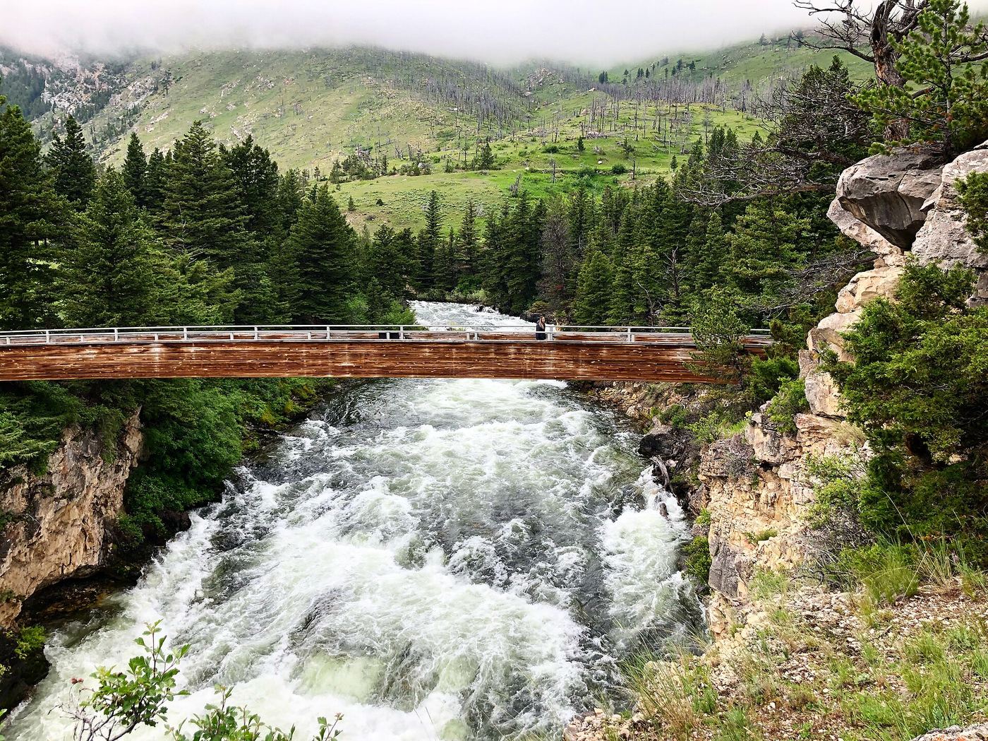
Photo credit
Photo: Forest Service - Northern Region, Public domain, via Wikimedia CommonsNatural Bridge and Falls is a Custer Gallatin National Forest recreation area about 30 minutes south of Big Timber. The first overlook of the Boulder River is a few feet from the parking lot, and a fairly flat paved trail links several more overlooks with geology signs. A footbridge crosses the river, and a path of about half a mile leads down into the canyon for views from below. The falls pour over the rocks mainly at high water in spring.
Plan your visit
Natural Bridge and Falls recreation area paved overlook trail, Boulder River south of Big Timber
The National Recreation Trail listing (from a 1981 application) lists 0.8 miles out and back. A 2019 review calls the loop less than half a mile round trip. KXLF gives about half a mile for the hike down to the canyon bottom.
Paved trail, mostly level, average grade about 7 percent. The walk down into the canyon is steeper and unpaved.
Where to start
Natural Bridge and Falls recreation area parking lot on the Boulder River road south of McLeod, about 30 minutes south of Big Timber.
Timing & water
The waterfall flows over the rocks mainly in early spring at high water; at lower flows the river runs through holes in the rock. Current road and trail conditions not verified.
Before you go
No fee or booking was stated in the sources.
Visitor informationVisit sources
More waterfalls nearby
Within 40 straight-line miles. Road and trail distances will differ.