Passage Falls
Park County, Montana
Your visit at a glance
- Waterfall height
- Not recorded
- Location
- Park County, Montana
- Access status
- National forest trail; winter road closure
- The walk
- About 2.5 miles one way, about 5 miles return
- Ground & access
- Moderate. Lightly forested, burned trail with some minor creek obstacles.
Passage Falls drops off a cliff into a gorge on Passage Creek in the Custer Gallatin National Forest. From the trailhead on Mill Creek Road, head south across bridges over Mill Creek and Passage Creek. Follow the creek about 2 miles to a fork, take the right fork up a hill overlooking meadows and private land, then turn sharply left down to the falls. Stay on the trail and do not cross into private land. Return the same way.
Plan your visit
Passage Creek (Wallace Creek) trailhead on Mill Creek Road, across Mill Creek and Passage Creek, up the Passage Creek valley to the falls
The Livingston Enterprise gives about 2.5 miles from the trailhead to the waterfall, or 5 miles round trip.
Moderate. Lightly forested, burned trail with some minor creek obstacles.
Where to start
Trailhead on the right about 14 miles up Mill Creek Road from Highway 89, between mile markers 37 and 38 south of Livingston.
Timing & water
The road is closed to vehicles at Snowbank Campground, six miles before the trailhead, in winter and early spring.
Before you go
No fee or permit is mentioned by either source.
Visitor informationVisit sources
More waterfalls nearby
Within 40 straight-line miles. Road and trail distances will differ.
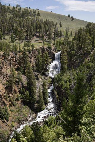 Undine FallsRoadside overlook in the national park59 ft (18 m) · Park County, WY22 miS
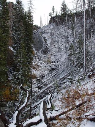 Wraith FallsResearched visit notesPark County, WY22 miS
- Lost Creek FallsWaterfall spur closure needs confirmationPark County, WY23 miS
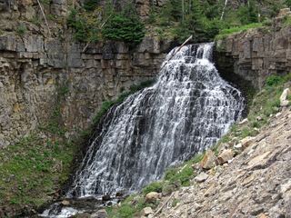 Rustic FallsRoadside falls with small pulloutsPark County, WY24 miSW
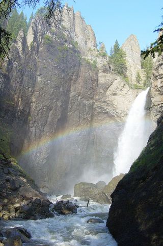 Tower FallSource-reviewed route and parking131 ft (40 m) · Park County, WY25 miS
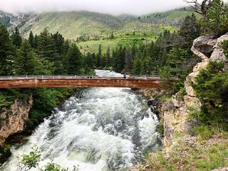 Natural Bridge WaterfallForest Service paved overlook trail from parkingSweet Grass County, MT25 miNE
- Palisade FallsResearched visit notesGallatin County, MT26 miNW
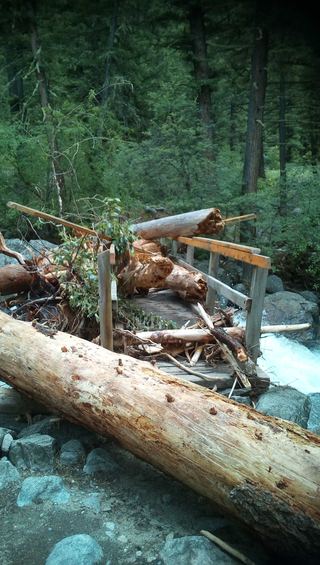 Woodbine FallsResearched visit notesStillwater County, MT31 miE
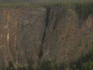 Silver Cord CascadeParking and canyon-rim viewing route documented; exact viewpoint distance unknown1,214 ft (370 m) · Park County, WY36 miS