Salamander Falls
Flathead County, Montana
Your visit at a glance
- Waterfall height
- Not recorded
- Location
- Flathead County, Montana
- Access status
- Long national park hike; falls seen from a distance; exact viewpoint not confirmed
- The walk
- About 5.3 miles one way to the Grinnell Glacier Viewpoint, or 3.6 miles with the boats
- Ground & access
- Strenuous. About 1,600 feet of gain on the trail to the viewpoint.
Salamander Falls drains Salamander Glacier, which sits on the east face of the Garden Wall above Upper Grinnell Lake, and cascades down toward the lake. The falls are viewed from the upper Grinnell Glacier Trail. The trail climbs through meadows with views of the Salamander from early on. It is not confirmed which point along the trail gives the best view of these falls.
Plan your visit
Grinnell Glacier Trail from the Grinnell Glacier Trailhead (or the Many Glacier Hotel boats) to the upper trail and viewpoint area facing the Garden Wall
The National Park Service lists the Grinnell Glacier Viewpoint at 5.3 miles one way from the trailhead, or 3.6 miles using the concession boat. The falls are viewed from a distance; no source gives a distance to a specific viewpoint of these falls.
Strenuous. About 1,600 feet of gain on the trail to the viewpoint.
Where to start
Grinnell Glacier Trailhead parking at the Many Glacier picnic area, or Many Glacier Hotel for the boats.
Timing & water
Seasonal trail and boat dates were not confirmed from a source read.
Before you go
Glacier National Park entrance fee applies; the standard entrance pass is $20 to $35. The park says no vehicle reservations are required in 2026. Concession boat fees are separate.
Visitor informationVisit sources
More waterfalls nearby
Within 40 straight-line miles. Road and trail distances will differ.
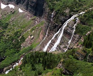 Grinnell FallsPartial: exact waterfall-view turnaround distance unknownGlacier County, MT0.9 miNE
- Haystack Creek FallsFlathead County, MT1.1 miSW
- Feather Plume FallsDocumented walking approach; autumn bridge conditions unverified and boats closed for 2026Glacier County, MT1.5 miE
- Hidden FallsNational park trail with optional boat; short steep spurGlacier County, MT2.0 miNE
- Morning Eagle FallsDocumented walking approach; autumn bridge conditions unverified and boats closed for 2026Glacier County, MT2.1 miSE
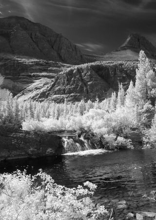 Redrock FallsNational park trail; easyGlacier County, MT3.0 miN
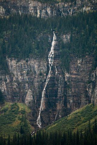 Bird Woman FallsRoadside view from Going-to-the-Sun Road951 ft (290 m) · Flathead County, MT3.2 miS
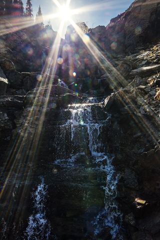 Oberlin FallsGlacier County, MT3.8 miS
- Piegan FallsSource-reviewed route and parkingGlacier County, MT4.0 miSE