Grinnell Falls
Glacier County, Montana
Your visit at a glance
- Waterfall height
- Not recorded
- Location
- Glacier County, Montana
- Access status
- Partial: exact waterfall-view turnaround distance unknown
- The walk
- Firsthand itinerary reaches the climbing glacier trail after about 2.3 miles one way; exact distance to the waterfall view is not established.
- Ground & access
- Initially lakeside walking, followed by climbing switchbacks and exposed slopes. Snow, wildlife and trail closures can change access.
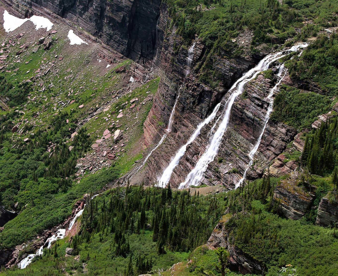
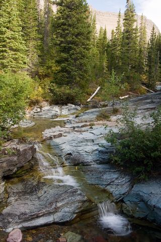
From Many Glacier Hotel, take Swiftcurrent Lake Trail from the south side of the hotel. At about 0.95 mile turn left onto North Shore Josephine Lake Trail. Follow signs for Grinnell Glacier, keeping right at the junctions around miles 2 and 2.3. Both Visit Montana and the firsthand account identify views of Grinnell Falls along the subsequent climb above Grinnell Lake. Return by the same route. This describes a distant trail view, not access to the waterfall base.
Plan your visit
View Grinnell Falls from Grinnell Glacier Trail
Visit Montana lists 10.3 miles for the full glacier hike, and the firsthand hotel-to-glacier itinerary is about 12 miles. Neither is a falls-only distance; do not publish either as such.
Initially lakeside walking, followed by climbing switchbacks and exposed slopes. Snow, wildlife and trail closures can change access.
Where to start
The firsthand itinerary starts at Many Glacier Hotel parking, approximately 48.795688,-113.656045. Hotel guests compete for spaces. Its old construction warning is superseded by the NPS February 2026 statement that the Swiftcurrent-area work is complete; this guide does not require an old construction detour.
Timing & water
Current access and seasonal conditions require confirmation with the land manager.
Before you go
Unknown: current fees or reservation requirements were not established in the reviewed source.
Visitor informationVisit sources
More waterfalls nearby
Within 40 straight-line miles. Road and trail distances will differ.
- Salamander FallsLong national park hike; falls seen from a distance; exact viewpoint not confirmedFlathead County, MT0.9 miSW
- Feather Plume FallsDocumented walking approach; autumn bridge conditions unverified and boats closed for 2026Glacier County, MT1.1 miSE
- Hidden FallsNational park trail with optional boat; short steep spurGlacier County, MT1.2 miE
- Haystack Creek FallsFlathead County, MT2.0 miSW
- Morning Eagle FallsDocumented walking approach; autumn bridge conditions unverified and boats closed for 2026Glacier County, MT2.1 miSE
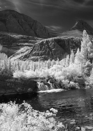 Redrock FallsNational park trail; easyGlacier County, MT2.3 miN
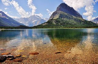 Swiftcurrent FallsShort walk by the Many Glacier HotelGlacier County, MT4.0 miNE
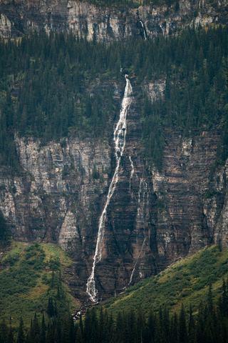 Bird Woman FallsRoadside view from Going-to-the-Sun Road951 ft (290 m) · Flathead County, MT4.0 miS
 Ptarmigan FallsResearched visit notesGlacier County, MT4.1 miN