Morning Eagle Falls
Glacier County, Montana
Your visit at a glance
- Waterfall height
- Not recorded
- Location
- Glacier County, Montana
- Access status
- Documented walking approach; autumn bridge conditions unverified and boats closed for 2026
- The walk
- Return hike; full parking-to-endpoint distance unverified
- Ground & access
- Forest and meadow trails, lake-edge walking, stream bridges and ascending grades. Snow and missing seasonal bridges can affect the approach. Do not cross snow bridges.
Diane Greer's firsthand guides connect the Many Glacier Picnic Area trailhead to Swiftcurrent Lake, then the North Shore Lake Josephine Trail. Stay on the lakeshore route at the Grinnell Glacier branch. Around the head of Lake Josephine, take the South Shore trail toward the Oastler Shelter/boat dock, then the spur toward Piegan Pass. Turn southwest onto Piegan Pass Trail. Continue past the Grinnell Lake junction and cross Cataract Creek on the trail bridges to reach the waterfall base, then return the same way.
Plan your visit
Many Glacier Picnic Area via Lake Josephine and Piegan Pass Trail to Morning Eagle Falls
The firsthand guide reaches the falls 3.2 miles from the Lake Josephine boat dock. Walking from the parking area adds distance in both directions; its boat-based mileage is not presented as the full return walk.
Forest and meadow trails, lake-edge walking, stream bridges and ascending grades. Snow and missing seasonal bridges can affect the approach. Do not cross snow bridges.
Where to start
Diane Greer identifies the Grinnell Glacier trailhead at the Many Glacier Picnic Area on the south side of Many Glacier Road, about 0.5 mile west of the Many Glacier Hotel turnoff. The walking route begins at the southwest end of the parking area.
Timing & water
The Glacier Park Boat Company is closed for the 2026 season as checked October 27. The walk described does not depend on that boat. NPS warns of autumn snow and removal of most seasonal bridges by late September; current bridge installation on this particular route was not verified.
Before you go
The route described walks from the picnic-area parking and does not require a boat ticket. Park entrance requirements apply; no waterfall-specific reservation was verified.
Visitor informationVisit sources
More waterfalls nearby
Within 40 straight-line miles. Road and trail distances will differ.
- Feather Plume FallsDocumented walking approach; autumn bridge conditions unverified and boats closed for 2026Glacier County, MT1.1 miN
- Piegan FallsSource-reviewed route and parkingGlacier County, MT2.0 miSE
- Salamander FallsLong national park hike; falls seen from a distance; exact viewpoint not confirmedFlathead County, MT2.1 miNW
- Hidden FallsNational park trail with optional boat; short steep spurGlacier County, MT2.1 miN
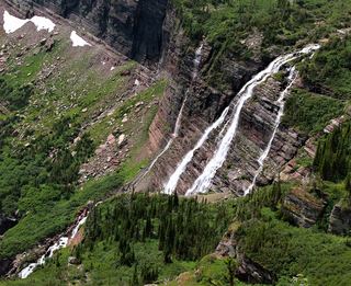 Grinnell FallsPartial: exact waterfall-view turnaround distance unknownGlacier County, MT2.1 miNW
- Haystack Creek FallsFlathead County, MT2.1 miW
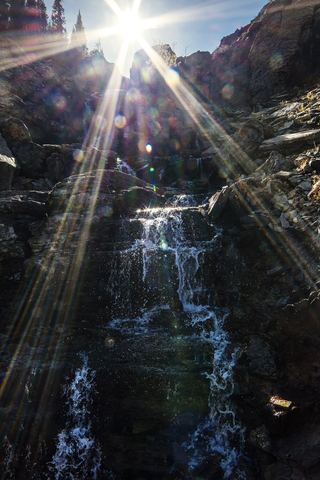 Oberlin FallsGlacier County, MT2.8 miSW
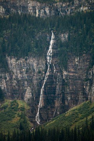 Bird Woman FallsRoadside view from Going-to-the-Sun Road951 ft (290 m) · Flathead County, MT3.0 miSW
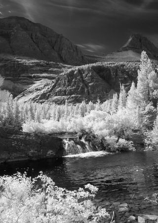 Redrock FallsNational park trail; easyGlacier County, MT4.1 miN