Beaver Chief Falls
Flathead County, Montana
Your visit at a glance
- Waterfall height
- Not recorded
- Location
- Flathead County, Montana
- Access status
- Researched walking route
- The walk
- About 16 miles return
- Ground & access
- Steep climb and descent over Snyder Ridge. NPS gives 2,250 feet gained and 800 feet lost on the outward trip.
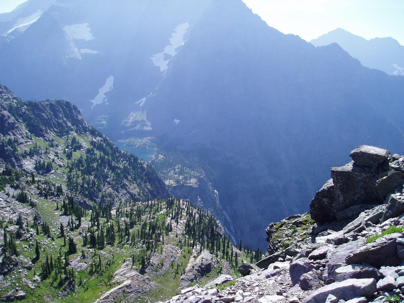
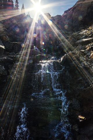
A strenuous lake hike provides a documented view of Beaver Chief Falls. The viewpoint evidence is from Hike 734’s firsthand report.
Plan your visit
Take the Lincoln Lake Trail over Snyder Ridge to Lincoln Lake and return the same way. Hike 734’s photographed July 2024 report confirms views of Beaver Chief Falls from the lake.
NPS lists Lincoln Lake as 8 miles one-way. Returning on the same trail gives about 16 miles; the firsthand report describes over 16 miles. This reaches a lake view, not the waterfall base.
Steep climb and descent over Snyder Ridge. NPS gives 2,250 feet gained and 800 feet lost on the outward trip.
Where to start
NPS specifies Lincoln Lake parking area on Going-to-the-Sun Road between Apgar and Lake McDonald Lodge.
Timing & water
Current trail and road conditions not established by the 2021 NPS route page or 2024 trip report.
Before you go
Current park admission and overnight permit arrangements not verified in these route sources.
Visitor informationVisit sources
More waterfalls nearby
Within 40 straight-line miles. Road and trail distances will differ.
- Feather Woman FallsLong national park hike; usually from Sperry ChaletFlathead County, MT1.4 miNW
- Beaver Medicine FallsNational park trail; distant view of the falls; long climbFlathead County, MT1.6 miW
- Akaiyan FallsFlathead County, MT1.7 miNW
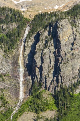 Monument FallsFlathead County, MT3.9 miN
- Siksika FallsGlacier County, MT3.9 miNE
- Florence FallsPublished trail route documentedGlacier County, MT5.1 miNE
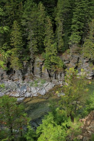 McDonald FallsShort trail route with published distanceFlathead County, MT5.5 miNW
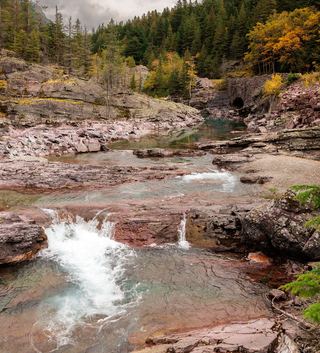 Red Rock FallsShort roadside overlook walk; exact pullout and distance unconfirmedFlathead County, MT7.4 miN
 Oberlin FallsGlacier County, MT7.5 miN