Feather Woman Falls
Flathead County, Montana
Your visit at a glance
- Waterfall height
- Not recorded
- Location
- Flathead County, Montana
- Access status
- Long national park hike; usually from Sperry Chalet
- The walk
- About 6.2 miles one way, about 12.4 miles return
- Ground & access
- Strenuous. Large climb from the lodge, talus field and creek crossing.
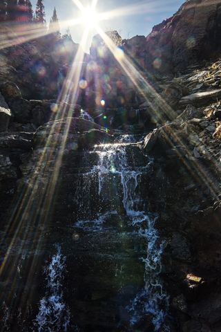
Feather Woman Falls drops about 350 feet from below a moraine in Glacier Basin above Sperry Chalet. From the trailhead across Going-to-the-Sun Road from Lake McDonald Lodge, climb the Gunsight Pass Trail 5.8 miles to the junction with the Sperry Glacier Trail, 0.4 mile below Sperry Chalet. Follow the Sperry Glacier Trail through trees and meadows, across a large talus field, to a creek crossing below the falls. It is a very long day hike; many hikers stay at Sperry Chalet or the campground and visit from there.
Plan your visit
Gunsight Pass Trailhead across from Lake McDonald Lodge, Gunsight Pass Trail to the Sperry Glacier Trail junction, then the Sperry Glacier Trail to the creek crossing below Feather Woman Falls
Hiking Walking gives 5.8 miles on the Gunsight Pass Trail to the Sperry Glacier Trail junction and 0.4 mile more to the creek below Feather Woman Falls. The one-way total adds the two; the return figure is double it.
Strenuous. Large climb from the lodge, talus field and creek crossing.
Where to start
Lake McDonald Lodge parking, then cross Going-to-the-Sun Road at the crosswalk to the trailhead. Lots can be congested; the source suggests the shuttle.
Timing & water
Seasonal trail and chalet opening dates were not confirmed from a source read.
Before you go
Glacier National Park entrance fee applies; the standard entrance pass is $20 to $35. The park says no vehicle reservations are required in 2026.
Visitor informationVisit sources
More waterfalls nearby
Within 40 straight-line miles. Road and trail distances will differ.
- Akaiyan FallsFlathead County, MT0.3 miNW
- Beaver Medicine FallsNational park trail; distant view of the falls; long climbFlathead County, MT1.1 miSW
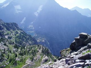 Beaver Chief FallsResearched walking routeFlathead County, MT1.4 miSE
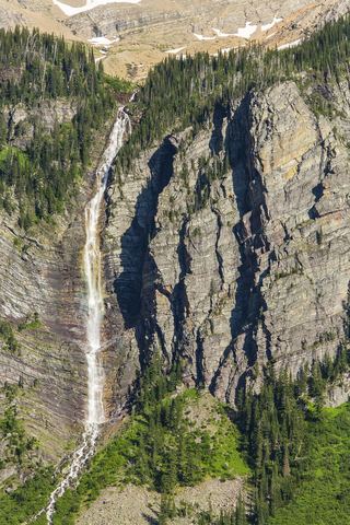 Monument FallsFlathead County, MT2.7 miN
- Siksika FallsGlacier County, MT4.2 miE
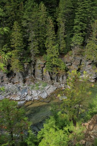 McDonald FallsShort trail route with published distanceFlathead County, MT4.3 miNW
- Florence FallsPublished trail route documentedGlacier County, MT4.8 miNE
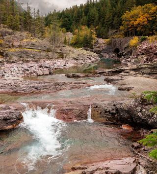 Red Rock FallsShort roadside overlook walk; exact pullout and distance unconfirmedFlathead County, MT6.0 miN
 Oberlin FallsGlacier County, MT6.6 miNE