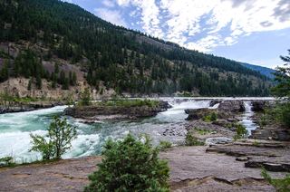
Leigh Creek Falls
Lincoln County, Montana
Your visit at a glance
- Waterfall height
- Not recorded
- Location
- Lincoln County, Montana
- Access status
- Documented Forest Service trail to falls base
- The walk
- About 2.4 miles return
- Ground & access
- Forest trail with a steady climb, becoming rocky near the falls. The section above the falls is a steep scramble with hand holds.
From Libby, drive south on US 2, then Bear Creek Road, Cherry Creek Road 867 and Leigh Creek Road 4786 to the trailhead at the road end. Hike Leigh Lake Trail #132 about 1.2 miles to the base of Leigh Creek Falls, a drop of about 100 feet. Return the same way, or climb about 200 vertical feet of rock beside the falls to continue to Leigh Lake.
Plan your visit
Leigh Lake Trail #132 from the end of Forest Road 4786 to the base of Leigh Creek Falls
Inland NW Routes gives 1.2 miles from the car to the falls; doubled for the return. Leigh Lake is about 0.3 mile farther, above a steep rocky climb.
Forest trail with a steady climb, becoming rocky near the falls. The section above the falls is a steep scramble with hand holds.
Where to start
Trailhead parking at the end of Forest Road 4786, about 2 miles up from Cherry Creek Road. The Western News described room for eight or more vehicles in 2009.
Timing & water
Inland NW Routes says the trail was realigned and repaired after rockfall as of fall 2021. Road restrictions for mine reclamation were reported in 2009; current road status not verified.
Before you go
No fee or booking stated. The trail enters the Cabinet Mountains Wilderness; a registration box is at the trailhead. No camping is allowed at Leigh Lake.
Visitor informationVisit sources
More waterfalls nearby
Within 40 straight-line miles. Road and trail distances will differ.