Kootenai Falls
Lincoln County, Montana
Your visit at a glance
- Waterfall height
- Not recorded
- Location
- Lincoln County, Montana
- Access status
- Source-reviewed route and parking
- The walk
- Walking distance not established
- Ground & access
- Dirt path descending toward the gorge; pedestrian railway bridge and swinging bridge.
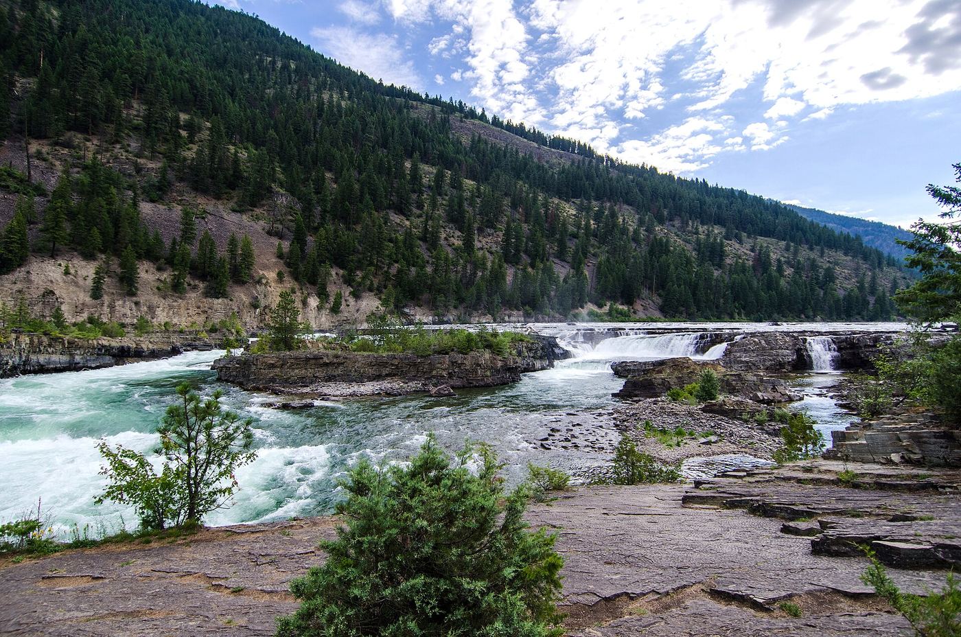
From the highway parking area, follow the dirt trail through the trees and use the enclosed pedestrian bridge over the railway. The local Libby visitor guide describes descending river-view trails and the swinging bridge. Stay on the visitor route and away from railway tracks.
Plan your visit
US Highway 2 picnic area trail toward Kootenai River gorge
Only the stated source distance is supported; mapped proximity is not a walking distance.
Dirt path descending toward the gorge; pedestrian railway bridge and swinging bridge.
Where to start
Highway-side parking and picnic area at US 2 milepost 21 between Libby and Troy. Visit Montana confirms parking and restrooms at the swinging-bridge attraction, six miles east of Troy.
Timing & water
Current access and seasonal conditions require confirmation with the land manager.
Before you go
Unknown: current fees or reservation requirements were not established in the reviewed source.
Visitor informationVisit sources
More waterfalls nearby
Within 40 straight-line miles. Road and trail distances will differ.