Snow Creek Falls
Boundary County, Idaho
Your visit at a glance
- Waterfall height
- Not recorded
- Location
- Boundary County, Idaho
- The walk
- 1.7 miles return
- Ground & access
- Old-growth forest; rocky ground near the upper view.
Forest trail branches to upper and lower viewing platforms.
Plan your visit
Snow Creek Falls upper and lower viewpoints
Visit Idaho gives 1.7 miles out-and-back for both falls.
Old-growth forest; rocky ground near the upper view.
Where to start
Pullout on the left about 1.2 miles along Snow Creek Road #402.
Timing & water
Snow can persist into May or June; confirm road conditions.
Before you go
Fees and reservation requirements are not stated in the cited visitor source; confirm before travel.
Visitor informationMore waterfalls nearby
Within 40 straight-line miles. Road and trail distances will differ.
- Myrtle FallsResearched visit notesBoundary County, ID2.7 miN
- Hunt FallsShort walk on state land road; careful at viewpointsBonner County, ID19 miW
- Yaak FallsResearched visit notesLincoln County, MT25 miE
- Mission FallsPartial guide: undated directions; bridge, junctions and land status not confirmedBonner County, ID28 miSW
- Lower Granite FallsShort trail to a viewpoint at the base of the fallsPend Oreille County, WA30 miW
- Upper Granite FallsPartial guide: forest loop trail passes an upper falls; exact match to this listing not confirmedPend Oreille County, WA30 miW
- LaSota FallsPend Oreille County, WA30 miW
- American FallsOfficial trail to the falls; remote gravel road; steep section near fallsBoundary County, ID32 miNW
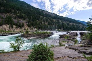 Kootenai FallsSource-reviewed route and parkingLincoln County, MT34 miSE