Rainbow Falls
Cascade County, Montana
Your visit at a glance
- Waterfall height
- 47 ft (14.3 m)
- Location
- Cascade County, Montana
- Access status
- Researched walking route
- The walk
- Viewpoint; distance not stated
- Ground & access
- The map identifies the adjoining River’s Edge Trail as paved; the precise parking-to-viewing surface and slope are not described.
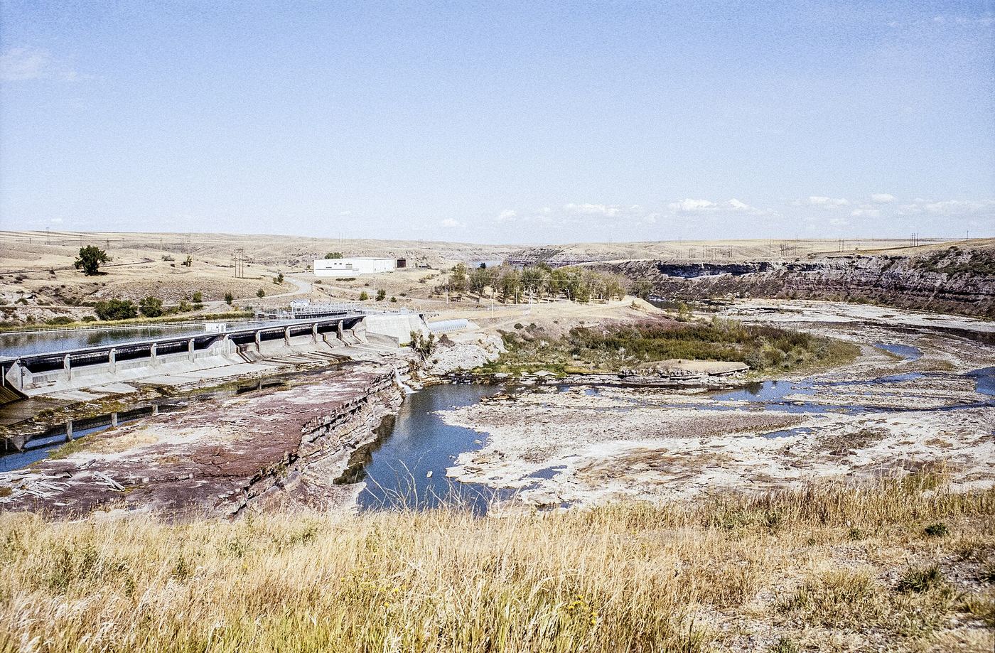
Rainbow Falls is viewed from the Rainbow Dam Overlook. Tourism confirms the viewpoint and maps its parking.
Plan your visit
Use Rainbow Dam Overlook on the south side of the Missouri River. The tourism map marks trail parking at the overlook and the paved River’s Edge Trail through it.
The map’s 1.8 miles is the trail distance from the Lewis and Clark Interpretive Center to Rainbow Overlook, not a distance from the overlook parking.
The map identifies the adjoining River’s Edge Trail as paved; the precise parking-to-viewing surface and slope are not described.
Where to start
Rainbow Dam Overlook trail parking off Giant Springs Road. Tourism gives 6401 Giant Springs Road as an approximate navigation address, not an exact parking coordinate.
Timing & water
Current closures and seasonal operating hours not verified.
Before you go
Fees or reservations not stated in reviewed sources.
Visitor informationMore waterfalls nearby
Within 40 straight-line miles. Road and trail distances will differ.
- Crooked FallsTrail access documented; trailhead and distance unconfirmed19 ft (5.8 m) · Cascade County, MT0.4 miE
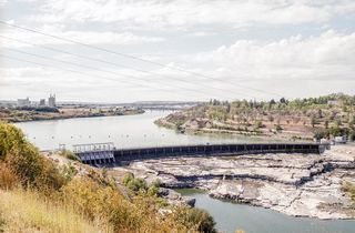 Black Eagle FallsViewing location documented; exact parking and walk unconfirmed26 ft (8.1 m) · Cascade County, MT3.0 miW
- Big FallsPartial guide: the sources call this waterfall The Great Falls; the Big Falls name is unconfirmed89 ft (27 m) · Cascade County, MT4.4 miNE