Crooked Falls
Cascade County, Montana
Your visit at a glance
- Waterfall height
- 19 ft (5.8 m)
- Location
- Cascade County, Montana
- Access status
- Trail access documented; trailhead and distance unconfirmed
- The walk
- Trail walk; start point and distance not confirmed
- Ground & access
- Mixed trail along the river rim. Surface and grade for this section were not confirmed.
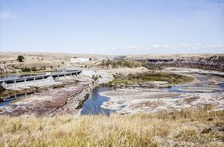
Crooked Falls is a 19-foot natural ledge falls on the Missouri River, about 7 miles upstream of the Great Falls and directly downstream of Rainbow Falls and Rainbow Dam. NPS says it is inaccessible by vehicle. The River's Edge Trail continues past Giant Springs State Park and Rainbow Dam toward the Crooked Falls Overlook. Which trailhead to use and the walking distance were not confirmed.
Plan your visit
Walk or bike the River's Edge Trail beyond Rainbow Dam to the Crooked Falls Overlook
NPS says Crooked Falls cannot be reached by vehicle. Central Montana tourism says the River's Edge Trail runs toward Crooked Falls Overlook. No source gave a trailhead-to-overlook distance, so none is assigned.
Mixed trail along the river rim. Surface and grade for this section were not confirmed.
Where to start
River's Edge Trail access near Giant Springs State Park and the Rainbow Dam overlook on Giant Springs Road. The best trailhead for Crooked Falls was not confirmed.
Timing & water
Current trail conditions not verified.
Before you go
Central Montana tourism notes a user fee at Giant Springs State Park. No fee was stated for the trail itself.
Visitor informationVisit sources
More waterfalls nearby
Within 40 straight-line miles. Road and trail distances will differ.
 Rainbow FallsResearched walking route47 ft (14.3 m) · Cascade County, MT0.4 miW
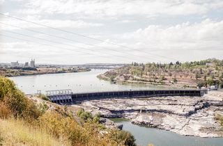 Black Eagle FallsViewing location documented; exact parking and walk unconfirmed26 ft (8.1 m) · Cascade County, MT3.3 miW
- Big FallsPartial guide: the sources call this waterfall The Great Falls; the Big Falls name is unconfirmed89 ft (27 m) · Cascade County, MT4.1 miNE