Twin Falls
Glacier County, Montana
Your visit at a glance
- Waterfall height
- Not recorded
- Location
- Glacier County, Montana
- Access status
- Official NPS trail with 2026 reroute; distance combined from two NPS figures; seasonal access unverified
- The walk
- About 9 miles return, combined from two NPS figures
- Ground & access
- Valley trail with little elevation change (NPS lists 75 feet of gain from the North Shore Trailhead). Stream crossings depend on seasonal bridges.
In 2026 the North Shore Trailhead is not accessible because of construction in Two Medicine Campground. NPS says hikers can reach Twin Falls without a ford by using the South Shore Trail, which adds about a mile each way. Follow the South Shore Trail past Two Medicine Lake to Twin Falls and return the same way. NPS also lists a 0.9-mile one-way walk from the concession boat landing, with tour fees.
Plan your visit
South Shore Trail from the South Shore Trailhead to Twin Falls, Two Medicine (2026 reroute)
Combined from two NPS figures: NPS lists Twin Falls as 3.5 miles one-way from the North Shore Trailhead, and says using the South Shore Trail in 2026 adds about 1 mile one-way. About 4.5 miles each way. The boat option of 0.9 mile one-way depends on the concession boat.
Valley trail with little elevation change (NPS lists 75 feet of gain from the North Shore Trailhead). Stream crossings depend on seasonal bridges.
Where to start
South Shore Trailhead, Two Medicine, Glacier National Park. Exact parking capacity not stated.
Timing & water
Two Medicine Road and trails are seasonal and the 2026 North Shore Trailhead closure applies. NPS says most seasonal bridges are removed by late September. Current road status and boat operation were not verified.
Before you go
NPS says no vehicle reservations are required in any area of the park in 2026. A park entrance pass is required; NPS lists $35 per private vehicle, with a $25 winter rate from November 1 to April 30. The boat option needs a paid tour ticket.
Visitor informationVisit sources
More waterfalls nearby
Within 40 straight-line miles. Road and trail distances will differ.
- Rockwell FallsOfficial trail documentedGlacier County, MT2.0 miSE
- Aster fallsNational park trail; easy; entrance feeGlacier County, MT2.4 miE
- Appistoki FallsOfficial NPS trail; seasonal road access unverifiedGlacier County, MT3.5 miE
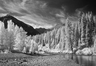 Running Eagle FallsShort accessible trail with published distanceGlacier County, MT3.8 miNE
- Atlantic FallsPublished trail route documentedGlacier County, MT6.8 miN
- Upper Virginia FallsPartial guide: official route reaches Virginia Falls, but the view of the upper tier is not confirmedGlacier County, MT15 miNW
- Lower Virginia FallsPartial guide: official route reaches Virginia Falls, but the view of the lower tier is not confirmedGlacier County, MT15 miNW
- Siksika FallsGlacier County, MT15 miNW
- Saint Mary FallsOfficial NPS trail; seasonal road access unverifiedGlacier County, MT16 miNW