Ipasha Falls
Glacier County, Montana
Your visit at a glance
- Waterfall height
- Not recorded
- Location
- Glacier County, Montana
- Access status
- Lake approach documented; waterfall view unconfirmed
- The walk
- No verified parking-to-waterfall distance
- Ground & access
- Off-trail terrain, thick vegetation and remote mountain travel. The firsthand trip took multiple days from Chief Mountain Trailhead. Do not use generic lake-route mileage as a waterfall distance.
Ipasha Falls is catalogued near Ipasha Lake in Glacier National Park. A firsthand lake visit describes leaving the maintained trail above Mokowanis Lake and pushing through dense alder between Margaret and Ipasha lakes. This documents the remote lake approach, not a confirmed final waterfall view.
Plan your visit
Remote Ipasha Lake approach; final waterfall viewpoint unconfirmed
A 2012 firsthand trip reaches Ipasha Lake via Mokowanis and Margaret lakes. It does not give a measured route to a confirmed Ipasha Falls viewpoint.
Off-trail terrain, thick vegetation and remote mountain travel. The firsthand trip took multiple days from Chief Mountain Trailhead. Do not use generic lake-route mileage as a waterfall distance.
Where to start
The firsthand account names Chief Mountain Trailhead as its starting and return point but does not document current parking arrangements for this trip.
Timing & water
Check current access and conditions before travel; the reviewed source does not establish a reliable visiting season.
Before you go
Fees, permits and reservation requirements for this visit have not been confirmed; check with the land manager.
Visitor informationVisit sources
More waterfalls nearby
Within 40 straight-line miles. Road and trail distances will differ.
- Raven Quiver FallsGlacier County, MT2.2 miNW
- Mokowanis CascadeGlacier County, MT2.5 miNW
- Paiota FallsGlacier County, MT2.5 miNW
- White Quiver FallsGlacier County, MT2.6 miN
- Atsina FallsGlacier County, MT2.6 miNW
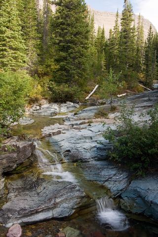 Ptarmigan FallsResearched visit notesGlacier County, MT4.7 miSE
- Dawn Mist FallsLong national park trail to a spur; usually overnightGlacier County, MT5.7 miNE
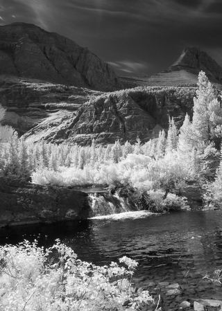 Redrock FallsNational park trail; easyGlacier County, MT5.8 miSE
- Gros Ventre FallsLong backcountry trail route; total distance combined from two sourcesGlacier County, MT6.4 miNE