WaterfallNear Me

Connecticut waterfall visits

Compare 64 Connecticut waterfall visits by the approach, terrain, and where to start. Some routes have closures or unresolved details; read the individual guide before travelling.

64 visit options

Blackledge Falls, CT

Partial guide: parking address and rules not confirmed from the town

Connecticut

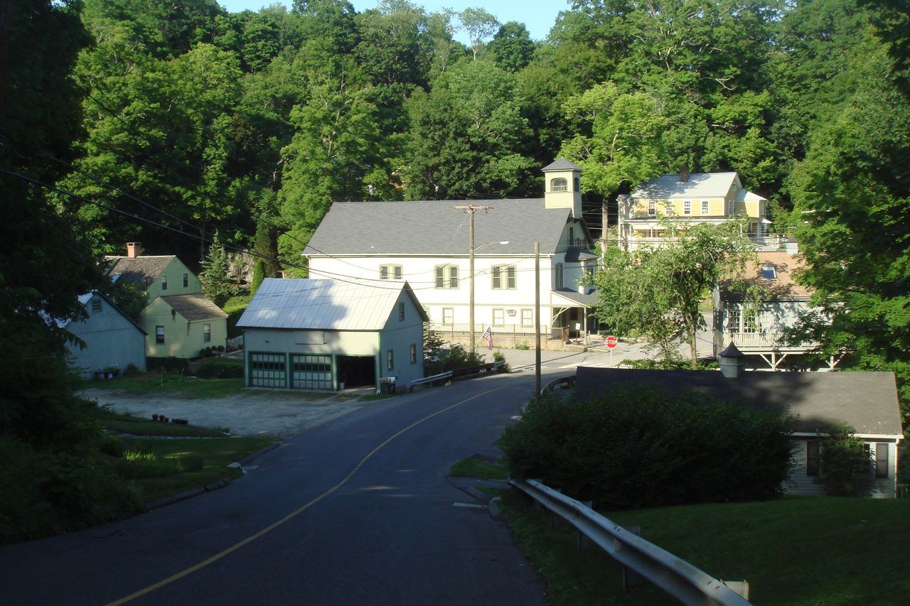
Blackledge Falls

About 1.5-mile loop

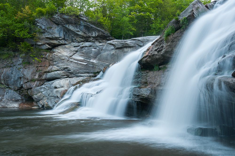
The Outbound describes an 80-acre town park whose main feature is a 25-foot waterfall. From the parking area, follow the blue-and-white trail; the loop joins the blue trail and returns to the blue-and-white trail near the lot. Trails connect onward to Gay City State Park.
Photo creditPhoto: Carole J. Buckwalter, CC BY-SA 4.0, via Wikimedia Commons
Burr Falls, CT

Partial guide: roadside view with unofficial parking and no shoulder

Connecticut

Burr Falls

Roadside; about 0.1 mile from the upper unofficial parking area

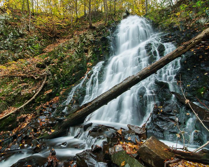
Burr Falls is a 45-foot chain of cascades on Burr Pond Brook beside Burr Mountain Road at the eastern edge of Burr Pond State Park. Park in the small unofficial area about 0.1 mile above the falls without blocking the state park gate, and walk down the road to view the falls.

Photo creditPhoto: John Phelan, CC BY-SA 4.0, via Wikimedia Commons
Cargill Falls, CT

Public river trail and parking documented; distance from a specific lot not stated

Connecticut

Cargill Falls

Short walk on a paved trail; distance from a specific lot not stated

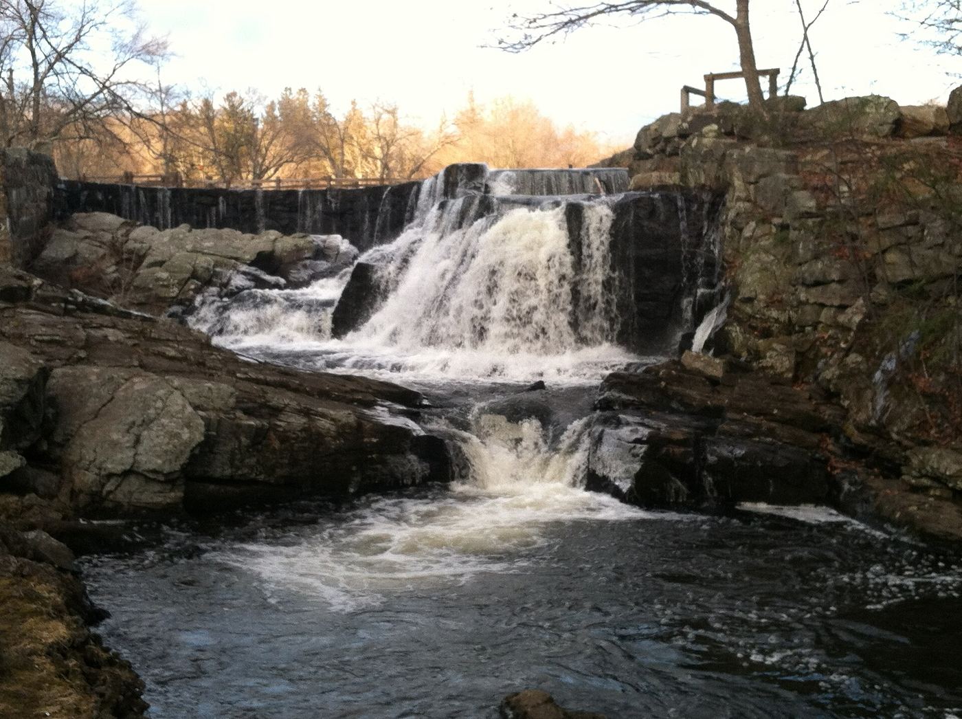
Cargill Falls is a 10-foot dam followed by cascades on the Quinebaug River in downtown Putnam. Park in one of the lots on Kennedy Drive and walk the flat, paved Putnam River Trail along the river to the falls near Route 44 (Pomfret Street). A higher view of the river is from Church Street.

Photo creditPhoto: Magicpiano, CC BY-SA 3.0, via Wikimedia Commons
Case Falls, CT

Firsthand guide gives parking and short approach

Connecticut

Case Falls

Less than 0.1 mile

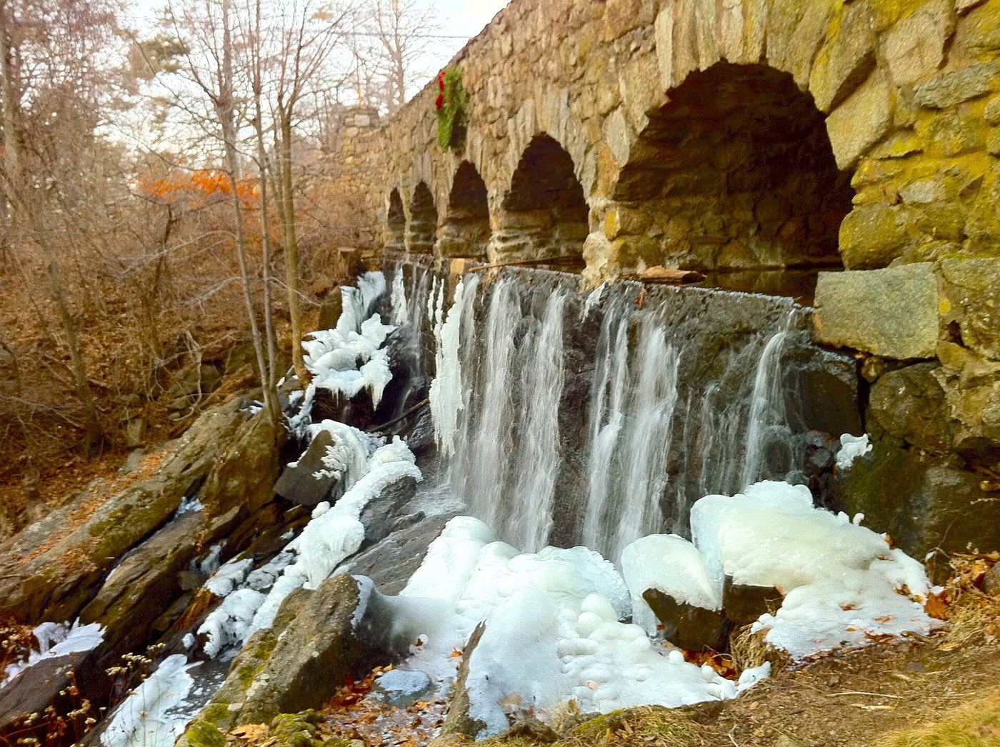
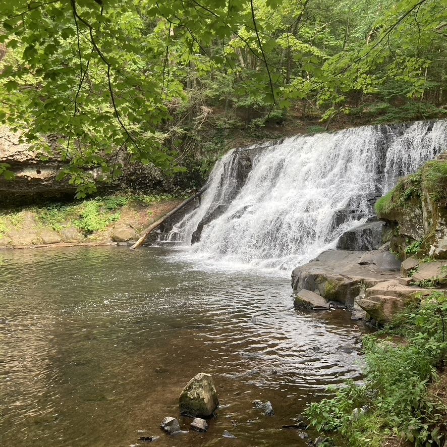
Case Falls is a 25-foot dam and natural cascade with stone-arch bridges in the Case Mountain area of Manchester. New England Waterfalls says the falls are partly visible from the parking area; for a better view, walk a bit further up Spring Street, cross the guardrail and follow the brook to the base.

Photo creditPhoto: Morrowlong, CC BY-SA 4.0, via Wikimedia Commons
Colebrook Falls, CT

Roadside view only; falls on private land; no designated parking

Connecticut

Colebrook Falls

Roadside view; no trail

Colebrook Falls, historically called Rockwell Falls, is a 10-foot set of cascades on Center Brook. The falls are on private property. The only view the source could recommend is from the bridge on CT 183, 0.2 mile north of CT 182A, just past Center Brook Road. A private home has the best view. Do not go down to the brook.

Photo creditPhoto: Magicpiano, CC BY-SA 3.0, via Wikimedia Commons
Enders Falls, CT

Official forest rules plus firsthand route and parking

Connecticut

Enders Falls

About 1 mile total

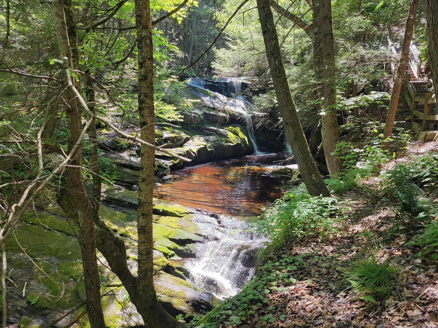
From the parking lot, follow the purple-blazed stone dust trail beside Enders Brook. Stone steps and railings lead down past a series of about five drops, the tallest about 30 feet. Return the same way.

Photo creditPhoto: John Phelan, CC BY 4.0, via Wikimedia Commons
Falls Brook Falls, CT

Published trail documented; upper or lower drop not confirmed; lower drop outside state forest

Connecticut

Falls Brook Falls

Falls Brook Trail is 1.5 miles including the loop; the falls are near the southern end of the loop

The Falls Brook Trail is a short blue-blazed hiking trail in northern Tunxis State Forest. From Route 20, walk about a quarter mile down to where the trail splits into a loop. A 2009 visitor account describes taking the southern side of the loop down toward the reservoir; the falls are beside the trail near the southern tip of the loop, by a sign marked Viewpoint. A rough path goes down the rocks to view the upper falls. A second, taller drop downstream sits just outside the state forest. It is not confirmed which of the two drops this listing is.

Photo creditPhoto: Morrowlong, CC BY-SA 3.0, via Wikimedia Commons
Great Falls, CT

Partial guide: overlook location official; walking distance from parking not published

Connecticut

Great Falls

Short walk; distance not published

FirstLight, which runs the Falls Village hydro station, maintains an overlook of Great Falls in the Upper Falls Village Recreation Area. The Appalachian Trail passes the falls; CTMQ walked down the Appalachian Trail from the road to view them. A short Amesville interpretive loop is above the dam.

Photo creditPhoto: J. G. Coleman, CC BY-SA 4.0, via Wikimedia Commons
Hockanum Falls, CT

Partial guide: view only from mill parking area; current access to the upper falls unverified

Connecticut

Hockanum Falls

Roadside view; no walk

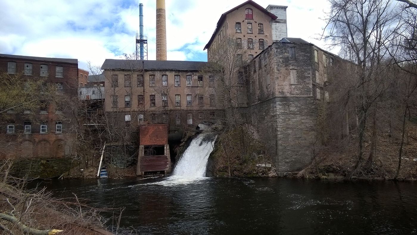
New England Waterfalls says the falls are fully visible from a fenced parking area next to the old Hockanum Mill on East Main Street (CT 74) and that there is nowhere else legal or safe to view them. CTMQ reported in late 2016 that the upper falls were inaccessible during state remediation work at the mill site. Current status of that parking area is unknown.

Photo creditPhoto: Jtvoyager, CC BY-SA 4.0, via Wikimedia Commons
Kent Falls, CT

Official state park trail and fees documented

Connecticut

Kent Falls

0.84 mile out and back on the Steps Trail

From the park lot at 462 Kent Cornwall Road (Route 7), take the paved path through the covered bridge and picnic area to the base of the falls. The stone-stair Steps Trail climbs about 0.25 mile beside the cascades with viewing platforms. Return the same way, or cross the brook to the red-blazed trail.

Photo creditPhoto: Jllm06, CC BY-SA 4.0, via Wikimedia Commons
Mill Pond Falls, CT

Town park viewpoint and parking documented

Connecticut

Mill Pond Falls

Less than 0.1 mile; the falls are visible from the parking area

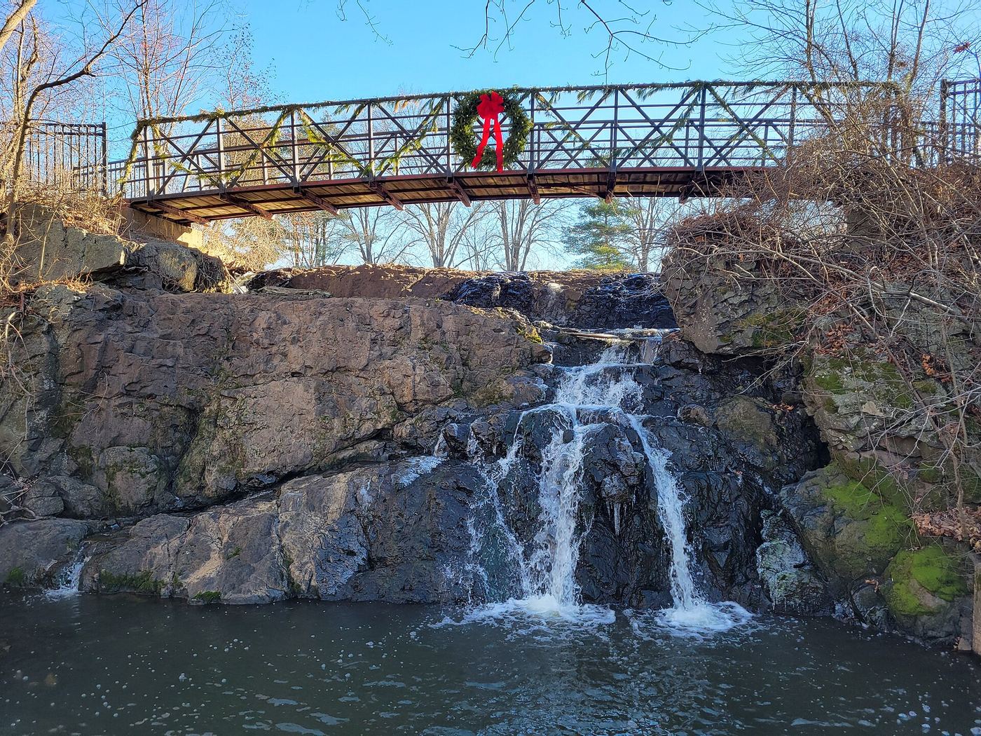
Mill Pond Falls is a 12-foot fan at the outlet of Mill Pond in a small town park in Newington. The falls are fenced, with a red wooden footbridge just above them. You can see the falls from the parking area; walk a few steps closer for the best views.

Photo creditPhoto: John Phelan, CC BY 4.0, via Wikimedia Commons
New Preston Falls, CT

Partial guide: village viewpoint documented; parking not confirmed

Connecticut

New Preston Falls

Roadside view; short walk to the platform

New Preston Falls, also called Aspetuck Falls, is a 20-foot drop on the East Aspetuck River behind the shops of New Preston village in Washington. It is visible from the roadside. A small observation platform with picnic tables off CT 45 gives a closer view, about 20 feet from the base. The falls are partly man-made, below a dam.

Photo creditPhoto: Kcboling, CC BY-SA 3.0, via Wikimedia Commons
Roaring Brook Falls, CT

Town trail and public parking documented; distance to falls not measured

Connecticut

Roaring Brook Falls

Less than 1.3 miles each way; no exact distance to the falls is published

Roaring Brook Falls is an 80-foot set of falls in a deep ravine in Cheshire town open space. From the trailhead kiosk on Roaring Brook Drive, follow the trail past a small pond and an old chimney into the woods, then climb beside the brook. The falls can be heard and then seen from the steep section of trail. The trail continues up to the blue-blazed Quinnipiac Trail. Return the same way.

Photo creditPhoto: Jgcoleman, CC BY-SA 4.0, via Wikimedia Commons
Southford Falls, CT

Official park location and free entry; short walk from the lot documented

Connecticut

Southford Falls

About a 2-minute walk to the falls; optional loop about 1.4 miles

The falls drop from the dam at Paper Mill Pond into Eightmile Brook, in view of the road and the parking lot. Trails follow both sides of the brook down the cascades to a covered pedestrian bridge. An optional loop continues past an old fire tower.

Photo creditPhoto: Jllm06, CC BY-SA 4.0, via Wikimedia Commons
Wadsworth Falls, CT

State park falls with documented parking; fee at this lot not confirmed

Connecticut

Wadsworth Falls

Short walk; distance not given

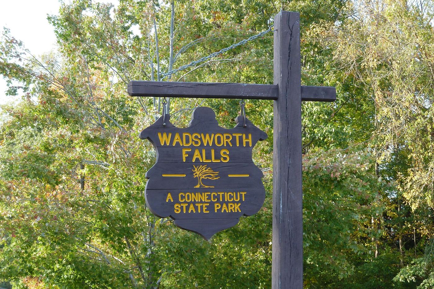
Wadsworth Falls (Big Falls) is a 25-foot drop on the Coginchaug River in Wadsworth Falls State Park. Park in the lot on Cherry Hill Road in Middlefield and walk the short path to the falls. CT DEEP says swimming and picnicking are prohibited at Big Falls; it is for short visits to view the falls. Little Falls is a separate fall on another path and is not covered here.

Photo creditPhoto: PA Uploader, CC0, via Wikimedia Commons
Wadsworth Little Falls, CT

Official park plus firsthand trail route; distance approximate

Connecticut

Wadsworth Little Falls

Half a mile or more, depending on route (not measured)

Start from the main entrance on Route 157 (721 Wadsworth Street) or the Cherry Hill Road parking above the Big Falls. Follow the orange-blazed Main Trail to the blue-blazed Little Falls Trail, which leads to the stepped falls on Wadsworth Brook. Return the same way.

Photo creditPhoto: Jllm06, CC BY-SA 4.0, via Wikimedia Commons
Wintergreen Falls, CT

Partial guide: current parking at the trailhead unverified

Connecticut

Wintergreen Falls

About 150 feet

Wintergreen Falls is a 15-foot cascade on West Brook at the entrance to the West Rock Nature Center, on Hamden town land. Several short paths lead from the parking area down to the brook. View from the top or side; the path to the base is steep, slippery and muddy.

Photo creditPhoto: Ethan Long, CC BY-SA 2.0, via Wikimedia Commons
Yantic Falls, CT

Partial guide: footbridge view documented; walk from parking not confirmed

Connecticut

Yantic Falls

Paved walkway; distance from parking not confirmed

Yantic Falls, also called Indian Leap or Uncas Leap, is a 40-foot drop below a dam on the Yantic River in Norwich. A footbridge on the paved Heritage Riverfront Trail gives a view of the falls and the cove below. The Last Green Valley says the walkway is handicap accessible and tells visitors to park at Howard T. Brown Memorial Park. The walking distance from that park was not confirmed.

Photo creditPhoto: CLK Hatcher, CC BY-SA 2.0, via Wikimedia Commons

Partial guide: parking and trail start official; distance and exact path to this falls not confirmed

Connecticut

Ayer's Gap Falls

Short walk; exact distance unknown

From the traffic light at Routes 32 and 207 in North Franklin, drive east on Route 207 toward Baltic for one mile. Park in the pull-off on the left at the preserve sign, where the trail begins. A blazed trail follows the ridge above Bailey's Ravine; the brook drops over a series of falls in the gorge. CTMQ describes the lower falls as reached by a trail into the woods across the stream.

Location map; no photo available.

Firsthand route and preserve parking documented; walk distance unknown

Connecticut

Ayer's Gap Falls

Short; measured walking distance unknown

CTMQ says that if you park in the preserve lot on Route 207 and only want to see the falls, walk east along the road and then up Ayer Road to the trailhead there. The falls are a short distance into the woods. A longer loop trail circles the ravine. Return the same way.

Location map; no photo available.

Guidebook route and parking documented in Tunxis State Forest

Connecticut

Balance Rock Cascades

About 0.5 mile each way

Walk to the end of Balance Rock Road and continue up the dirt road beyond the gate. In 750 feet, turn left onto the blue-blazed Tunxis Trail; after 300 feet turn left again to stay on it. Cross a tiny stream at about 0.35 mile and reach the main brook 0.1 mile later. Go downstream about 300 feet for the larger cascades, which end just below a hikers' bridge. These are small cascades, with the tallest drop about 8 feet.

Location map; no photo available.

Visitor route and parking documented; short walk

Connecticut

Buttermilk Falls

Short walk; exact distance not stated

Park where the blue-blazed Mattatuck Trail meets Lane Hill Road and follow the trail a short way to Buttermilk Falls; Connecticut Explorer describes a wood-decked bridge over a deep cut leading to the falls. In winter, Lane Hill Road is closed, but the trail is only 500 feet from the closure.

Location map; no photo available.

Partial guide: road-end parking not confirmed by the refuge; last section is a herd path

Connecticut

Carpenter's Falls

About 3/4 mile one way

Broad Hill Road is no longer maintained, so you must walk. Park at the end of Broad Hill Road in West Granby and follow the old wagon road gradually uphill about 3/4 mile. At the bridge at a 90-degree curve, listen for the falls on your left and follow the herd path down along Beach Brook to the falls. Return the same way.

Location map; no photo available.

Published trail route and roadside parking documented

Connecticut

Cascade

About 0.75 miles each way, about 1.5 miles return

This point matches Flat Brook Falls, an 18-foot set of cascades on a tributary of Flat Brook in Glastonbury. Start where the blue-blazed Shenipsit Trail crosses Imperial Drive and hike downstream on the opposite side of the road. After about 0.4 mile cross a seasonal stream, continue 0.1 mile, then turn left onto a white-and-blue blazed trail. The falls are on the right after about 0.1 mile. Return the same way.

Location map; no photo available.

Published trail route documented; landowner not confirmed

Connecticut

Cascades

About 0.4 miles each way, about 0.8 miles return

This point matches Cussgutter Brook Cascades, also called Compounce Cascades, next to Lake Compounce. The brook drops about 80 feet in a series of cascades, none taller than about 12 feet. From the small parking area, climb the blue-blazed trail with the brook on your left. The main falls end where the trail crosses the brook, about 0.4 mile up. Return the same way.

Location map; no photo available.

Partial guide: roadside view only; land ownership unclear

Connecticut

Cascades

Roadside; no walk

New England Waterfalls describes two cascades along Schaghticoke Road. This is the southern one, a 60-foot horsetail about 1.1 road miles north of Bulls Bridge Road. The source says the falls are likely on Schaghticoke Indian Reservation land, so view them from the road.

Location map; no photo available.

Partial guide: route documented; non-resident access not confirmed

Connecticut

Cascades

About 550 feet each way to the upper falls

From the west end of the lower parking area, take the blue-and-white blazed trail beside the community pool fence downstream for 200 feet. Turn left and follow one of several rough paths about 350 feet upstream to the 8-foot upper falls on Roaring Brook. Who may enter is not confirmed: a 2020 town notice limited the preserve to Glastonbury residents and their guests, with non-residents allowed for fishing only in fishing season.

Location map; no photo available.

Researched walking route

Connecticut

Cathles Trail Falls

Waterfall distance unknown

The land trust’s trail page and map connect the cul-de-sac parking area to the waterfall on the white trail.

Location map; no photo available.

Published park path and parking documented

Connecticut

Center Springs Falls

About 0.2 miles each way, about 0.4 miles return

Center Springs Park in downtown Manchester has two small falls on Bigelow Brook: a 12-foot upper falls below a culvert under Main Street and a 10-foot lower falls in a small gorge. From the parking area, go down two flights of concrete stairs and follow the paved path around the head of the gorge to the upper falls, about 750 feet from the car. For the lower falls, continue 150 feet downstream on the paved path on the far side of the brook, then take a rough dirt path to the left toward the gorge.

Location map; no photo available.

Devil's Hopyard State Park; short walk from roadside parking

Connecticut

Chapman Falls

Short walk; measured distance not published

Chapman Falls drops more than 60 feet over rock steps on the Eightmile River in Devil's Hopyard State Park, East Haddam. A visitor account says you can almost park above the falls. The DEEP map marks the falls beside Hopyard Road near Foxtown Road, with parking close by.

Location map; no photo available.

Partial guide: roadside view; legal parking not confirmed

Connecticut

Clark Creek Falls

Roadside view; a few steps from the road shoulder

Clark Creek Falls is a small, unofficially named set of cascades beside CT 82 near the CT 154 junction in Haddam. CTMQ photographed it after a 10 second walk from the Route 82 shoulder. A geocache page describes parking off the road and a short walk with no real trail. Whether parking on the shoulder is allowed was not confirmed.

Location map; no photo available.

State park trail to waterfall documented

Connecticut

Day Pond Brook Falls

About 1 mile one way (derived from map segment labels)

DEEP says a trail cleared in 2010 leads to a series of waterfalls on Day Pond Brook, with the tallest drop about ten feet. The DEEP trail map marks the waterfall at the end of the Blue/Red Day Pond Brook Spur Trail, northwest of the pond. Return the same way.

Location map; no photo available.

Visitor route and parking documented; distance not measured

Connecticut

Dean's Ravine Falls

Short descent; distance not confirmed

Dean's Ravine Falls drops about 50 feet on Reed Brook in Housatonic State Forest, Canaan. A 2016 hiker reached a dirt pull-off on the left about a mile up Music Mountain Road from the railroad tracks near Lime Rock Station Road. A blue-blazed trail heads down from the pull-off, descends gradually, switches back and reaches the falls. The CT DEEP backpacking map shows the blue Mohawk Trail through Dean's Ravine.

Location map; no photo available.

Published short path and parking documented; swimming prohibited

Connecticut

Diana's Pool Falls

Under 0.1 mile each way to both falls

Diana's Pool is a state-owned stretch of the Natchaug River with two small falls: a 3-foot lower falls and a 4-foot upper falls that drops into the large pool. From the parking area, follow the obvious trail about 100 feet to an unmarked junction. Go left about 50 feet for the lower falls, or straight about 150 feet for the upper falls and the pool.

Location map; no photo available.

Short path from trailhead parking documented

Connecticut

Dividend Falls

Less than 0.1 mile one way

The falls are partly visible from the parking area at Dividend Pond Open Space in Rocky Hill. Reach the base by a rock staircase in front of the lot or by a white-blazed dirt path that curves down to the river.

Location map; no photo available.

Visitor route documented; exact waterfall name match probable

Connecticut

Freeman Hill Brook Falls

About 1.4 miles each way, about 2.8 miles return

Sessions Woods Wildlife Management Area has a waterfall of about 15 feet at the far end of its trail system. From the visitor center lot, find the main Beaver Dam Trail, a dirt road. Going right gives more downhill and about 1.4 miles to the falls. A short, steep spur with steps leads down to the falls. Return the same way. The map name Freeman Hill Brook Falls is matched to this waterfall by location; no source uses that exact name.

Location map; no photo available.

Guidebook route and town park parking documented

Connecticut

Grayville Falls

Under 0.1 mile each way

From the parking lot, walk across the field toward the brook, then about 200 feet down into the woods. The falls, an 8-foot waterslide on Raymond Brook, are visible slightly downstream. A rough path also reaches the falls from the Air Line State Park Trail.

Location map; no photo available.

Published trail route and trailhead parking documented

Connecticut

Hatch Brook Falls

Waterfall Hero lists a hike length of 0.4 miles

Hatch Brook Falls is a 25-foot seasonal horsetail in Housatonic Meadows State Park. Take the blue-blazed Pine Knob Loop Trail into the woods, cross Hatch Brook on stepping stones, and go left at the split to climb along the brook. The trail is steep, then levels near large mossy boulders. Look for a path on the left down to the base of the falls. Return the same way.

Location map; no photo available.

Partial guide: guidebook route; land ownership not confirmed; off-trail scramble

Connecticut

Hopp Brook Falls

About 0.15 mile each way, plus a 100-foot scramble

Follow the blue-blazed trail from the parking area; it stays close to the road. In 300 feet you pass the cellar remains of the A.T. Hotchkiss homeplace on the right. About 300 feet further is the 15-foot falls, but reaching the base needs a 100-foot off-trail scramble over loose boulders. Who owns the land is not confirmed; the guidebook says it seems to be conservation land.

Location map; no photo available.

Partial guide: falls and park access official; exact path from parking not described in reviewed sources

Connecticut

Indian Well Falls

Short walk; distance not published

Indian Well Falls is a 15-foot plunge into a circular pool and gorge in Indian Well State Park on the Housatonic River. Look from the trail only. The exact path from the falls trailhead parking is not described in the sources reviewed.

Location map; no photo available.

Published trail route and parking documented; seasonal flow

Connecticut

Intermittent Cascade

About 0.4 miles each way, about 0.8 miles return

This point is the upper falls of the seasonal Gorge Cascade in Sleeping Giant State Park, a 6-foot horsetail in a small gorge. From the parking area, follow the red-circle-blazed Gorge Cascade Trail with the brook on your left. At 0.3 mile the lower falls can be seen only from the rim of the ravine. Keep climbing; the upper falls are on your left, a little farther than you expect. Return the same way.

Location map; no photo available.

Preserve trail route documented

Connecticut

Intermittent Cascade

About 0.75 mile one way

From the preserve parking area, walk 150 feet on an old woods road and bear right at a fork. Follow the blue-and-red blazed trail, fork left at a second fork, and cross a small stream. At the plateau, take the right turn with the blazes. Descend 100 feet below the top of the falls for the best view. Return the same way.

Location map; no photo available.

Parking and informal paths described; exact drop not confirmed; no marked trail

Connecticut

Knife Shop Falls

The drops are spread over about a quarter mile of brook

Knife Shop Falls are a set of drops on Humaston Brook in Humaston Brook State Park, next to the ruins of the Northfield Knife Company. Upper and middle falls are close together; the lower falls are harder to reach, past a large boulder and down into the valley. There are no marked trails around the falls, but a visitor article says the paths are easy to follow. Which drop this listing is has not been confirmed.

Location map; no photo available.

Firsthand guide gives roadside parking and short path

Connecticut

Nineveh Falls

Less than 0.1 mile

From the parking pull-offs, walk east toward the road bridge over the Hammonasset River. A blacktop path turns into wooden stairs down to a pedestrian bridge below the road bridge. The 6-foot falls are about 15 feet upstream of the footbridge, with a concrete dam further upstream.

Location map; no photo available.

Visitor route and trailhead parking documented; unmarked junctions

Connecticut

Nonnewaug Falls

About 1.3 miles in total for the visit

Nonnewaug Falls, also called Leever Falls, is an 18 to 20 foot drop in Woodbury town open space; the parking is in Bethlehem. From the lot at the end of Falls Road, go past the metal gate, cross the bridge, and take the left fork steeply uphill. At the top near the power lines bear right into the woods. At a T-junction turn left past two large oaks, cross the open field to the right, and at the fork with a red post go left downhill to the falls. The routes are not clearly marked.

Location map; no photo available.

Partial notes: waterfall identity documented; property boundary, permitted approach and parking unverified.

Connecticut

Northgate Falls

Unknown

The firsthand guide describes three tiers on a tributary of Bissell Brook. It expresses uncertainty about the conservation-land boundary near a residence.

Location map; no photo available.

Partial guide: a gate blocked the parking area in 2017; current parking unconfirmed

Connecticut

Pine Brook Falls

About 0.3 mile one way

Walk around the metal gate and follow an old dirt road. Small cascades show on the right after 0.2 mile. After 0.25 mile, bear right at a fork and walk 300 feet down to the river at the falls. Return the same way.

Location map; no photo available.

Roadside view and pull-off documented; walk along a busy highway

Connecticut

Pine Swamp Brook Falls

A few hundred feet along US 7

Pine Swamp Brook Falls is a 30-foot pair of drops in a narrow ravine beside US 7 in Sharon. Coming from CT 128 at West Cornwall, turn left onto US 7 south, drive 0.5 mile and pull off on the right just before the Pine Swamp Brook bridge. Walk up the road a few hundred feet to the bridge; the falls are immediately upstream. Fallen trees can block the view.

Location map; no photo available.

Visitor-reported trail route documented

Connecticut

Prydden Brook Falls

About 1.5 miles one way (3 miles return)

CTMQ found these falls while hiking the Zoar Trail in Paugussett State Forest, Newtown. Start at the Great Quarter Road trailhead and follow the Zoar Trail about 1.5 miles. Return the same way.

Location map; no photo available.

Natural area trail route documented

Connecticut

Saugatuck Falls

About 0.8 mile one way

Start between two stone walls, cross a bridge, and turn right on the white-blazed trail across a field. Continue straight where the Hemlock Trail goes left. Follow the river upstream; at about 0.7 mile you reach a large pool. Boulder-hop 200 feet upstream to see the main falls. Return the same way.

Location map; no photo available.

Roadside picnic area view and parking documented

Connecticut

Seven Falls

Under 0.1 mile

Seven Falls is a set of small cascades on Bible Rock Brook, the tallest about 4 feet. All of them are visible from the picnic area in front of the parking lot, and the largest falls are at the end of the picnic area. Some falls can also be seen from the upper parking area along the road.

Location map; no photo available.

Published trail route documented; location match probable; parking rules unconfirmed

Connecticut

Sheep Falls

About 0.2 miles each way, about 0.4 miles return

Sheep Falls is a 3-foot punchbowl on Barretts Brook in the northeast corner of Wilton Town Forest. Walk 30 feet down the private driveway at the end of the Pin Oak Lane cul-de-sac to the Town Forest Park sign on the right. Take the trail 30 feet and fork right on the yellow trail. After 0.1 mile, at the brook and two bridges, turn left on the blue trail downstream. After 300 feet turn right on the orange trail; the falls are about 50 feet on. The published waterfall position is about 560 meters from this listing's location, so the match is not certain.

Location map; no photo available.

Partial guide: view from road bridge only; surrounding land likely private

Connecticut

Shipyard Falls

Roadside; no walk

A 20-foot drop below a dam on Mine Brook, East Hampton, visible from the Shipyard Road bridge about 150 feet downstream. The source says the surrounding land is almost certainly private. Stay on the road.

Location map; no photo available.

Short park path and seasonal parking documented; winter gate

Connecticut

Sperry Falls

About 0.1 to 0.2 miles each way

Sperry Falls is a small drop on the Sargent River in Sperry Park, a Town of Woodbridge park. Drive to the gravel parking lot at 81 Sperry Road and walk directly down the path from the southeastern edge of the lot to the falls. Return the same way. Trails beyond the park are Regional Water Authority land and need an RWA recreation pass.

Location map; no photo available.

Partial guide: which Spruce Brook drop this point marks is unconfirmed; 2024 flood damage

Connecticut

Spruce Brook Falls

About 0.7 mile one way through the gorge

Naugatuck State Forest West Block has Spruce Brook Gorge and two named drops: a 15-foot plunge on Spruce Brook and a 40-foot falls on a tributary. The Blue Trail runs through the gorge and ends by a large waterfall on the White woods road. It is not confirmed which drop this listing is.

Location map; no photo available.

Firsthand land trust loop route and parking documented

Connecticut

Spruce Glen Falls

2.3 mile loop

From the trailhead sign, follow the Charlie Uznanski/Orchard Glen Trail north, cross a brook at 0.2 mile, then continue straight past both Falling Waters Trail junctions to the power lines. Take the Spruce Glen Trail loop; after the bridge over the brook, a left spur leads to the falls view. The trail continues south back to the power lines.

Location map; no photo available.

Published trail route and roadside parking documented; scramble for best views

Connecticut

Stair Brook Falls

About 0.5 miles each way, about 1 mile return

Stair Brook Falls is a 40-foot series of small drops and cascades on Stair Brook in James Valley Preserve. From the roadside parking, follow the blue-blazed Mattabesett Trail up an old dirt road. After 0.4 mile the brook comes into view on the right. A few hundred feet on, turn left to stay on the trail, about 30 feet before the dirt road crosses the brook. The falls are about 200 feet farther upstream. Better views need a scramble across the brook to the south side.

Location map; no photo available.

Partial guide: trailhead and trail described; distance and upper-trail details not confirmed

Connecticut

Talcott Ravine

Distance not confirmed

Talcott Ravine is a 26-acre Northern Connecticut Land Trust preserve in Vernon. From the large parking area at the Main Street cul-de-sac, the trail is first paved and flat beside Talcottville Pond, then follows the Tankerhoosen River. At a split, the river trail narrows to a ledge between cliff and river; CTMQ turned back there with a child. The upper trail goes over the cliffs and steeply down to the falls, which are an old mill dam near the Ackerly Mill ruins at Dobson Road.

Location map; no photo available.

Partial guide: roadside view only; shoulder parking status unverified; upper falls private

Connecticut

Tartia Falls

Roadside view

Tartia Falls, also called Engel Falls, is a 25-foot series of drops on Safstrom Brook that continue down to the Tartia Road bridge in East Hampton. Part of the falls can be seen while standing at the side of the road. View from the road only.

Location map; no photo available.

Short published route and parking documented

Connecticut

Wepawaug Falls

About 0.1 miles each way from the road

Wepawaug Falls is a small drop of about 4 feet on the Wepawaug River, with a twin cascade just downstream, on Woodbridge Land Trust land beside Alice Newton Street Memorial Park. The nearest trailhead is between 42 and 48 Indian Trail Road, off North Racebrook Road. A short, less clearly marked side path off the blue Naugatuck Trail leads to the falls. For a longer walk, the Blue Trail passes the falls on its way through the park from the Town Hall area.

Location map; no photo available.

Partial guide: informal roadside parking; land ownership unconfirmed

Connecticut

Westfield Falls

About 0.2 mile return

CTMQ describes the falls as right next to the road off Miner Street, about a mile north of the Country Club Road exit, with a trail down to the base. A 2017 visitor account describes an unmarked but easy trail with a steep final drop to the base. Interstate 91 is close by.

Location map; no photo available.

Older waterfall spur conflicts with current off-trail rule

Connecticut

Westledge Trail Cascades

Older guide: 0.25 mile one way

New England Waterfalls identifies these exact cascades beside the pink-blazed Westledge Trail in McLean Game Refuge. Its approach leaves the trail for a rough spur. Current refuge rules prohibit hiking off trail, so that older approach is not presented as authorized access.

Location map; no photo available.

Short land trust path and street parking documented

Connecticut

Wolcott Falls

About 0.1 miles each way

Wolcott Falls is a waterfall over 20 feet tall on Shepard Brook in Hamden. The falls are owned by the Town of Hamden and the Hamden Land Conservation Trust manages the narrow trail corridor to them. Take the path beside the house at 15 Timberwood Trail, just off Shepard Avenue near the Hamden Public Works garage. A short walk along the brook ends at the top of the falls.

Location map; no photo available.

Partial guide: no official trail; steep unmarked descent

Connecticut

Wyllys Falls

Distance not measured; a few minutes each way per visitor account

CTMQ parked on Spring Street near Tam Road and followed an unmarked trail that drops very steeply into the Birch Mountain Brook gorge, then walked up the brook to the falls. CTMQ notes in 2025 that the land trust no longer lists this property as trailed.

Location map; no photo available.

Choose another state All mapped waterfalls in Connecticut