Dean's Ravine Falls
Litchfield County, Connecticut
Your visit at a glance
- Waterfall height
- 49 ft (15 m)
- Location
- Litchfield County, Connecticut
- Access status
- Visitor route and parking documented; distance not measured
- The walk
- Short descent; distance not confirmed
- Ground & access
- Woodland trail descending into a ravine. Swimming not possible or prohibited.
Dean's Ravine Falls drops about 50 feet on Reed Brook in Housatonic State Forest, Canaan. A 2016 hiker reached a dirt pull-off on the left about a mile up Music Mountain Road from the railroad tracks near Lime Rock Station Road. A blue-blazed trail heads down from the pull-off, descends gradually, switches back and reaches the falls. The CT DEEP backpacking map shows the blue Mohawk Trail through Dean's Ravine.
Plan your visit
Music Mountain Road parking area to Dean's Ravine Falls on the blue-blazed Mohawk Trail
The sources reviewed give no reliable walking distance. A firsthand 2016 account says the trail starts at the parking pull-off and descends to the falls.
Woodland trail descending into a ravine. Swimming not possible or prohibited.
Where to start
Dirt pull-off parking on Music Mountain Road. Older directions place a lot at the Music Mountain Road and Cream Hill Road intersection. Capacity not checked.
Timing & water
Best April to November per New England Waterfalls.
Before you go
New England Waterfalls listed it as free as of 2016. No fee found on the CT DEEP map.
Visitor informationVisit sources
More waterfalls nearby
Within 40 straight-line miles. Road and trail distances will differ.
- CascadeLitchfield County, CT0.2 miSE
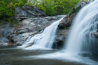 Great FallsPartial guide: overlook location official; walking distance from parking not published49 ft (15 m) · Litchfield County, CT3.3 miNW
- Pine Swamp Brook FallsRoadside view and pull-off documented; walk along a busy highwayLitchfield County, CT3.9 miS
- Pothole FallsLitchfield County, CT4.1 miE
- Hatch Brook FallsPublished trail route and trailhead parking documented30 ft (9 m) · Litchfield County, CT6.2 miS
- Marshepaug FallsLitchfield County, CT8.0 miSE
- Riga Falls26 ft (8 m) · Litchfield County, CT8.3 miNW
- Buttermilk FallsLitchfield County, CT8.9 miNE
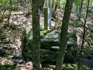 Sages Ravine Brook FallsAppalachian Trail route documented; exact mapped drop not confirmedBerkshire County, MA10.0 miNW