Sages Ravine Brook Falls
Berkshire County, Massachusetts
Your visit at a glance
- Waterfall height
- Not recorded
- Location
- Berkshire County, Massachusetts
- Access status
- Appalachian Trail route documented; exact mapped drop not confirmed
- The walk
- About 1.6 miles one way to the Sages Ravine Brook crossing
- Ground & access
- Woodland trail with about 300 feet of climbing and 100 feet of descent each way per the guidebook author. Wet rock near the brook.
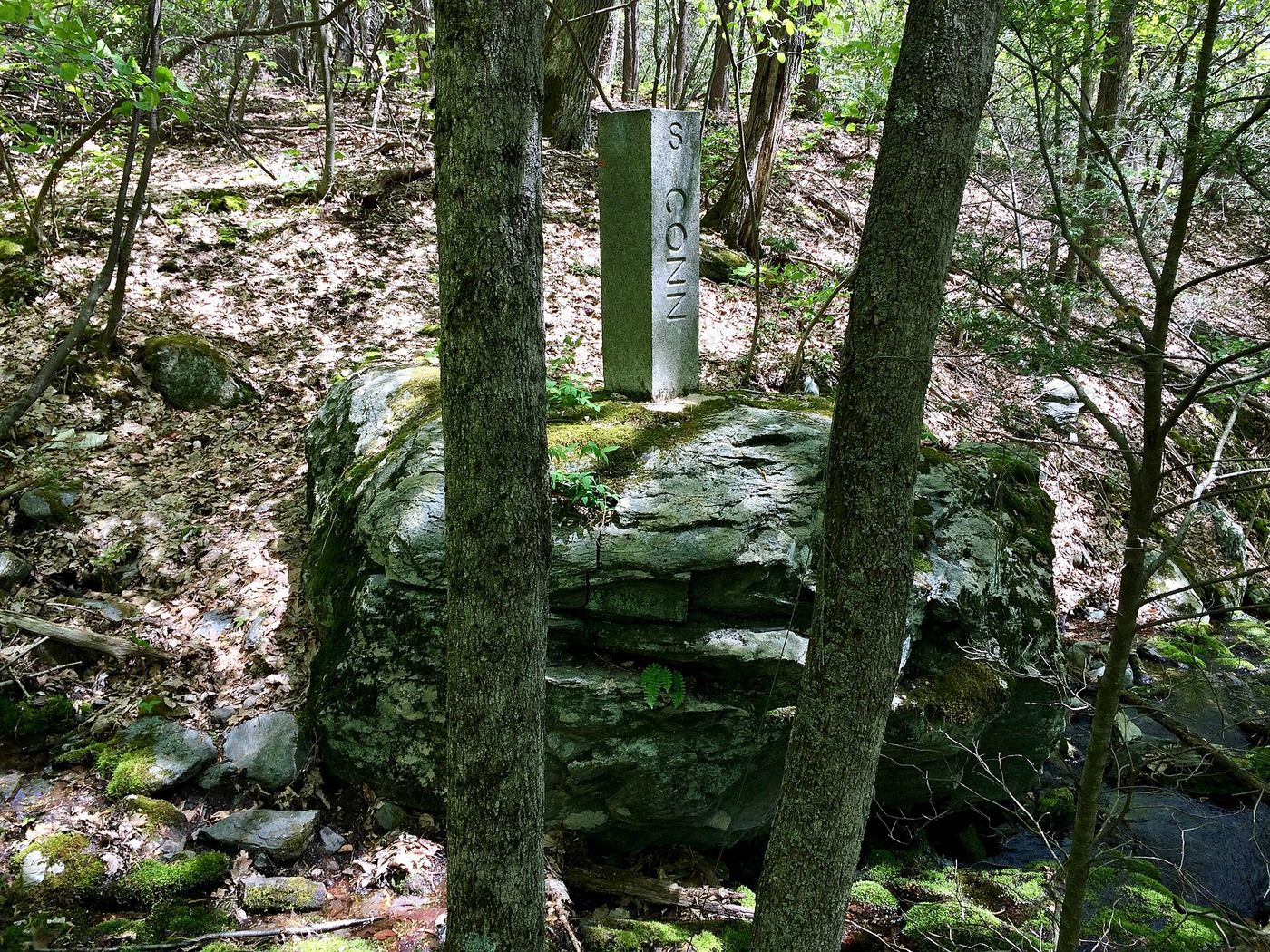
From the small parking area, walk east on the old fire road called Northwest Road toward the AMC Northwest Cabin. Just before the cabin, turn left on an unmarked trail for about 0.7 mile to the Appalachian Trail. Turn left (north) on the white-blazed Appalachian Trail into Sages Ravine. Small falls and cascades line the trail for about half a mile. This falls lies east of the Appalachian Trail section of the ravine, so it may be a lower drop that the trail does not pass directly.
Plan your visit
AMC Northwest Cabin parking on Mount Washington Road to the Appalachian Trail in Sages Ravine
New England Waterfalls gives about 1.6 miles from the parking area to where the Appalachian Trail crosses Sages Ravine Brook. The cascades start before that point. The distance to the exact mapped point is not published.
Woodland trail with about 300 feet of climbing and 100 feet of descent each way per the guidebook author. Wet rock near the brook.
Where to start
Small parking area for about six cars on the left side of Mount Washington Road (East Street), signed AMC Northwest Cabin Parking, 2.8 miles south of the Mount Washington State Forest headquarters. The last miles are dirt road.
Timing & water
The guidebook author recommends May to November. Road access from the north is described as year-round; from the south it is seasonal.
Before you go
The guidebook author listed the visit as free (as of 2016). Current fees not confirmed.
Visitor informationVisit sources
More waterfalls nearby
Within 40 straight-line miles. Road and trail distances will differ.
- Sages Ravine FallsGuidebook route on the Appalachian Trail; exact cascade not confirmedBerkshire County, MA0.8 miW
- Bear Rock FallsTrail hike on the Appalachian Trail; view from top only; short bushwhack299 ft (91 m) · Berkshire County, MA1.0 miNW
- Sages Ravine FallsAppalachian Trail hike to a series of small falls; exact mapped drop not confirmedBerkshire County, MA1.0 miW
- Upper FallsOfficial trailhead and trail documented; exact upper drop not confirmedBerkshire County, MA2.7 miN
- Lower FallsClub-documented trail from a free state trailheadBerkshire County, MA2.7 miN
- Riga Falls26 ft (8 m) · Litchfield County, CT3.4 miSW
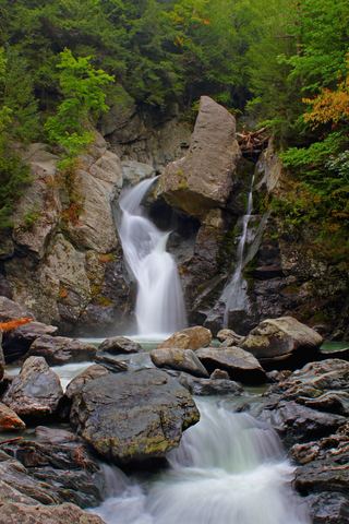 Bash Bish FallsSource-reviewed route and parkingBerkshire County, MA5.7 miNW
 Great FallsPartial guide: overlook location official; walking distance from parking not published49 ft (15 m) · Litchfield County, CT6.7 miSE
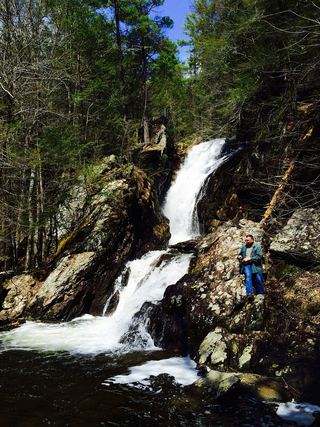 Campbell FallsShort steep state park trail from the Massachusetts lot49 ft (15 m) · Berkshire County, MA9.9 miE