Bash Bish Falls
Berkshire County, Massachusetts
Your visit at a glance
- Waterfall height
- Not recorded
- Location
- Berkshire County, Massachusetts
- Access status
- Source-reviewed route and parking
- The walk
- About 1.5 miles round trip; state map labels the trail 0.76 mile one way.
- Ground & access
- Creekside natural-surface path with a gradual rise; uneven sections.
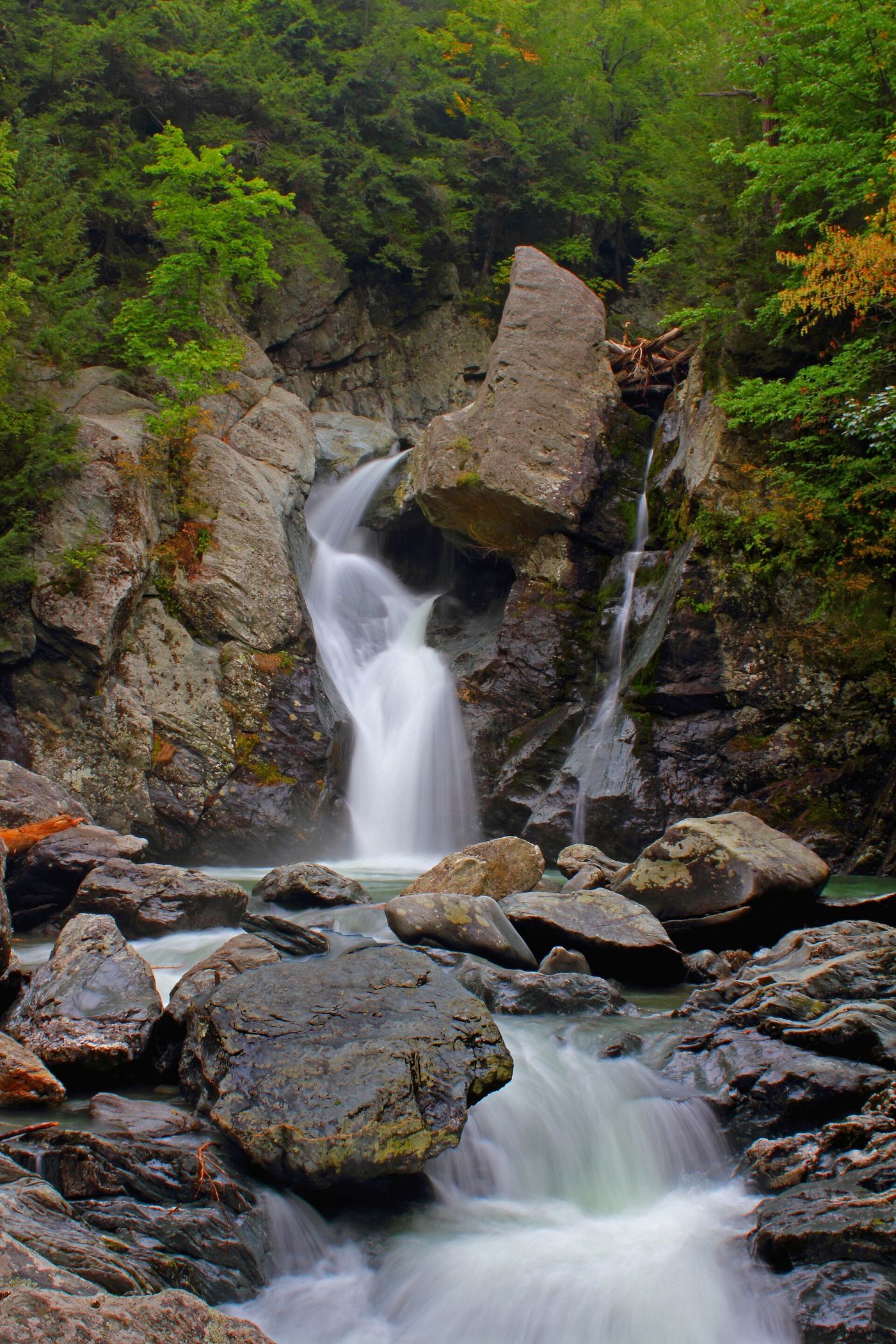
From the New York trailhead, follow the signed blue Bash Bish Falls Trail beside Bash Bish Brook east to the falls viewing area across the Massachusetts line, then return the same way. The state map confirms this route. Stay at the authorized viewing area and observe barriers at the stairs. The April 2026 Massachusetts maintenance advisory scheduled work through July 2, 2026 and explicitly kept the New York approach to the viewing area accessible during that work.
Plan your visit
Bash Bish Falls Trail from the New York lot
Official map 0.76 mile one way agrees with firsthand approximately 1.5-mile round trip. The shorter Massachusetts trail is a different approach.
Creekside natural-surface path with a gradual rise; uneven sections.
Where to start
New York Bash Bish Falls trail lot on NY 344/Falls Road at approximately 42.11711,-73.50776, as identified by the firsthand account. The official map marks parking at the west end of the blue falls trail. This is distinct from the steep Massachusetts approach lot.
Timing & water
Current access and seasonal conditions require confirmation with the land manager.
Before you go
Unknown: current fees or reservation requirements were not established in the reviewed source.
Visitor informationVisit sources
More waterfalls nearby
Within 40 straight-line miles. Road and trail distances will differ.
- Upper FallsOfficial trailhead and trail documented; exact upper drop not confirmedBerkshire County, MA4.0 miSE
- Lower FallsClub-documented trail from a free state trailheadBerkshire County, MA4.1 miSE
- Bear Rock FallsTrail hike on the Appalachian Trail; view from top only; short bushwhack299 ft (91 m) · Berkshire County, MA4.7 miSE
- Sages Ravine FallsAppalachian Trail hike to a series of small falls; exact mapped drop not confirmedBerkshire County, MA5.0 miSE
- Sages Ravine FallsGuidebook route on the Appalachian Trail; exact cascade not confirmedBerkshire County, MA5.1 miSE
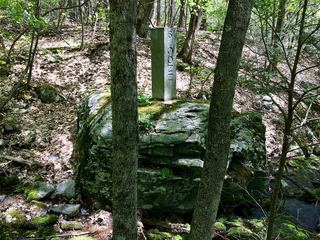 Sages Ravine Brook FallsAppalachian Trail route documented; exact mapped drop not confirmedBerkshire County, MA5.7 miSE
- Riga Falls26 ft (8 m) · Litchfield County, CT7.7 miS
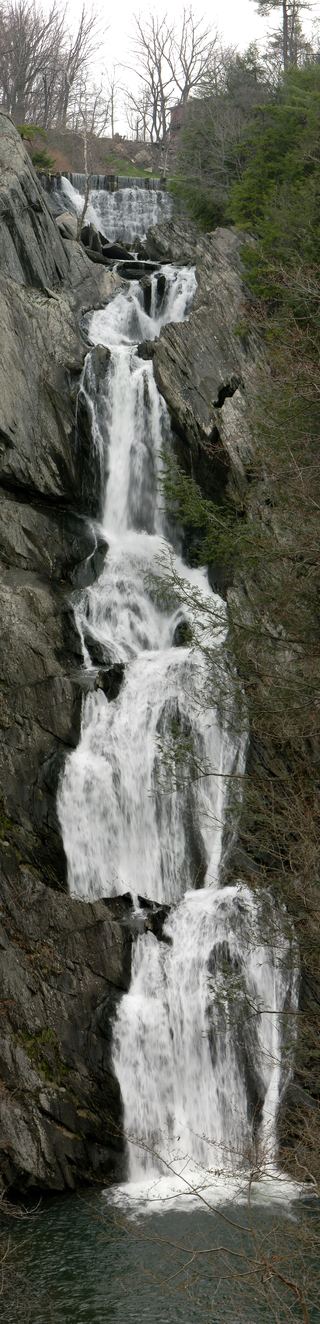 High Falls WaterfallConservation area trail and parking documentedColumbia County, NY12 miNW
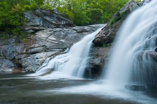 Great FallsPartial guide: overlook location official; walking distance from parking not published49 ft (15 m) · Litchfield County, CT12 miSE