Campbell Falls
Berkshire County, Massachusetts
Your visit at a glance
- Waterfall height
- 49 ft (15 m)
- Location
- Berkshire County, Massachusetts
- Access status
- Short steep state park trail from the Massachusetts lot
- The walk
- About 0.2 mile each way from the Massachusetts lot
- Ground & access
- Short, steep descent with many roots; wet, uneven rocks at the viewing area. No accessible features. Swimming not possible or prohibited (New England Waterfalls).
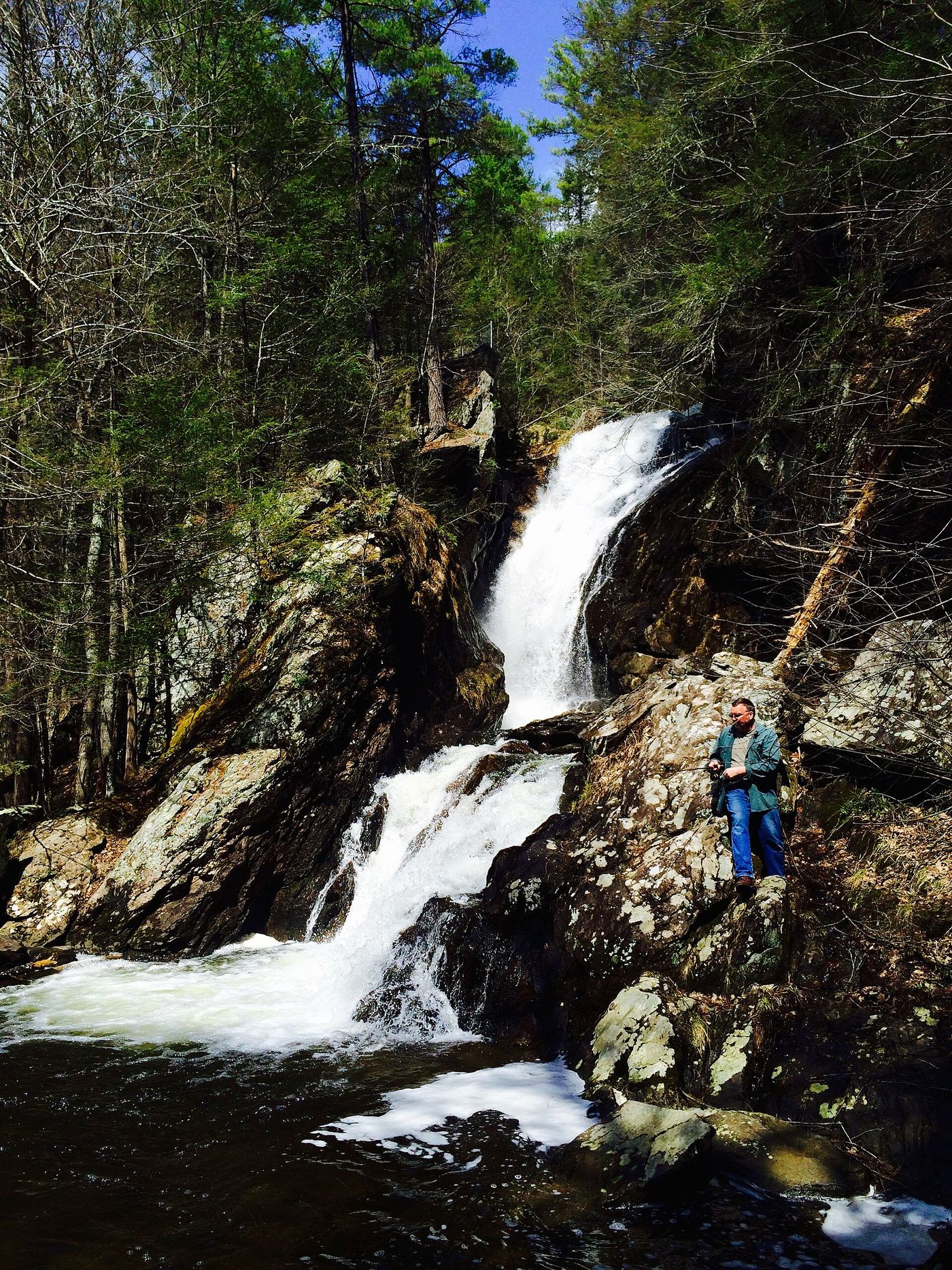
Campbell Falls State Park straddles the Massachusetts and Connecticut line. The Whiting River drops about 50 feet through a zigzag gorge. Berkshires Outside says the falls are best reached from the Massachusetts trailhead on Campbell Falls Road next to the state line, on a short trail that descends steeply over roots to an uneven viewing area. The walk back is uphill.
Plan your visit
Massachusetts parking area on Campbell Falls Road, New Marlborough, down the short trail to Campbell Falls
Berkshires Outside gives 0.2 mile from the Massachusetts lot and 0.5 mile from the Connecticut lot off Spaulding Road.
Short, steep descent with many roots; wet, uneven rocks at the viewing area. No accessible features. Swimming not possible or prohibited (New England Waterfalls).
Where to start
Small dirt lot on the Massachusetts side with room for at least five cars. A medium gravel lot on the Connecticut side off Spaulding Road holds at least six cars.
Timing & water
New England Waterfalls suggests April to November. Flow is strongest after heavy rain.
Before you go
No fee mentioned in the reviewed sources.
Visitor informationMore waterfalls nearby
Within 40 straight-line miles. Road and trail distances will differ.
- Buttermilk FallsLitchfield County, CT3.9 miSE
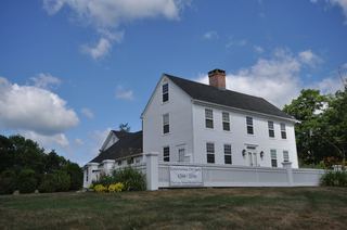 Colebrook FallsRoadside view only; falls on private land; no designated parkingLitchfield County, CT7.9 miSE
- Beulah FallsLitchfield County, CT8.2 miSE
- Pothole FallsLitchfield County, CT8.2 miS
- Marguerite Falls13 ft (4 m) · Berkshire County, MA8.9 miE
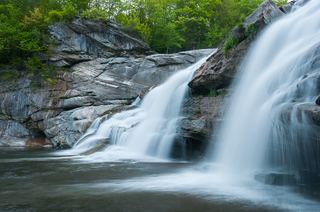 Great FallsPartial guide: overlook location official; walking distance from parking not published49 ft (15 m) · Litchfield County, CT9.2 miSW
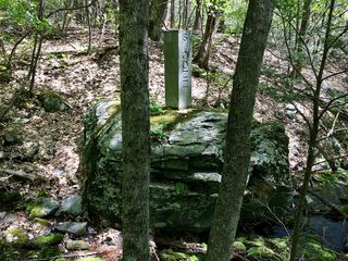 Sages Ravine Brook FallsAppalachian Trail route documented; exact mapped drop not confirmedBerkshire County, MA9.9 miW
- Lower FallsClub-documented trail from a free state trailheadBerkshire County, MA10 miW
- Upper FallsOfficial trailhead and trail documented; exact upper drop not confirmedBerkshire County, MA10 miW