Colebrook Falls
Litchfield County, Connecticut
Your visit at a glance
- Waterfall height
- Not recorded
- Location
- Litchfield County, Connecticut
- Access status
- Roadside view only; falls on private land; no designated parking
- The walk
- Roadside view; no trail
- Ground & access
- Roadside. Watch for traffic on CT 183.
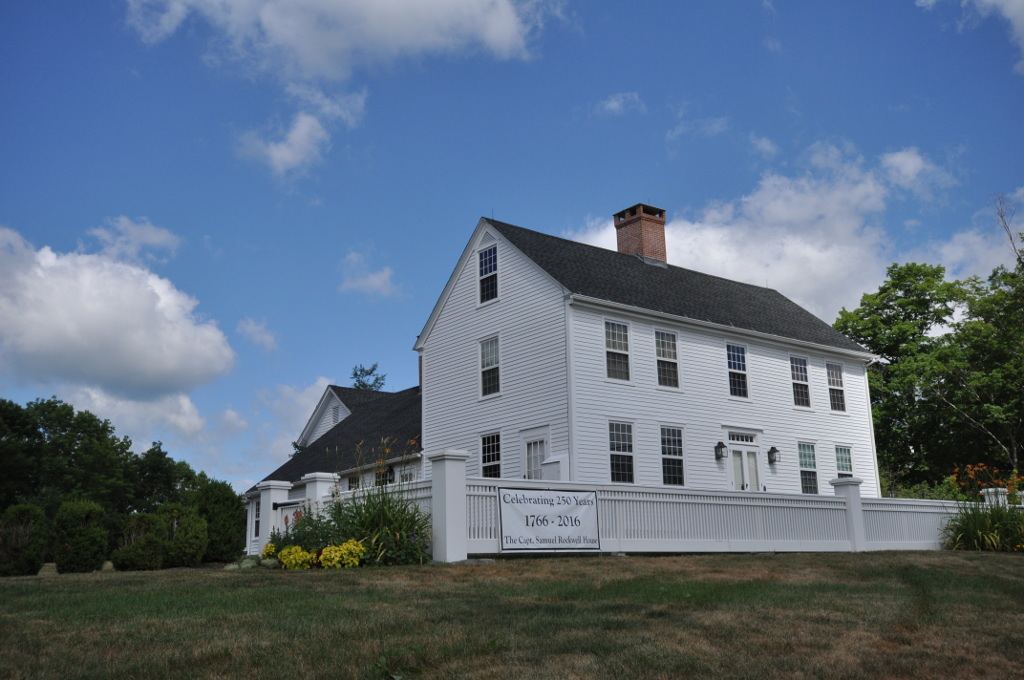
Colebrook Falls, historically called Rockwell Falls, is a 10-foot set of cascades on Center Brook. The falls are on private property. The only view the source could recommend is from the bridge on CT 183, 0.2 mile north of CT 182A, just past Center Brook Road. A private home has the best view. Do not go down to the brook.
Plan your visit
View from the CT 183 bridge over Center Brook
New England Waterfalls lists the falls as roadside. No walking distance applies beyond reaching the bridge from where you park.
Roadside. Watch for traffic on CT 183.
Where to start
There is no designated parking. The source suggests Center Brook Road as probably the best place to park. Parking permission there is not confirmed.
Timing & water
The source recommends April to November.
Before you go
No fee or reservation. The falls are on private land; view only from the public road.
Visitor informationVisit sources
More waterfalls nearby
Within 40 straight-line miles. Road and trail distances will differ.
- Beulah FallsLitchfield County, CT0.7 miNE
- Tunxis FallsLitchfield County, CT3.3 miSE
- Marguerite Falls13 ft (4 m) · Berkshire County, MA4.3 miNE
- Buttermilk FallsLitchfield County, CT5.4 miW
- cascadeHartford County, CT7.4 miE
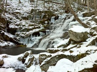 Falls Brook FallsPublished trail documented; upper or lower drop not confirmed; lower drop outside state forestHartford County, CT7.6 miE
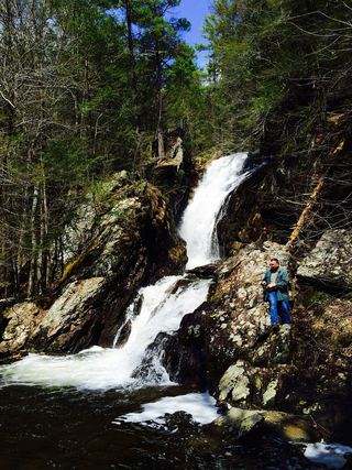 Campbell FallsShort steep state park trail from the Massachusetts lot49 ft (15 m) · Berkshire County, MA7.9 miNW
 Burr FallsPartial guide: roadside view with unofficial parking and no shoulder43 ft (13 m) · Litchfield County, CT8.5 miS
- Balance Rock CascadesGuidebook route and parking documented in Tunxis State ForestHartford County, CT8.9 miE