Balance Rock Cascades
Hartford County, Connecticut
Your visit at a glance
- Waterfall height
- Not recorded
- Location
- Hartford County, Connecticut
- Access status
- Guidebook route and parking documented in Tunxis State Forest
- The walk
- About 0.5 mile each way
- Ground & access
- Easy to moderate woodland trail. Swimming not possible or prohibited per the source.
Walk to the end of Balance Rock Road and continue up the dirt road beyond the gate. In 750 feet, turn left onto the blue-blazed Tunxis Trail; after 300 feet turn left again to stay on it. Cross a tiny stream at about 0.35 mile and reach the main brook 0.1 mile later. Go downstream about 300 feet for the larger cascades, which end just below a hikers' bridge. These are small cascades, with the tallest drop about 8 feet.
Plan your visit
End of Balance Rock Road in East Hartland via the Tunxis Trail to the cascades below the hikers' bridge
New England Waterfalls gives 0.5 mile one-way, about 18 minutes. Not measured here.
Easy to moderate woodland trail. Swimming not possible or prohibited per the source.
Where to start
Roadside on the right side of Balance Rock Road about 100 feet before the cul-de-sac. No parking signs at the cul-de-sac are strictly enforced, per New England Waterfalls.
Timing & water
Best April to June, when snowmelt and rain keep the small brook flowing.
Before you go
New England Waterfalls listed the visit as free as of 2016; current rules not verified with CT DEEP.
Visitor informationVisit sources
More waterfalls nearby
Within 40 straight-line miles. Road and trail distances will differ.
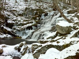 Falls Brook FallsPublished trail documented; upper or lower drop not confirmed; lower drop outside state forestHartford County, CT1.6 miNW
- cascadeHartford County, CT1.9 miNW
- Lost Acres FallsHartford County, CT2.8 miE
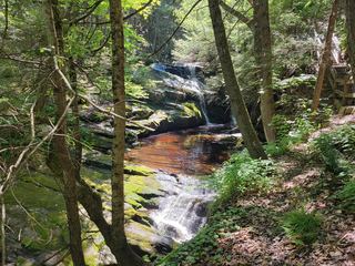 Enders FallsOfficial forest rules plus firsthand route and parkingHartford County, CT4.4 miSE
- Beach Brook FallsHartford County, CT5.2 miSE
- Carpenter's FallsPartial guide: road-end parking not confirmed by the refuge; last section is a herd path16 ft (5 m) · Hartford County, CT5.6 miSE
- WaterfallHampden County, MA6.3 miN
- Tunxis FallsLitchfield County, CT6.7 miSW
- Westledge Trail CascadesOlder waterfall spur conflicts with current off-trail ruleHartford County, CT7.0 miSE