Enders Falls
Hartford County, Connecticut
Your visit at a glance
- Waterfall height
- Not recorded
- Location
- Hartford County, Connecticut
- Access status
- Official forest rules plus firsthand route and parking
- The walk
- About 1 mile total
- Ground & access
- Rocks, steep slopes and cliffs; rocks are extremely slippery when wet. CT DEEP asks visitors to stay on the purple-blazed trail and view the falls from a safe distance. Swimming and wading are not recommended; there have been many injuries here.
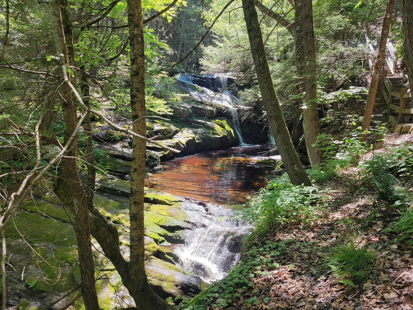
From the parking lot, follow the purple-blazed stone dust trail beside Enders Brook. Stone steps and railings lead down past a series of about five drops, the tallest about 30 feet. Return the same way.
Plan your visit
Route 219 Enders State Forest lot to the falls on the purple-blazed stone dust trail
Kristen Valenti (Early Bird on the Trail) gives about 1.0 mile and 137 feet of gain for the falls walk. Not measured by the agency.
Rocks, steep slopes and cliffs; rocks are extremely slippery when wet. CT DEEP asks visitors to stay on the purple-blazed trail and view the falls from a safe distance. Swimming and wading are not recommended; there have been many injuries here.
Where to start
Large lot on Route 219 (Barkhamsted Road), Granby. From the junction of Routes 20 and 219, follow Route 219 just over 1.3 miles; the entrance is on the left, per the visitor account.
Timing & water
Current trail conditions unknown. Flow is strongest after rain and snowmelt.
Before you go
Fees and reservations are not stated on the reviewed forest page.
Visitor informationVisit sources
More waterfalls nearby
Within 40 straight-line miles. Road and trail distances will differ.
- Beach Brook FallsHartford County, CT0.8 miSE
- Carpenter's FallsPartial guide: road-end parking not confirmed by the refuge; last section is a herd path16 ft (5 m) · Hartford County, CT1.3 miSE
- Westledge Trail CascadesOlder waterfall spur conflicts with current off-trail ruleHartford County, CT2.7 miS
- Northgate FallsPartial notes: waterfall identity documented; property boundary, permitted approach and parking unverified.Hartford County, CT2.8 miSE
- Cathles Trail FallsResearched walking routeHartford County, CT3.8 miS
- Lost Acres FallsHartford County, CT3.9 miN
- Balance Rock CascadesGuidebook route and parking documented in Tunxis State ForestHartford County, CT4.4 miNW
 Falls Brook FallsPublished trail documented; upper or lower drop not confirmed; lower drop outside state forestHartford County, CT5.8 miNW
- cascadeHartford County, CT6.1 miNW