Falls Brook Falls
Hartford County, Connecticut
Your visit at a glance
- Waterfall height
- Not recorded
- Location
- Hartford County, Connecticut
- Access status
- Published trail documented; upper or lower drop not confirmed; lower drop outside state forest
- The walk
- Falls Brook Trail is 1.5 miles including the loop; the falls are near the southern end of the loop
- Ground & access
- Rocky trail along a steep hillside with several brook crossings without bridges. CFPA says spring thaws or heavy rain can make the brook crossing impassable. The path down to the falls is steep and loose.
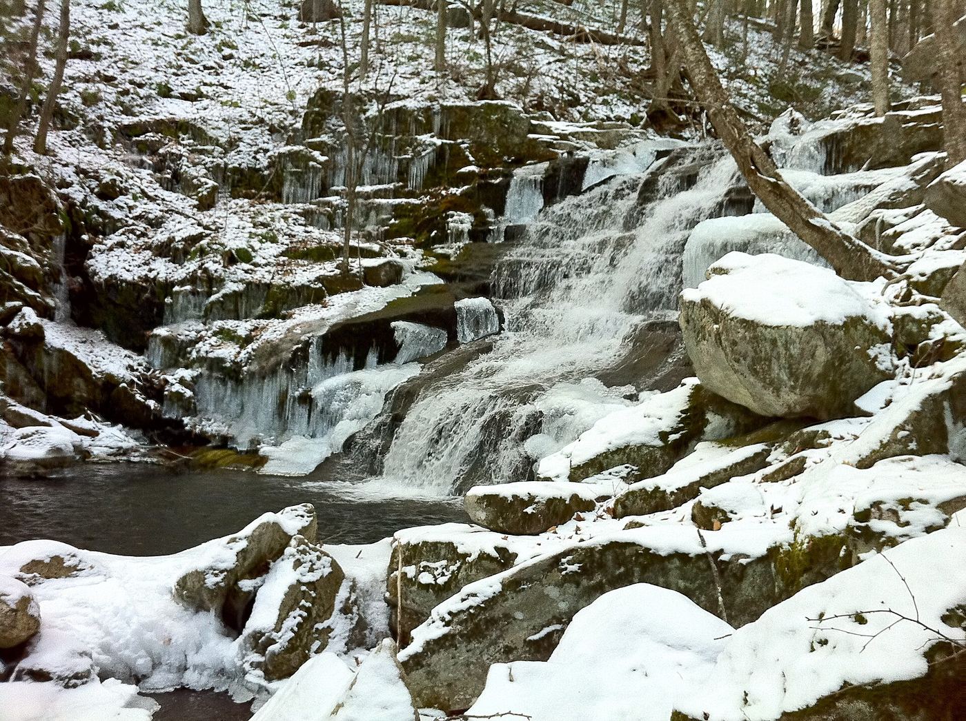
The Falls Brook Trail is a short blue-blazed hiking trail in northern Tunxis State Forest. From Route 20, walk about a quarter mile down to where the trail splits into a loop. A 2009 visitor account describes taking the southern side of the loop down toward the reservoir; the falls are beside the trail near the southern tip of the loop, by a sign marked Viewpoint. A rough path goes down the rocks to view the upper falls. A second, taller drop downstream sits just outside the state forest. It is not confirmed which of the two drops this listing is.
Plan your visit
Route 20 trailhead to Falls Brook Falls on the CFPA Falls Brook Trail
CFPA gives a trail length of 1.5 miles: about a quarter mile to the loop, then a 1.1-mile lollipop loop. CTMQ lists the outing as 1.7 miles. No separate distance to the falls is published.
Rocky trail along a steep hillside with several brook crossings without bridges. CFPA says spring thaws or heavy rain can make the brook crossing impassable. The path down to the falls is steep and loose.
Where to start
Small trailhead on Route 20 (Morrison Hill Road) in Hartland, marked by a blue oval sign. A visitor account says there is no paved pull-off and parking is difficult when snow lines the shoulder.
Timing & water
CFPA warns that the brook crossing can be impassable after spring thaws or heavy rain. The waterfalls can run low in late summer.
Before you go
State forest. No fee or reservation is mentioned. Hunting is allowed in the forest; wear orange in season.
Visitor informationVisit sources
More waterfalls nearby
Within 40 straight-line miles. Road and trail distances will differ.
- cascadeHartford County, CT0.3 miNW
- Balance Rock CascadesGuidebook route and parking documented in Tunxis State ForestHartford County, CT1.6 miSE
- Lost Acres FallsHartford County, CT4.2 miE
- Tunxis FallsLitchfield County, CT5.8 miSW
- Marguerite Falls13 ft (4 m) · Berkshire County, MA5.8 miW
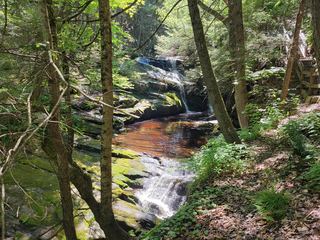 Enders FallsOfficial forest rules plus firsthand route and parkingHartford County, CT5.8 miSE
- WaterfallHampden County, MA5.9 miN
- Beach Brook FallsHartford County, CT6.6 miSE
- Beulah FallsLitchfield County, CT7.0 miW