Hatch Brook Falls
Litchfield County, Connecticut
Your visit at a glance
- Waterfall height
- 30 ft (9 m)
- Location
- Litchfield County, Connecticut
- Access status
- Published trail route and trailhead parking documented
- The walk
- Waterfall Hero lists a hike length of 0.4 miles
- Ground & access
- Steep in places. Stepping-stone brook crossing. The rocks around the falls are very slippery, and fallen trees lie at the base.
Hatch Brook Falls is a 25-foot seasonal horsetail in Housatonic Meadows State Park. Take the blue-blazed Pine Knob Loop Trail into the woods, cross Hatch Brook on stepping stones, and go left at the split to climb along the brook. The trail is steep, then levels near large mossy boulders. Look for a path on the left down to the base of the falls. Return the same way.
Plan your visit
Pine Knob Loop Trail parking on US 7 to Hatch Brook Falls
Waterfall Hero lists the hike length as 0.4 miles and does not say whether that is one way or return. The full Pine Knob Loop is longer and is not needed to see the falls.
Steep in places. Stepping-stone brook crossing. The rocks around the falls are very slippery, and fallen trees lie at the base.
Where to start
Pine Knob Loop Trailhead gravel lot on the west side of US 7, about 1 mile north of the CT 4 junction at Cornwall Bridge. Trailhead GPS 41.83319, -73.38350.
Timing & water
Hatch Brook is seasonal and runs best during snowmelt or after rain.
Before you go
DEEP lists the park as free; fees apply only for camping. Dogs must be on a leash on trails.
Visitor informationVisit sources
More waterfalls nearby
Within 40 straight-line miles. Road and trail distances will differ.
- Pine Swamp Brook FallsRoadside view and pull-off documented; walk along a busy highwayLitchfield County, CT2.3 miN
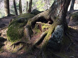 Kent FallsOfficial state park trail and fees documentedLitchfield County, CT4.5 miS
- CascadeLitchfield County, CT6.2 miN
- Dean's Ravine FallsVisitor route and parking documented; distance not measured49 ft (15 m) · Litchfield County, CT6.2 miN
- Marshepaug FallsLitchfield County, CT6.9 miE
 Great FallsPartial guide: overlook location official; walking distance from parking not published49 ft (15 m) · Litchfield County, CT8.8 miN
- Pothole FallsLitchfield County, CT9.0 miNE
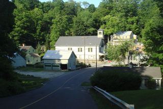 New Preston FallsPartial guide: village viewpoint documented; parking not confirmedLitchfield County, CT11 miS
- CascadesPartial guide: roadside view only; land ownership unclearLitchfield County, CT12 miSW