Spruce Glen Falls
New Haven County, Connecticut
Your visit at a glance
- Waterfall height
- Not recorded
- Location
- New Haven County, Connecticut
- Access status
- Firsthand land trust loop route and parking documented
- The walk
- 2.3 mile loop
- Ground & access
- Well-blazed woodland trail with short climbs. The 13-foot falls are seen from the ravine rim; scrambling to the base is steep and discouraged. Some thorny sections.
From the trailhead sign, follow the Charlie Uznanski/Orchard Glen Trail north, cross a brook at 0.2 mile, then continue straight past both Falling Waters Trail junctions to the power lines. Take the Spruce Glen Trail loop; after the bridge over the brook, a left spur leads to the falls view. The trail continues south back to the power lines.
Plan your visit
Barnes Industrial Park North Road trailhead to the Spruce Glen Falls rim view on Wallingford Land Trust trails
New England Waterfalls gives a 2.3-mile loop and reaches the falls view at about 1.3 miles. CTMQ estimates the shortest return at about 1 mile.
Well-blazed woodland trail with short climbs. The 13-foot falls are seen from the ravine rim; scrambling to the base is steep and discouraged. Some thorny sections.
Where to start
Small paved area at the end of Barnes Industrial Park North Road (also called Barnes Road), Wallingford, with a trail billboard and an Orchard Glen sign. Room for three or four vehicles.
Timing & water
Best April to May per the source; the brook is small. Current conditions unverified.
Before you go
Free as of 2016, per New England Waterfalls.
Visitor informationVisit sources
More waterfalls nearby
Within 40 straight-line miles. Road and trail distances will differ.
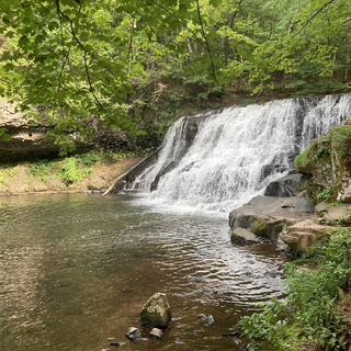 Wadsworth FallsState park falls with documented parking; fee at this lot not confirmed30 ft (9 m) · Middlesex County, CT5.4 miE
 Wadsworth Little FallsOfficial park plus firsthand trail route; distance approximate39 ft (12 m) · Middlesex County, CT5.7 miE
- Stair Brook FallsPublished trail route and roadside parking documented; scramble for best views46 ft (14 m) · New Haven County, CT6.4 miSE
- Intermittent CascadePublished trail route and parking documented; seasonal flowNew Haven County, CT6.5 miSW
- Westfield FallsPartial guide: informal roadside parking; land ownership unconfirmedMiddlesex County, CT6.8 miNE
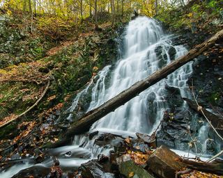 Roaring Brook FallsTown trail and public parking documented; distance to falls not measuredNew Haven County, CT7.8 miW
- CascadeNew Haven County, CT7.9 miW
- Intermittent CascadePreserve trail route documentedHartford County, CT9.4 miN
- Wolcott FallsShort land trust path and street parking documented23 ft (7 m) · New Haven County, CT9.5 miSW