Cascades
Hartford County, Connecticut
Your visit at a glance
- Waterfall height
- Not recorded
- Location
- Hartford County, Connecticut
- Access status
- Partial guide: route documented; non-resident access not confirmed
- The walk
- About 550 feet each way to the upper falls
- Ground & access
- Short trail and rough paths, down about 30 feet. No swimming at the upper falls.
From the west end of the lower parking area, take the blue-and-white blazed trail beside the community pool fence downstream for 200 feet. Turn left and follow one of several rough paths about 350 feet upstream to the 8-foot upper falls on Roaring Brook. Who may enter is not confirmed: a 2020 town notice limited the preserve to Glastonbury residents and their guests, with non-residents allowed for fishing only in fishing season.
Plan your visit
Cotton Hollow Preserve parking on Hopewell Road to the upper falls of Cotton Hollow Cascades
New England Waterfalls gives the upper falls as less than 0.1 mile from the trailhead: 200 feet downstream on the trail, then 350 feet upstream on rough paths. Not measured here. The lower falls are a separate 0.3 mile one-way walk.
Short trail and rough paths, down about 30 feet. No swimming at the upper falls.
Where to start
Parking areas for Cotton Hollow Preserve and the community pool on Hopewell Road. A 2020 town notice required a parking pass for the lot next to the entrance, sold to residents. Current rules not confirmed.
Timing & water
Preserve open sunrise to sunset per the 2020 notice. Brook flow best in spring and after rain.
Before you go
2020 town notice: resident parking pass $5 per vehicle for the lot next to the entrance, proof of residency required. Current non-resident rules not confirmed.
Visitor informationVisit sources
More waterfalls nearby
Within 40 straight-line miles. Road and trail distances will differ.
- Dividend FallsShort path from trailhead parking documentedHartford County, CT2.9 miSW
- Carr Brook FallsMiddlesex County, CT4.5 miS
- The CascadeMiddlesex County, CT4.8 miSE
- CascadePublished trail route and roadside parking documentedHartford County, CT5.7 miE
- Glen FallsMiddlesex County, CT6.6 miS
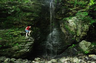 Blackledge FallsPartial guide: parking address and rules not confirmed from the townHartford County, CT6.9 miE
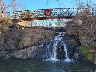 Mill Pond FallsTown park viewpoint and parking documentedHartford County, CT7.9 miW
- Shipyard FallsPartial guide: view from road bridge only; surrounding land likely privateMiddlesex County, CT7.9 miS
- Wyllys FallsPartial guide: no official trail; steep unmarked descentHartford County, CT8.3 miNE