Blackledge Falls
Hartford County, Connecticut
Your visit at a glance
- Waterfall height
- Not recorded
- Location
- Hartford County, Connecticut
- Access status
- Partial guide: parking address and rules not confirmed from the town
- The walk
- About 1.5-mile loop
- Ground & access
- Some steep hills and water crossings. Unmarked side trails cross the loop.
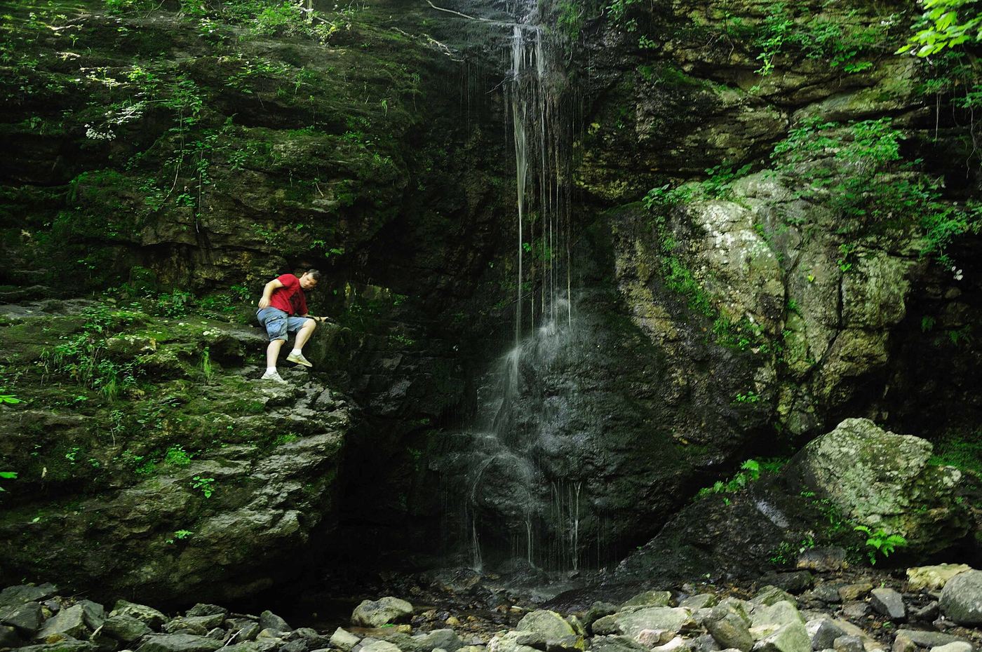
The Outbound describes an 80-acre town park whose main feature is a 25-foot waterfall. From the parking area, follow the blue-and-white trail; the loop joins the blue trail and returns to the blue-and-white trail near the lot. Trails connect onward to Gay City State Park.
Plan your visit
Blackledge Falls Park parking area via the park trail loop to Blackledge Falls
The Outbound gives about 1.5 miles for the full park loop (blue-and-white trail to blue trail). The direct out-and-back to the falls is not measured in the reviewed sources.
Some steep hills and water crossings. Unmarked side trails cross the loop.
Where to start
Park parking area off Hebron Avenue (Route 94). The Town of Glastonbury page could not be opened, so the address and parking rules are not confirmed from an official source.
Timing & water
Flow varies from a trickle in dry months to strong after rain or snowmelt; best in spring.
Before you go
No fee or reservation found in the reviewed source.
Visitor informationVisit sources
More waterfalls nearby
Within 40 straight-line miles. Road and trail distances will differ.
- CascadePublished trail route and roadside parking documentedHartford County, CT1.5 miSW
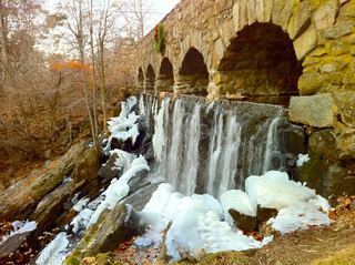 Case FallsFirsthand guide gives parking and short approachHartford County, CT4.5 miN
- Wyllys FallsPartial guide: no official trail; steep unmarked descentHartford County, CT4.6 miN
- Center Springs FallsPublished park path and parking documentedHartford County, CT6.3 miNW
- CascadesPartial guide: route documented; non-resident access not confirmedHartford County, CT6.9 miW
- Grayville FallsGuidebook route and town park parking documentedNew London County, CT7.6 miSE
- The CascadeMiddlesex County, CT8.0 miSW
- Talcott RavinePartial guide: trailhead and trail described; distance and upper-trail details not confirmedTolland County, CT8.6 miN
- Day Pond Brook FallsState park trail to waterfall documentedNew London County, CT9.6 miS