Talcott Ravine
Tolland County, Connecticut
Your visit at a glance
- Waterfall height
- Not recorded
- Location
- Tolland County, Connecticut
- Access status
- Partial guide: trailhead and trail described; distance and upper-trail details not confirmed
- The walk
- Distance not confirmed
- Ground & access
- Flat path, then a narrow ledge or a steep up-and-down upper trail. Not suited to unsteady walkers.
Talcott Ravine is a 26-acre Northern Connecticut Land Trust preserve in Vernon. From the large parking area at the Main Street cul-de-sac, the trail is first paved and flat beside Talcottville Pond, then follows the Tankerhoosen River. At a split, the river trail narrows to a ledge between cliff and river; CTMQ turned back there with a child. The upper trail goes over the cliffs and steeply down to the falls, which are an old mill dam near the Ackerly Mill ruins at Dobson Road.
Plan your visit
Northern Connecticut Land Trust trailhead at the Main Street cul-de-sac in Talcottville, trail along the Tankerhoosen River to the dam falls at Dobson Road
The sources reviewed give no reliable walking distance to the falls. CTMQ describes a loop that returns by road walk and the rail trail.
Flat path, then a narrow ledge or a steep up-and-down upper trail. Not suited to unsteady walkers.
Where to start
Large parking area at the Main Street cul-de-sac off CT 83 in Talcottville. CTMQ does not recommend parking off Dobson Road.
Timing & water
Not confirmed. The falls are on a river and a dam, so they flow most of the year.
Before you go
No fee mentioned. Land trust preserve.
Visitor informationVisit sources
More waterfalls nearby
Within 40 straight-line miles. Road and trail distances will differ.
- Center Springs FallsPublished park path and parking documentedHartford County, CT3.6 miSW
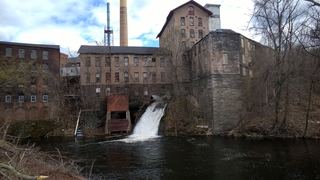 Hockanum FallsPartial guide: view only from mill parking area; current access to the upper falls unverifiedTolland County, CT3.8 miNE
- Wyllys FallsPartial guide: no official trail; steep unmarked descentHartford County, CT4.3 miS
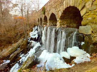 Case FallsFirsthand guide gives parking and short approachHartford County, CT4.3 miS
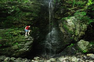 Blackledge FallsPartial guide: parking address and rules not confirmed from the townHartford County, CT8.6 miS
- CascadePublished trail route and roadside parking documentedHartford County, CT9.7 miS
- CascadesTolland County, CT11 miE
- CascadesPartial guide: route documented; non-resident access not confirmedHartford County, CT12 miSW
- CascadeTolland County, CT13 miNE