Waterfalls near Great Barrington, MA
37 named waterfalls within 30 miles of Great Barrington, closest first. Distances are straight-line from the town center.
Visits with route details
Read the walking route, starting point and current access notes.
- Lower FallsClub-documented trail from a free state trailheadBerkshire County, MA
- Upper FallsOfficial trailhead and trail documented; exact upper drop not confirmedBerkshire County, MA
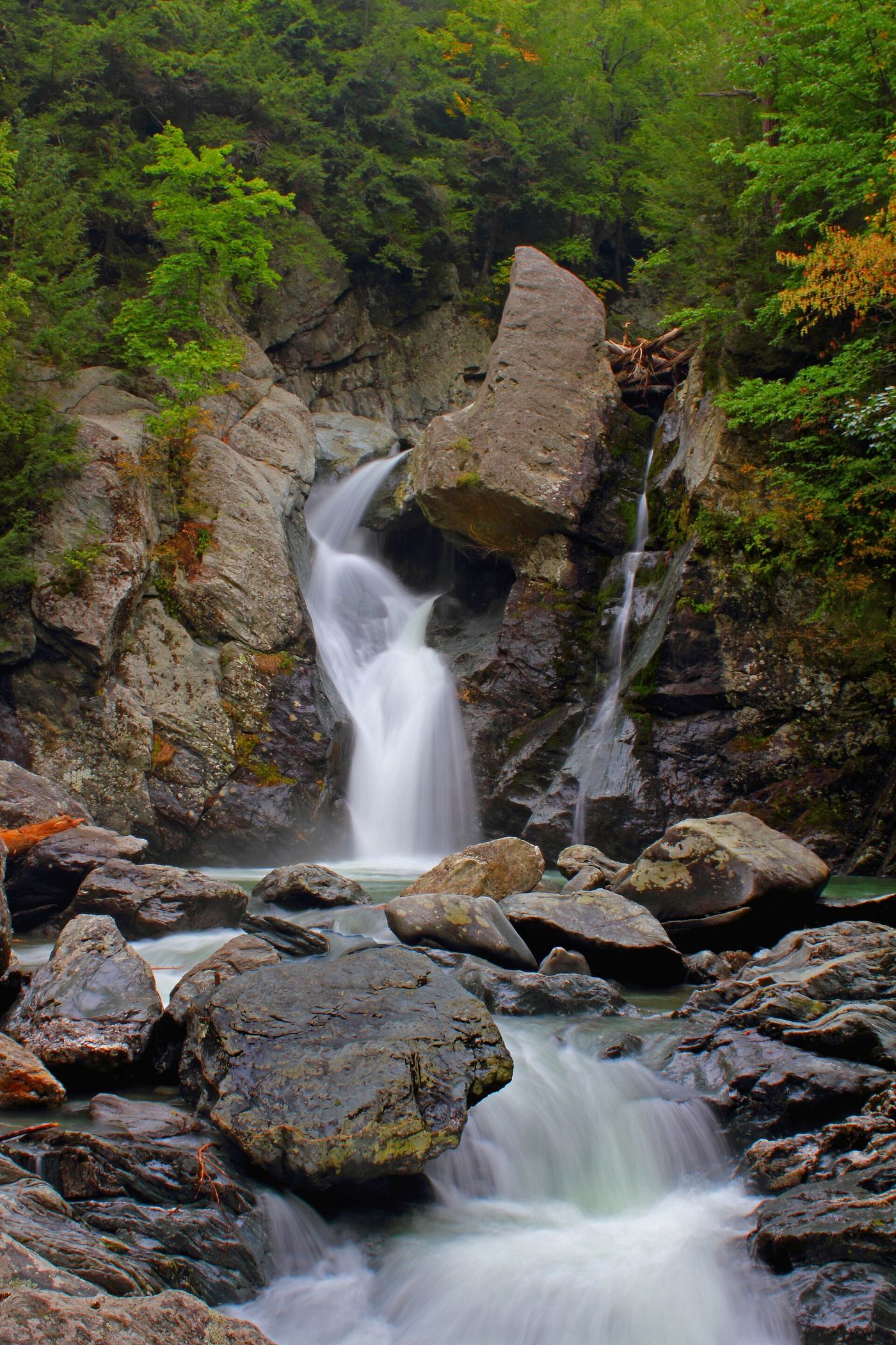
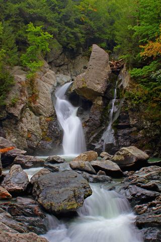 Bash Bish FallsSource-reviewed route and parkingBerkshire County, MA
- Bear Rock FallsTrail hike on the Appalachian Trail; view from top only; short bushwhack299 ft (91 m) · Berkshire County, MA
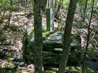 Sages Ravine Brook FallsAppalachian Trail route documented; exact mapped drop not confirmedBerkshire County, MA
- Sages Ravine FallsGuidebook route on the Appalachian Trail; exact cascade not confirmedBerkshire County, MA
- Sages Ravine FallsAppalachian Trail hike to a series of small falls; exact mapped drop not confirmedBerkshire County, MA
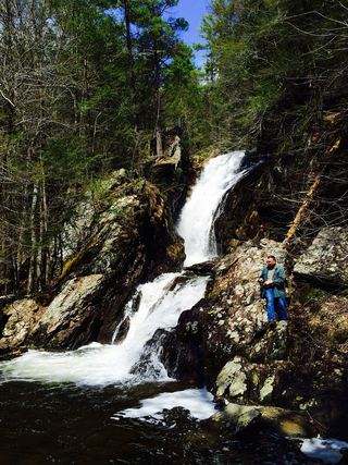 Campbell FallsShort steep state park trail from the Massachusetts lot49 ft (15 m) · Berkshire County, MA
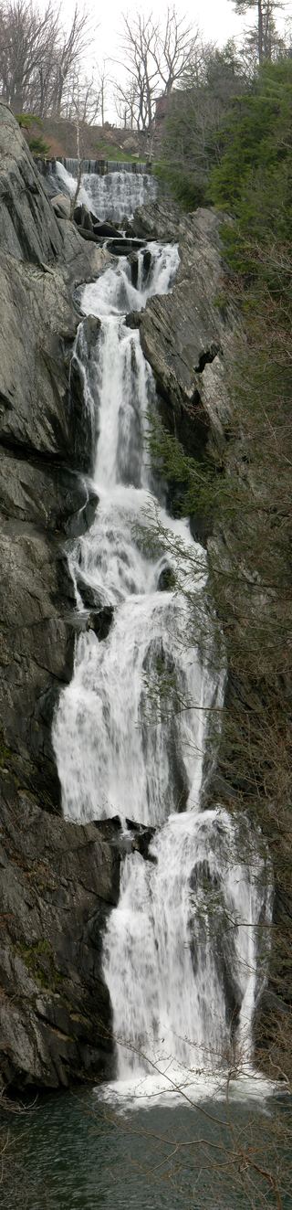 High Falls WaterfallConservation area trail and parking documentedColumbia County, NY
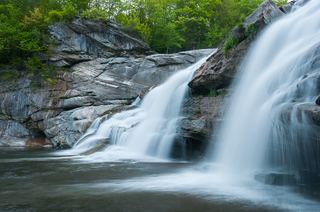 Great FallsPartial guide: overlook location official; walking distance from parking not published49 ft (15 m) · Litchfield County, CT
- Dean's Ravine FallsVisitor route and parking documented; distance not measured49 ft (15 m) · Litchfield County, CT
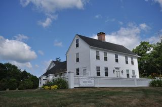 Colebrook FallsRoadside view only; falls on private land; no designated parkingLitchfield County, CT
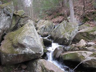 Goldmine Brook FallsShort unsigned path from Route 20; pull-off rules unconfirmedHampden County, MA
- Pine Swamp Brook FallsRoadside view and pull-off documented; walk along a busy highwayLitchfield County, CT
- Glendale FallsOfficial land trust route, hours and parkingHampshire County, MA
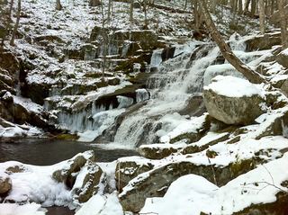 Falls Brook FallsPublished trail documented; upper or lower drop not confirmed; lower drop outside state forestHartford County, CT
- Hatch Brook FallsPublished trail route and trailhead parking documented30 ft (9 m) · Litchfield County, CT
- Balance Rock CascadesGuidebook route and parking documented in Tunxis State ForestHartford County, CT
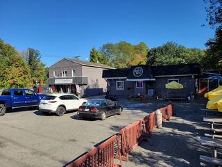 Burr FallsPartial guide: roadside view with unofficial parking and no shoulder43 ft (13 m) · Litchfield County, CT
- Cascade on South BrookVery short path from parking area in a wildlife management area7 ft (2 m) · Berkshire County, MA
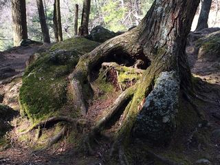 Kent FallsOfficial state park trail and fees documentedLitchfield County, CT
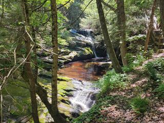 Enders FallsOfficial forest rules plus firsthand route and parkingHartford County, CT
Closest with a photo
All 37 waterfalls
- Lower FallsClub-documented trail from a free state trailheadBerkshire County, MA8.0 miSW
- Upper FallsOfficial trailhead and trail documented; exact upper drop not confirmedBerkshire County, MA8.0 miSW
- Bash Bish FallsSource-reviewed route and parkingBerkshire County, MA8.7 miSW
- Bear Rock FallsTrail hike on the Appalachian Trail; view from top only; short bushwhack299 ft (91 m) · Berkshire County, MA10 miSW
- Sages Ravine Brook FallsAppalachian Trail route documented; exact mapped drop not confirmedBerkshire County, MA11 miS
- Sages Ravine FallsGuidebook route on the Appalachian Trail; exact cascade not confirmedBerkshire County, MA11 miS
- Sages Ravine FallsAppalachian Trail hike to a series of small falls; exact mapped drop not confirmedBerkshire County, MA11 miSW
- Campbell FallsShort steep state park trail from the Massachusetts lot49 ft (15 m) · Berkshire County, MA12 miSE
- falls10 ft (3 m) · Berkshire County, MA13 miNE
- Riga Falls26 ft (8 m) · Litchfield County, CT14 miS
- High Falls WaterfallConservation area trail and parking documentedColumbia County, NY15 miW
- Great FallsPartial guide: overlook location official; walking distance from parking not published49 ft (15 m) · Litchfield County, CT16 miS
- Buttermilk FallsLitchfield County, CT16 miSE
- Buttermilk FallsColumbia County, NY18 miW
- Marguerite Falls13 ft (4 m) · Berkshire County, MA19 miSE
- Pothole FallsLitchfield County, CT19 miS
- Dean's Ravine FallsVisitor route and parking documented; distance not measured49 ft (15 m) · Litchfield County, CT19 miS
- CascadeLitchfield County, CT19 miS
- Colebrook FallsRoadside view only; falls on private land; no designated parkingLitchfield County, CT20 miSE
- Beulah FallsLitchfield County, CT20 miSE
- Goldmine Brook FallsShort unsigned path from Route 20; pull-off rules unconfirmedHampden County, MA23 miE
- Tunxis FallsLitchfield County, CT23 miSE
- Pine Swamp Brook FallsRoadside view and pull-off documented; walk along a busy highwayLitchfield County, CT23 miS
- Glendale FallsOfficial land trust route, hours and parkingHampshire County, MA23 miNE
- cascadeHartford County, CT24 miSE
- WaterfallHampden County, MA24 miE
- Falls Brook FallsPublished trail documented; upper or lower drop not confirmed; lower drop outside state forestHartford County, CT24 miSE
- Hatch Brook FallsPublished trail route and trailhead parking documented30 ft (9 m) · Litchfield County, CT25 miS
- Balance Rock CascadesGuidebook route and parking documented in Tunxis State ForestHartford County, CT26 miSE
- Hoags Corners FallsRensselaer County, NY26 miN
- Marshepaug FallsLitchfield County, CT26 miS
- Burr FallsPartial guide: roadside view with unofficial parking and no shoulder43 ft (13 m) · Litchfield County, CT27 miSE
- Cascade on South BrookVery short path from parking area in a wildlife management area7 ft (2 m) · Berkshire County, MA27 miNE
- Lost Acres FallsHartford County, CT28 miSE
- Kent FallsOfficial state park trail and fees documentedLitchfield County, CT29 miS
- Silver Fox Falls10 ft (3 m) · Berkshire County, MA30 miN
- Enders FallsOfficial forest rules plus firsthand route and parkingHartford County, CT30 miSE