Goldmine Brook Falls
Hampden County, Massachusetts
Your visit at a glance
- Waterfall height
- Not recorded
- Location
- Hampden County, Massachusetts
- Access status
- Short unsigned path from Route 20; pull-off rules unconfirmed
- The walk
- About 0.1 mile
- Ground & access
- Short, steep, rocky and slick path. Busy highway to cross.
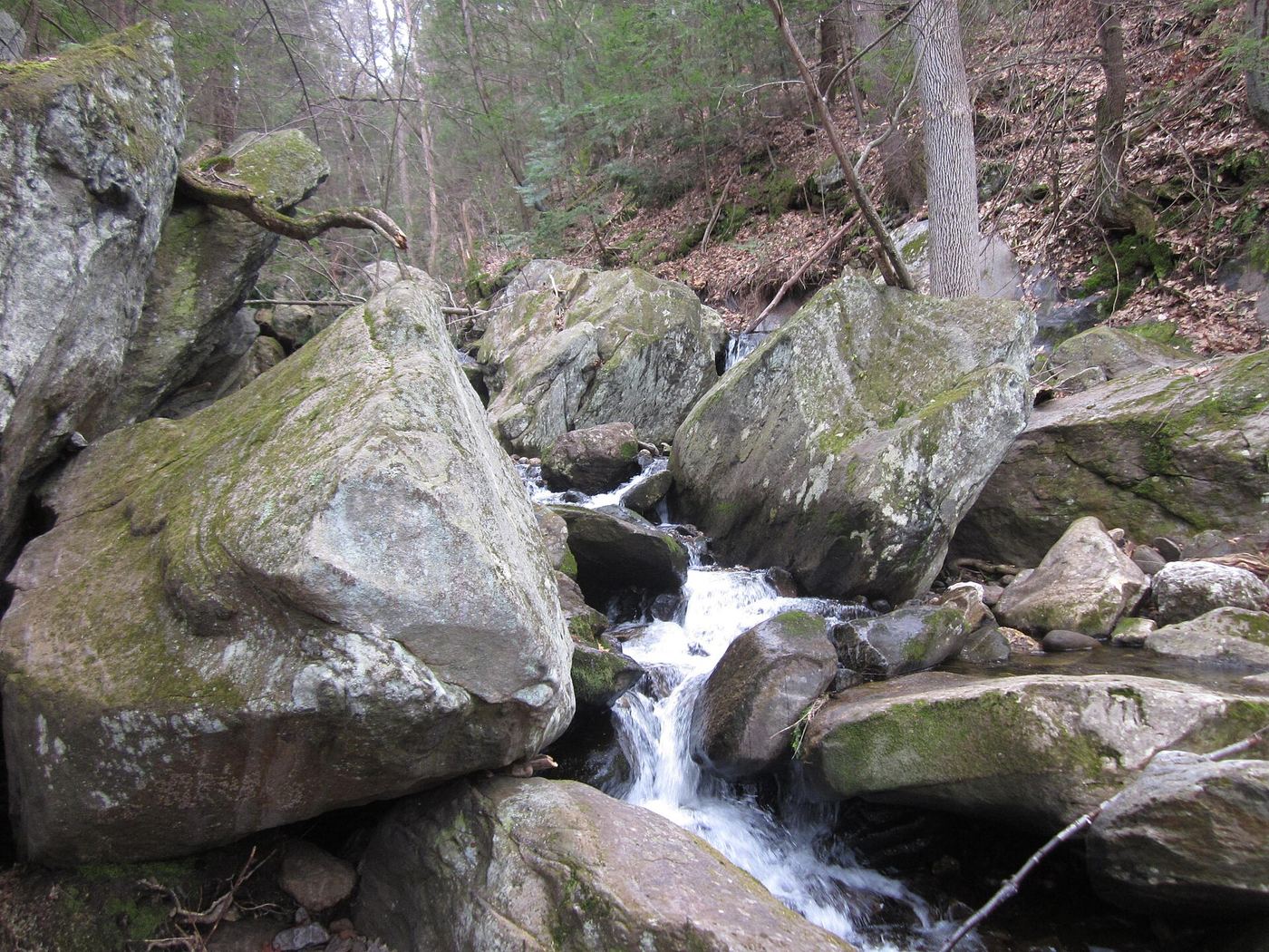
Goldmine Brook Falls is a 45-foot, multi-tiered fall in a small gorge in Chester-Blandford State Forest. Western Mass Hilltown Hikers describe the lower trail along the falls starting from Route 20 at the guardrail, with parking just across the road. The path is not signed. A connecting trail continues past the falls to the old DCR trail and Mica Mine Road.
Plan your visit
Route 20 pull-off by the Chester-Blandford State Forest headquarters, across the road to an unsigned path at the guardrail, up to Goldmine Brook Falls
New England Waterfalls says the falls are just 0.1 mile into the woods off a major state highway.
Short, steep, rocky and slick path. Busy highway to cross.
Where to start
Roadside pull-off across Route 20 from the guardrail start. Exact pull-off ownership and rules were not confirmed.
Timing & water
April to November. Pools are shaded and cold.
Before you go
Free as of 2016 (New England Waterfalls).
Visitor informationVisit sources
More waterfalls nearby
Within 40 straight-line miles. Road and trail distances will differ.
- Glendale FallsOfficial land trust route, hours and parkingHampshire County, MA7.5 miN
- WaterfallHampden County, MA10 miS
- Marguerite Falls13 ft (4 m) · Berkshire County, MA15 miSW
- cascadeHartford County, CT16 miS
- falls10 ft (3 m) · Berkshire County, MA16 miNW
 Falls Brook FallsPublished trail documented; upper or lower drop not confirmed; lower drop outside state forestHartford County, CT16 miS
- Lost Acres FallsHartford County, CT17 miS
- Balance Rock CascadesGuidebook route and parking documented in Tunxis State ForestHartford County, CT17 miS
- Beulah FallsLitchfield County, CT19 miSW