Waterfalls near Kingston, NY
69 named waterfalls within 30 miles of Kingston, closest first. Distances are straight-line from the town center.
Visits with route details
Read the walking route, starting point and current access notes.
- Cantine Dam FallsPartial guide: public parking and a safe pedestrian viewpoint are unknownUlster County, NY
- Schalks FallsPartial guide: roadside bridge view; land beside the falls is posted and parking is not described13 ft (4 m) · Ulster County, NY
- Bridal Veil FallsPartial guide: informal path to an unfenced cliff-edge lookout with many past deaths89 ft (27 m) · Greene County, NY
- Hells Hole FallsRoadside bridge view; private land around the falls39 ft (12 m) · Greene County, NY
- Plattekill FallsShort preserve trail; dangerous drop-off at Hell's Hole75 ft (23 m) · Greene County, NY
- Old Mill FallsPartial guide: view from the footbridge documented; walking distance from the parking area not given13 ft (4 m) · Greene County, NY
- Viola FallsForest Preserve trail past Poet's Ledge; about 3.7 miles one way30 ft (9 m) · Greene County, NY
- Wildcat FallsDEC trail crosses the top of the falls; base access dangerous98 ft (30 m) · Greene County, NY
- Sheldon FallsPartial guide: no designated trail; informal streamside route and a stream crossingUlster County, NY
- Peter's Kill FallsPartial guide: no designated trail; off-trail stream walk and the park advises staying on trailsUlster County, NY
- LG waterfallPartial guide: the trail to the waterfall and its exact location are unknownDutchess County, NY
- Lower Buttermilk FallsPartial guide: bushwhack and creek crossing only safe at low water36 ft (11 m) · Greene County, NY
 Awosting FallsState park preserve carriage road; short walk from the Awosting lot; vehicle feeUlster County, NY
- Bastion FallsPartial: falls location documented; no parking on Route 23A and the walk from the lots is not described33 ft (10 m) · Greene County, NY
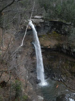 Kaaterskill FallsResearched visit notes148 ft (45 m) · Greene County, NY
- Delmura FallsPartial guide: bushwhack approach; final route to the falls not described in detail13 ft (4 m) · Greene County, NY
- Ashley FallsShort campground trail and parking documented; day use feeGreene County, NY
- Vernooy Kill FallsPartial guide: marked DEC trail to the main falls; the exact drop this listing marks is uncertainUlster County, NY
- Rainbow FallsState park carriage road and footpath; seasonal flowUlster County, NY
- Winter Clove fallsPartial guide: approach crosses inn land; current permission unknown36 ft (11 m) · Greene County, NY
- Stony Kill FallsState park trail with steps and footbridges; parking on Shaft 2A RoadUlster County, NY
- Buttermilk FallsPartial guide: short path, but legal parking at the pull-off is not confirmed under DEC corridor rulesUlster County, NY
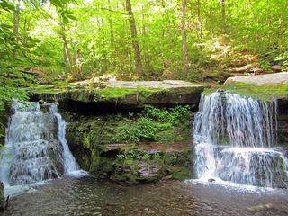 Diamond Notch FallsState wilderness trail; about a mile one way15 ft (4.6 m) · Greene County, NY
- Artist FallsPartial guide: on private resort land; current visitor permission must be asked at the innGreene County, NY
- East Kill FallsPartial guide: trail name and exact falls position not given; final bushwhackGreene County, NY
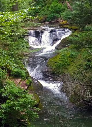 Otter FallsPartial guide: road walk on Route 47 and an unmarked side path; not a marked trailUlster County, NY
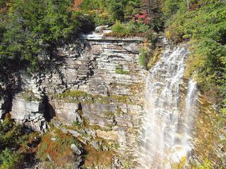 Verkeerderkill FallsLong Path to a landowner-permitted overlook; trail beyond the overlook is closedUlster County, NY
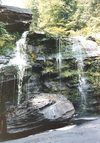 Hanging Rock FallsPartial guide: informal path; land ownership and parking permission not statedUlster County, NY
- Horseshoe Mines FallsShort unmarked path and roadside parking documentedUlster County, NY
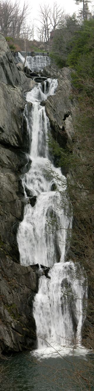 High Falls WaterfallConservation area trail and parking documentedColumbia County, NY
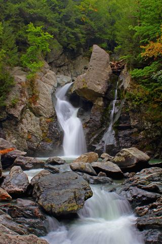 Bash Bish FallsSource-reviewed route and parkingBerkshire County, MA
- Sages Ravine FallsAppalachian Trail hike to a series of small falls; exact mapped drop not confirmedBerkshire County, MA
- Sages Ravine FallsGuidebook route on the Appalachian Trail; exact cascade not confirmedBerkshire County, MA
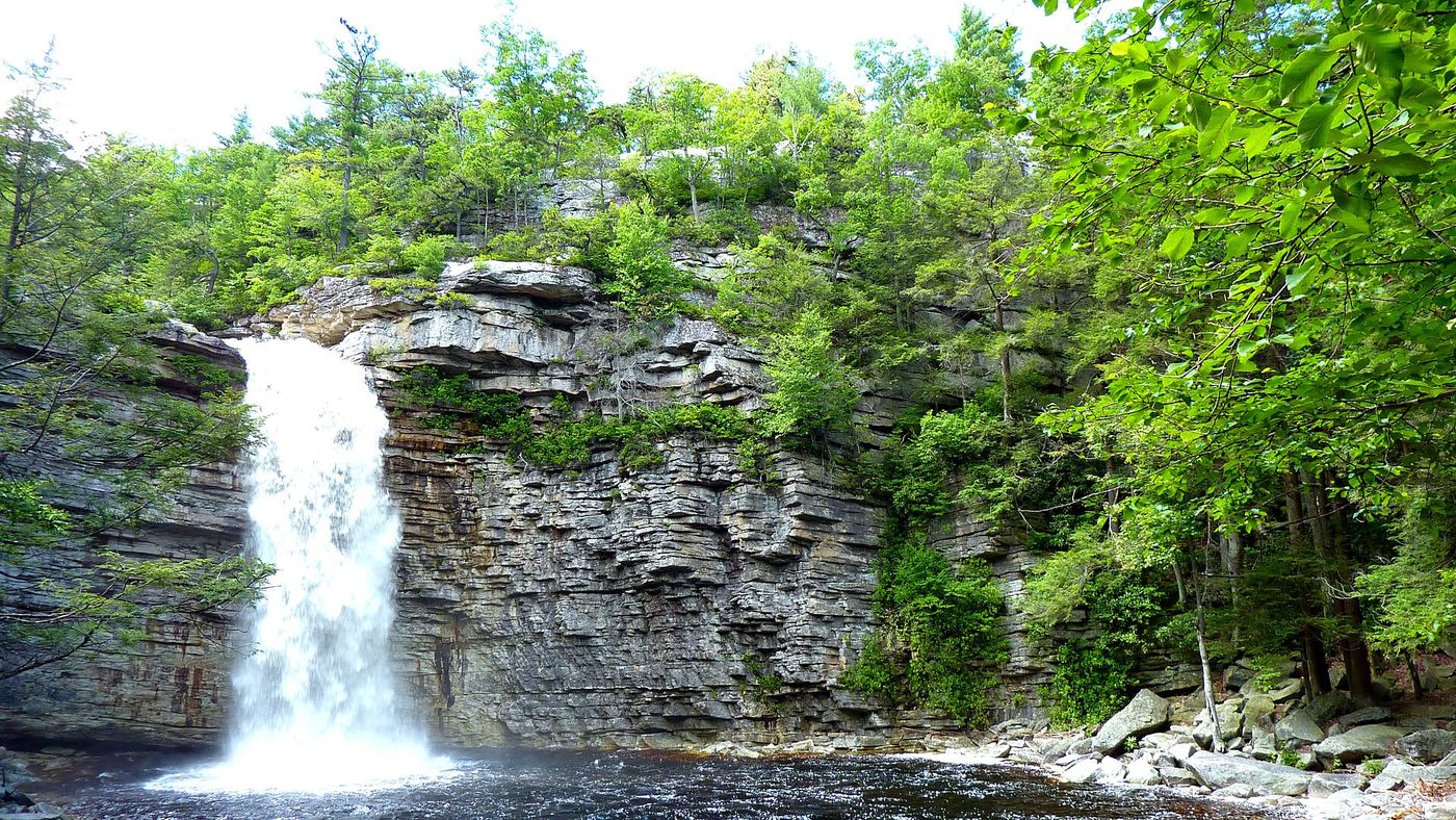
Closest with a photo
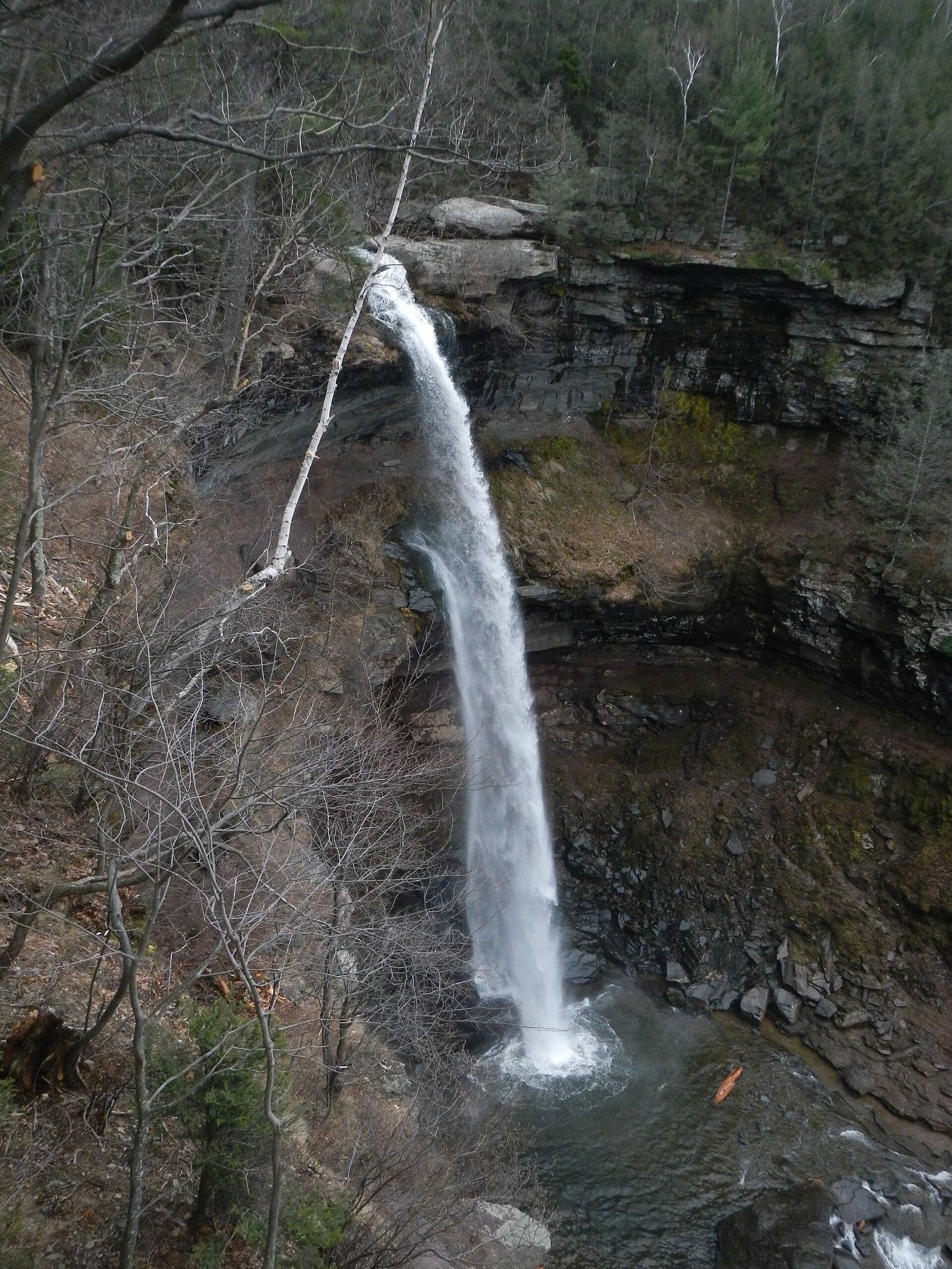
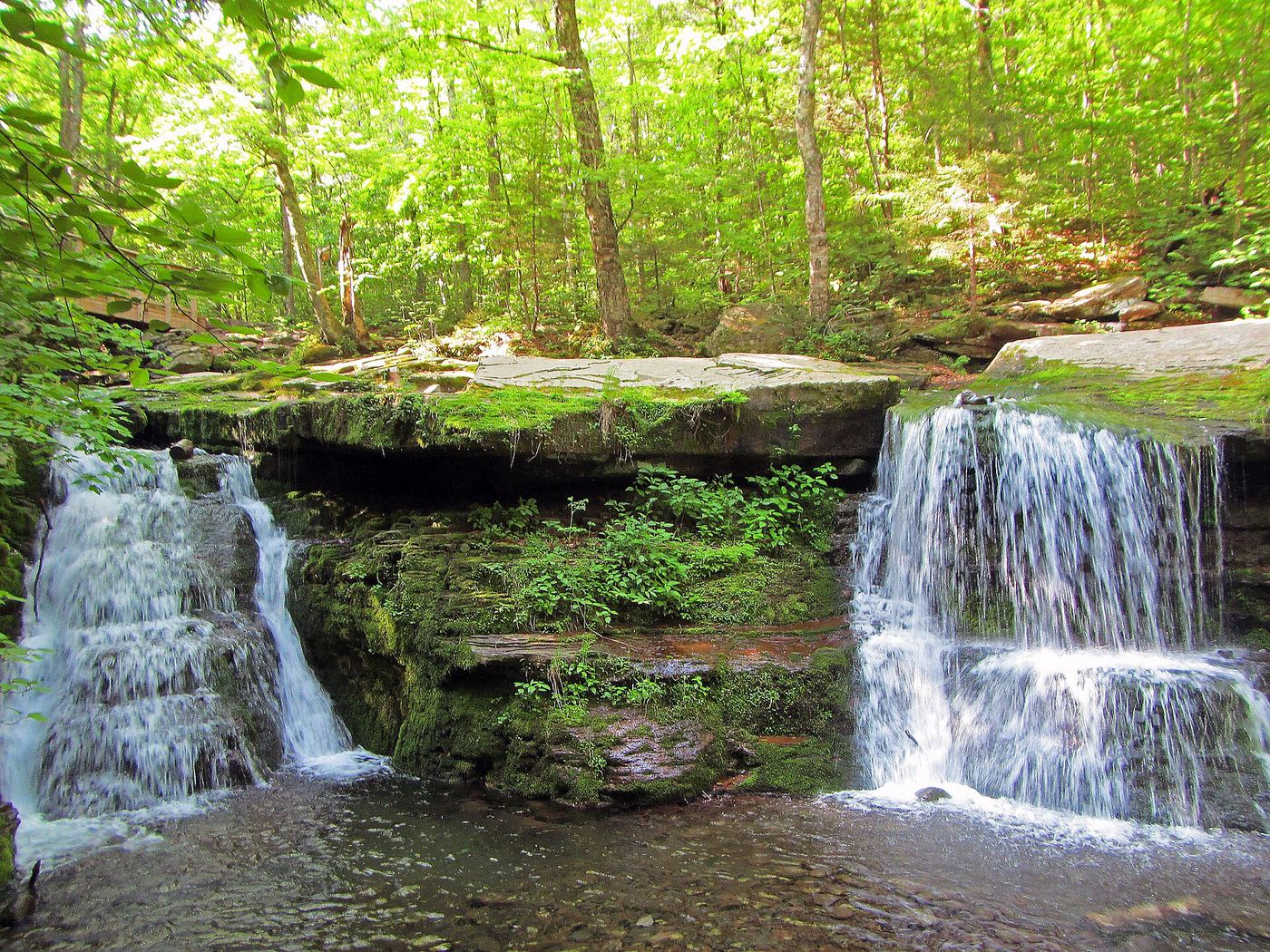
Photo credit
Photo: TheTurducken, with minimal editing by Daniel Case prior to upload, CC BY 2.0, via Wikimedia CommonsAll 69 waterfalls
- Coward's FallsUlster County, NY3.5 miW
- Glenerie FallsUlster County, NY6.5 miN
- Glenerie FallsUlster County, NY6.7 miN
- High Falls WaterfallUlster County, NY9.7 miSW
- Cantine Dam FallsPartial guide: public parking and a safe pedestrian viewpoint are unknownUlster County, NY10 miN
- Winchell's FallsUlster County, NY10 miW
- Mossy Brook WaterfallUlster County, NY12 miSW
- Schalks FallsPartial guide: roadside bridge view; land beside the falls is posted and parking is not described13 ft (4 m) · Ulster County, NY13 miN
- Hidden Falls7 ft (2 m) · Ulster County, NY14 miN
- Lemon Squeeze Falls7 ft (2 m) · Ulster County, NY14 miN
- Blue Hole Falls10 ft (3 m) · Greene County, NY14 miN
- Red Rock Falls16 ft (5 m) · Greene County, NY14 miN
- Black Chasm Falls131 ft (40 m) · Greene County, NY14 miN
- Green Hole Falls23 ft (7 m) · Greene County, NY14 miN
- Grey Rock Falls43 ft (13 m) · Greene County, NY14 miN
- Lower Ghost (Japanese) Falls75 ft (23 m) · Greene County, NY15 miN
- Upper Ghost (Japanese) Falls39 ft (12 m) · Greene County, NY15 miN
- Lower Bridal Veil Falls39 ft (12 m) · Greene County, NY15 miN
- Bridal Veil FallsPartial guide: informal path to an unfenced cliff-edge lookout with many past deaths89 ft (27 m) · Greene County, NY15 miN
- Hells Hole FallsRoadside bridge view; private land around the falls39 ft (12 m) · Greene County, NY15 miN
- Plattekill FallsShort preserve trail; dangerous drop-off at Hell's Hole75 ft (23 m) · Greene County, NY15 miN
- Old Mill FallsPartial guide: view from the footbridge documented; walking distance from the parking area not given13 ft (4 m) · Greene County, NY15 miN
- Upper Hell Hole FallsGreene County, NY15 miN
- Metacahonts FallsUlster County, NY15 miW
- Viola FallsForest Preserve trail past Poet's Ledge; about 3.7 miles one way30 ft (9 m) · Greene County, NY17 miN
- Elizabeth Falls26 ft (8 m) · Greene County, NY17 miN
- Wildcat FallsDEC trail crosses the top of the falls; base access dangerous98 ft (30 m) · Greene County, NY17 miN
- Saw Mill FallsUlster County, NY17 miSW
- Fawn's Leap26 ft (8 m) · Greene County, NY18 miN
- Buttermilk Falls75 ft (23 m) · Greene County, NY18 miN
- Sheldon FallsPartial guide: no designated trail; informal streamside route and a stream crossingUlster County, NY18 miSW
- Peter's Kill FallsPartial guide: no designated trail; off-trail stream walk and the park advises staying on trailsUlster County, NY18 miSW
- LG waterfallPartial guide: the trail to the waterfall and its exact location are unknownDutchess County, NY18 miS
- Lower Buttermilk FallsPartial guide: bushwhack and creek crossing only safe at low water36 ft (11 m) · Greene County, NY18 miN
- Awosting FallsState park preserve carriage road; short walk from the Awosting lot; vehicle feeUlster County, NY18 miSW
- Santa Cruz Falls56 ft (17 m) · Greene County, NY18 miN
- Bastion FallsPartial: falls location documented; no parking on Route 23A and the walk from the lots is not described33 ft (10 m) · Greene County, NY19 miN
- Kaaterskill FallsResearched visit notes148 ft (45 m) · Greene County, NY19 miN
- Delmura FallsPartial guide: bushwhack approach; final route to the falls not described in detail13 ft (4 m) · Greene County, NY19 miN
- Ashley FallsShort campground trail and parking documented; day use feeGreene County, NY19 miN
- Vernooy Kill FallsPartial guide: marked DEC trail to the main falls; the exact drop this listing marks is uncertainUlster County, NY20 miW
- Cornell FallsUlster County, NY20 miW
- Little Stony Kill FallsUlster County, NY20 miSW
- Rainbow FallsState park carriage road and footpath; seasonal flowUlster County, NY21 miSW
- Winter Clove fallsPartial guide: approach crosses inn land; current permission unknown36 ft (11 m) · Greene County, NY21 miN
Show the other 24 waterfalls, 21 mi to 30 mi away
- Stony Kill FallsState park trail with steps and footbridges; parking on Shaft 2A RoadUlster County, NY21 miSW
- Mine Hole Falls23 ft (7 m) · Ulster County, NY21 miSW
- Buttermilk FallsPartial guide: short path, but legal parking at the pull-off is not confirmed under DEC corridor rulesUlster County, NY21 miW
- Venus BathGreene County, NY22 miN
- Gaia CascadeGreene County, NY22 miN
- Diamond Notch FallsState wilderness trail; about a mile one way15 ft (4.6 m) · Greene County, NY22 miNW
- Artist FallsPartial guide: on private resort land; current visitor permission must be asked at the innGreene County, NY22 miN
- East Kill FallsPartial guide: trail name and exact falls position not given; final bushwhackGreene County, NY22 miN
- Glen FallsGreene County, NY23 miN
- Witches Hole WaterfallUlster County, NY23 miSW
- Otter FallsPartial guide: road walk on Route 47 and an unmarked side path; not a marked trailUlster County, NY23 miW
- Dream WaterfallGreene County, NY23 miN
- Verkeerderkill FallsLong Path to a landowner-permitted overlook; trail beyond the overlook is closedUlster County, NY24 miSW
- North Gully FallsUlster County, NY25 miSW
- Buttermilk FallsColumbia County, NY25 miNE
- Hanging Rock FallsPartial guide: informal path; land ownership and parking permission not statedUlster County, NY26 miSW
- Nevele Falls36 ft (11 m) · Ulster County, NY26 miSW
- High FallsUlster County, NY27 miW
- Horseshoe Mines FallsShort unmarked path and roadside parking documentedUlster County, NY28 miSW
- Riga Falls26 ft (8 m) · Litchfield County, CT28 miE
- High Falls WaterfallConservation area trail and parking documentedColumbia County, NY28 miNE
- Bash Bish FallsSource-reviewed route and parkingBerkshire County, MA29 miNE
- Sages Ravine FallsAppalachian Trail hike to a series of small falls; exact mapped drop not confirmedBerkshire County, MA30 miE
- Sages Ravine FallsGuidebook route on the Appalachian Trail; exact cascade not confirmedBerkshire County, MA30 miE