Route and parking researched
Wisconsin
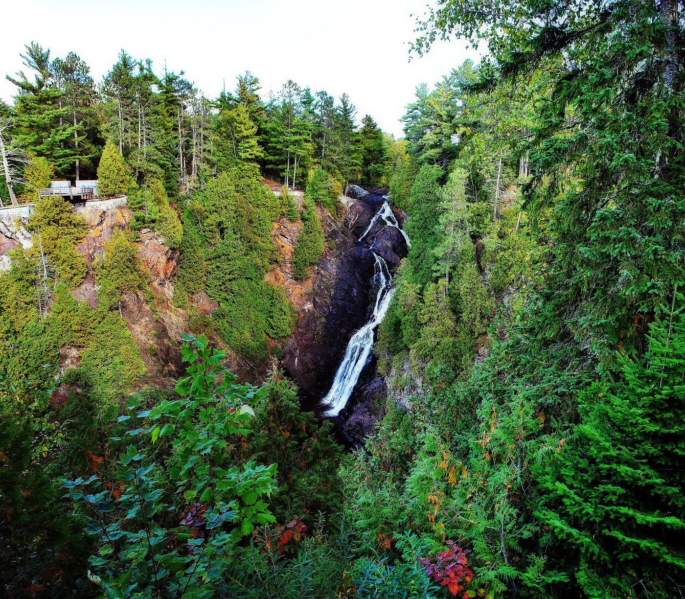
Big Manitou Falls
0.5-mile overlook trail
From the main picnic area, use the pedestrian tunnel under Highway 35 to reach falls overlooks.
Compare 31 Wisconsin waterfall visits by the approach, terrain, and where to start. Some routes have closures or unresolved details; read the individual guide before travelling.
31 visit options
Route and parking researched
Wisconsin
0.5-mile overlook trail
From the main picnic area, use the pedestrian tunnel under Highway 35 to reach falls overlooks.
Pavilion parking and waterfall loop researched
Wisconsin
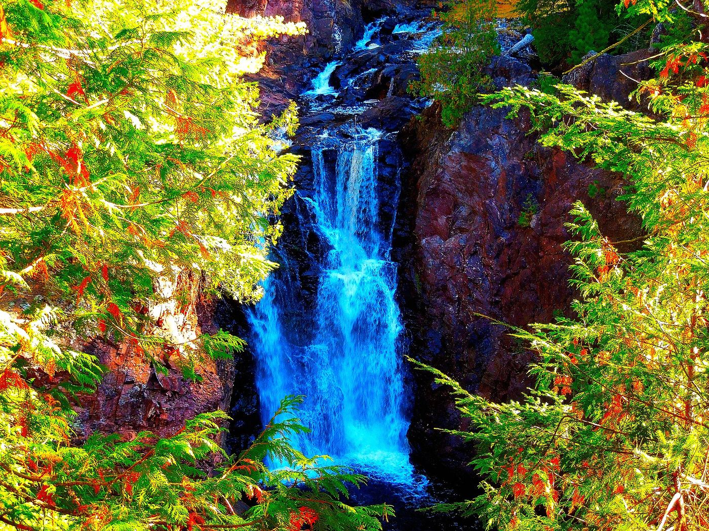
1.7-mile loop
From the pavilion follow Doughboys Trail to the right, initially staying on the near side of the Bad River bridge. Continue along the gorge to the waterfall viewpoints and follow the loop back to the pavilion. The full loop includes steep descent and ascent; pets are prohibited.
County forest waterfall with a short trail from a forest road parking area; roads can be rough
Wisconsin
Short walk; distance not stated
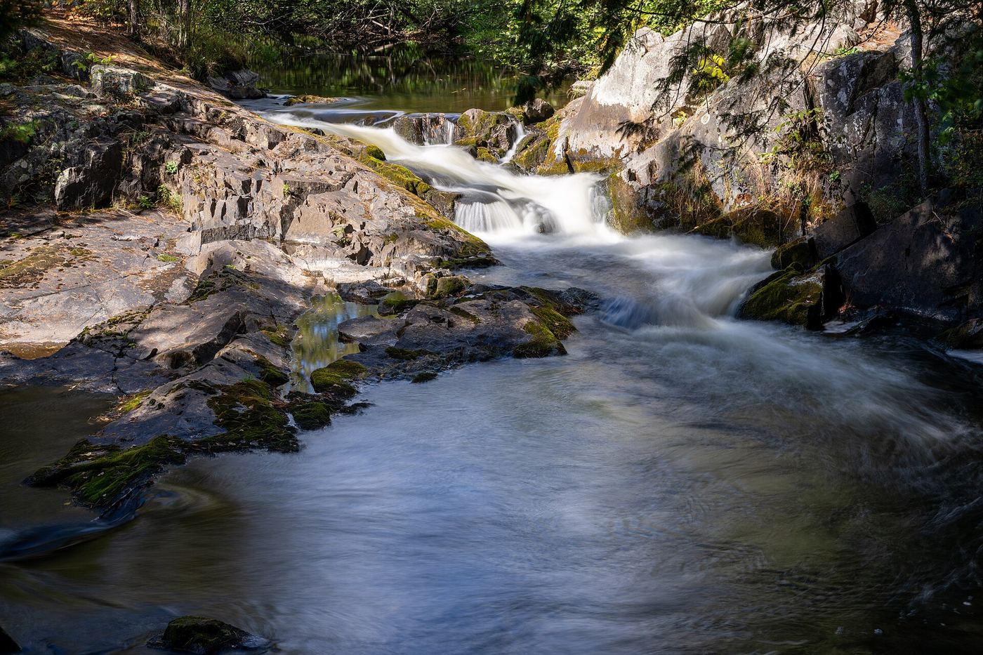
Horseshoe Falls is a multi-level waterfall on the Pike River that bends around a curve, in the Marinette County Forest within the Horseshoe Falls Equestrian Trails area. Marinette County's directions: from US 141 at Pembine go west on US 8 for 5.5 miles, south on Lily Lake Road for 1.5 miles, west on Twin Lakes Road for half a mile, south on Twelve Foot Falls Road for 7 miles, then Forest Road 510 for half a mile to the turnoff to the falls. Visit Crivitz says to follow FR 510 to the turnoff and parking area. A short gravel path turns to rocks and tree roots and leads to the falls. A visitor account says walking around the bend downstream shows the lower part of the falls. Return the same way.
Short state park island trail and footbridge
Wisconsin
0.25-mile island trail (Wisconsin DNR)
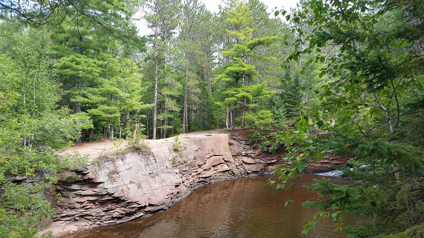
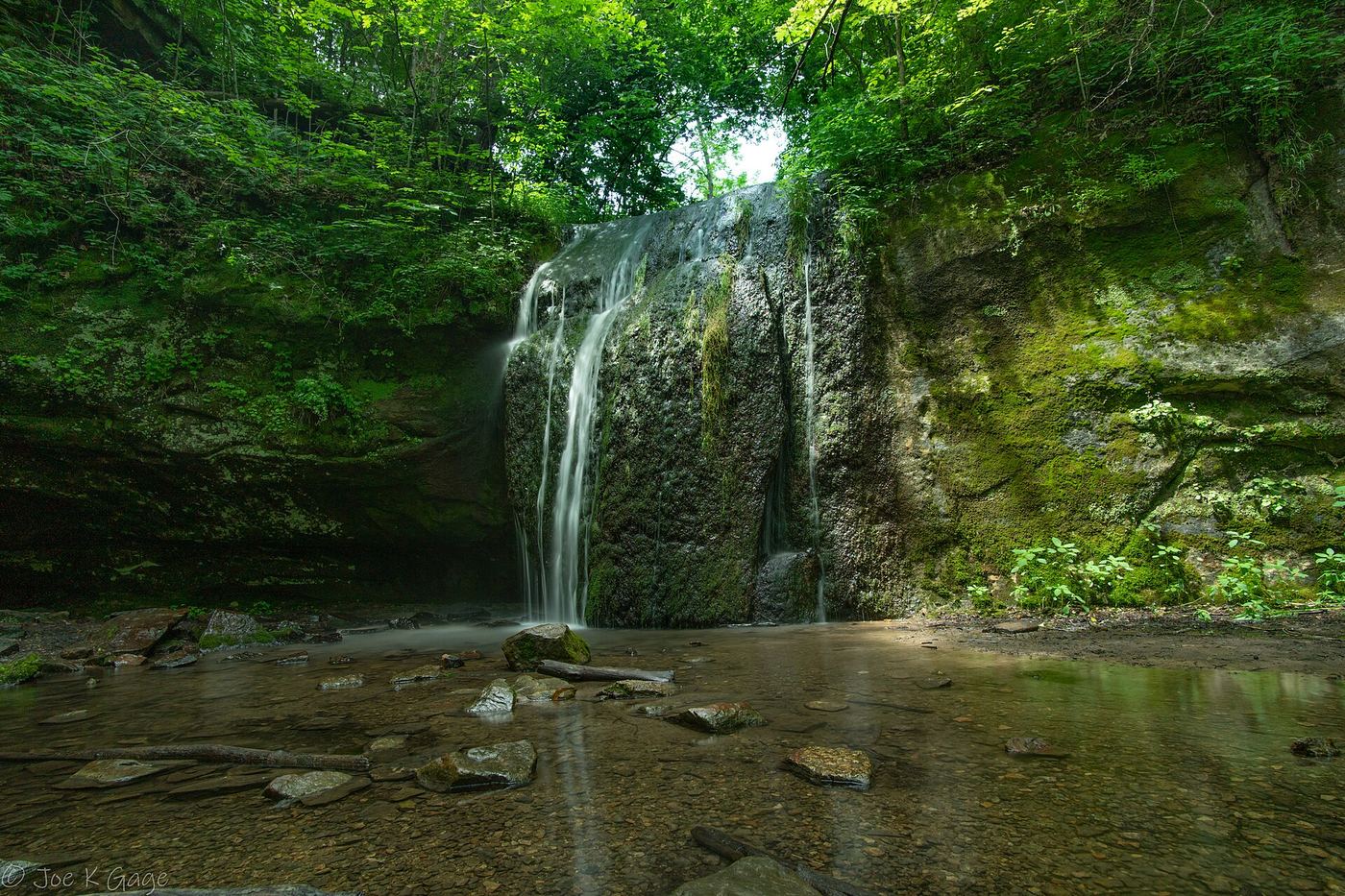
Lower Amnicon Falls is a slide about 15 feet high and 30 feet long on the Amnicon River in Amnicon Falls State Park, south of US 2 near Superior. An old covered footbridge (the Horton Covered Bridge) crosses the river between the Upper and Lower falls. The 0.25-mile trail on the island gives views of the three main falls, Upper, Lower and Snake Pit. Short, mostly flat river walks lead up and down the river to other pools and cascades.
Wisconsin
0.5-mile trail; shorter paved overlook approach
View the falls from above or descend the stone steps.
State park waterfall reached by stone steps from the parking area; vehicle admission sticker required
Wisconsin
Short walk down steps from the parking area; distance not stated
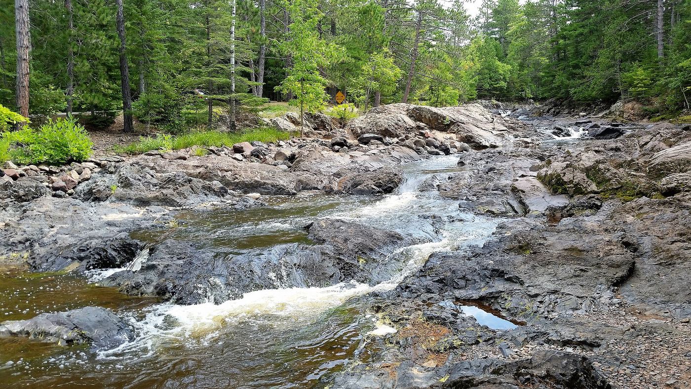
Upper Amnicon Falls is the main drop of Amnicon Falls, about 15 feet, where the Amnicon River pours through a narrow basalt opening into a large plunge pool. From the parking area, walk down the stone steps to the view of Upper Falls. The Horton Covered Bridge, just downstream, also looks upstream at the falls and leads to the island trail; Lower Falls is less than 100 yards below. Return the same way, or continue across the covered bridge onto the island.
Roadside county park with stairs into the gorge
Wisconsin
Short stone stairway into the gorge; no distance is published
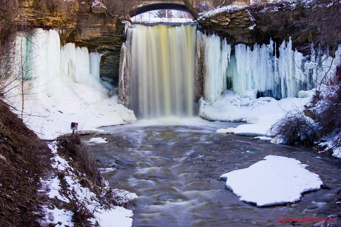
Wequiock Falls is a 25-foot falls on Wequiock Creek where it drops over the Niagara Escarpment, in a small roadside county park northeast of Green Bay. From I-43 take exit 185 and go north on Highway 57 (Sturgeon Bay Road) for 7 miles. Turn onto Van Laanen Road; the first right is the park entrance. An old bridge crosses just above the falls, and stone stairs lead down into the gorge for close views.
State park trail from the Willow Falls parking lot
Wisconsin
0.4-mile trail (Wisconsin DNR)
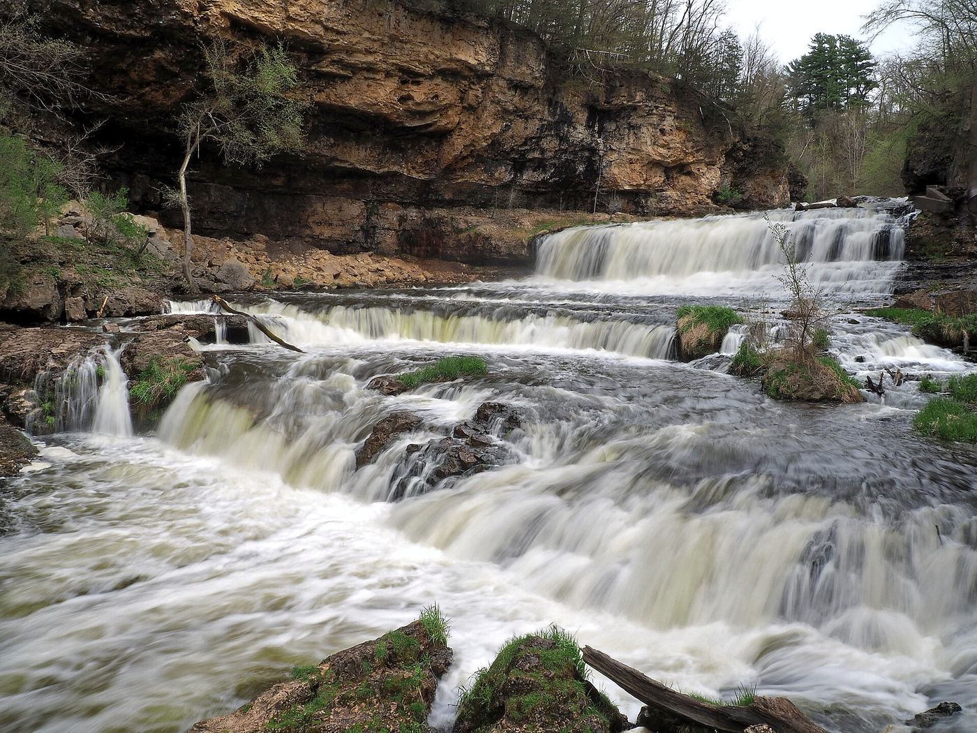
Willow Falls is on the Willow River in Willow River State Park. The shortest route is the Willow Falls Hill trail (Gray trail) from the Willow Falls parking lot north of the park entrance on County Road A; the DNR warns that it goes up and down a very steep hill. The Willow Falls trail (Blue trail) is a 1-mile route from the campground along Little Falls Lake and the Willow River. The Pioneer trail leads to an overlook above the falls.
Rough forest road to a trail parking area and an overlook above the falls
Wisconsin
Distance from the Wren Falls Road parking area to the overlook is not stated; Go Waterfalling says walking in from the end of Vogues Road is about 1.5 miles
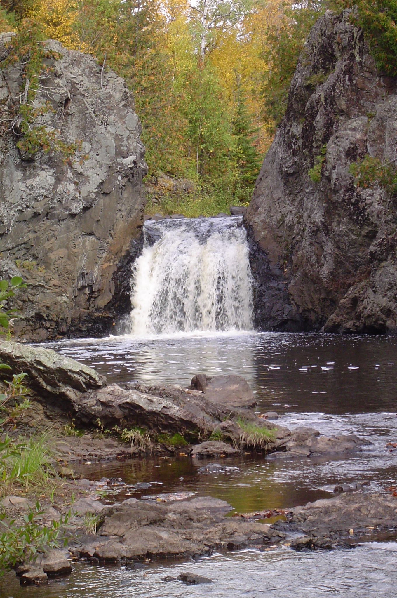
Wren Falls is a 12-foot falls on the Tyler Forks in the woods of Iron County, about 6 miles south of Gurney. From Highway 169, turn onto Vogues Road and follow it 3.6 miles to a hairpin turn where it meets Casey Sag Road. A rough two-track heads south toward the falls; it is only one vehicle wide with no room to pass, and drivers of low cars may prefer to walk. From the Wren Falls Road parking area, take the forest road to the right up a small hill and continue to the Wren Falls Overlook, about 100 feet above the falls. A steep descent leads to the base of the falls. The North Country Trail continues around the escarpment and crosses the Tyler Forks on the Bill Thomas Memorial Bridge. Return the same way.
State park loop trail with overlooks of the falls
Wisconsin
1.7-mile loop (Wisconsin DNR)
Brownstone Falls is where the Tyler Forks plunges about 30 feet into the Bad River gorge in Copper Falls State Park, near Mellen. The Doughboys Nature Trail starts near the concession building and loops along the Bad River and Tyler Forks, with views of Copper Falls, Brownstone Falls and the Tyler Forks cascades. Entering the gorge is prohibited, so the falls are seen from the trail overlooks. Pets are not allowed on this trail.
Location map; no photo available.
Partial guide: short overgrown path; land ownership not stated
Wisconsin
Short walk; no distance is published
Bull Falls is on the Pike River near Amberg in Marinette County. Take County Road K east of Highway 141 for about 1/4 mile to the power lines. Park in the power line right-of-way and walk north to the river; a path leads a short distance downstream to the falls. A visitor account says the path, to the left of the large power poles, is almost unrecognizable in overgrown grass and brush, and the main viewpoint is on rocky cliffs above the river. The sources do not say who owns the land along the path.
Location map; no photo available.
Partial guide: short conservancy trail to an unsigned spur; views need a narrow rock fin or a steep slope
Wisconsin
0.4 mile on the Buffalo Skull Loop Trail to the unsigned spur junction (Hiking Project); the spur length is not stated
Buttermilk Falls is a 40-foot cascade where a spring-fed stream tumbles over many small ledges on its way to the St. Croix River, south of Osceola. The approach is on the Buffalo Skull property of the Standing Cedars Community Land Conservancy, which is open to the public for hiking; the property borders National Park Service land of the St. Croix National Scenic Riverway. From the kiosk on 55th Avenue, walk the Buffalo Skull Loop Trail through open grassland for 0.4 mile to an unsigned junction and take the spur trail to the falls. A view from above means walking out along a rock fin with one narrow spot; a view from below means descending a moderately steep slope beside the falls. Do not walk on the railroad tracks near the falls. Return the same way.
Location map; no photo available.
Village stairway from the main street to the falls
Wisconsin
A stairway down into the glen; no distance is published
Cascade Falls is a 25-foot falls on Osceola Creek in Wilke Glen, in the center of the village of Osceola beside the St. Croix River. Park along Cascade Street (WI-35) in downtown Osceola. Just north of the Watershed Cafe, information signs about Wilke Glen mark the top of a stairway that leads down into the gorge; the falls come into view on the left at the bottom. The trail continues past the falls to the St. Croix River. Return up the stairs. The falls are lit with color-changing lights in the evening.
Location map; no photo available.
Partial guide: state park trail; exact feature not confirmed
Wisconsin
0.5-mile universal trail section; the full Doughboys Nature Trail loop is 1.7 miles
The Wisconsin DNR says the Doughboys Nature Trail in Copper Falls State Park follows the Bad River and Tyler Forks with views of Copper Falls, Brownstone Falls and the Tyler Forks cascades. This listing is probably the Tyler Forks cascades; the exact feature is not confirmed. The 0.5-mile universal section of the trail starts from an accessible trailhead on the park access road and includes a historic CCC bridge over the Tyler Forks cascades. The full 1.7-mile loop starts near the concession building in the main picnic area.
Location map; no photo available.
County-listed waterfall with a short signed trail from a turnaround parking spot
Wisconsin
About a 10-minute walk each way; distance not stated
Eighteen Foot Falls is on the Pike River in Marinette County and is one of the stops on the county's waterfall tour. Marinette County's directions: from US 141 at Pembine go west on US 8 for 5.5 miles, south on Lily Lake Road for 1.5 miles, west on Twin Lakes Road for half a mile, south on Twelve Foot Falls Road for 2.5 miles, then east following the Eighteen Foot Falls sign. Go Waterfalling says this short, rough dirt road ends at a small turnaround; park there and look for the trail to the left. The trail ends at the top of the falls. There are no fences or railings, and good viewpoints are limited. Return the same way.
Location map; no photo available.
County forest road to a parking area near the falls
Wisconsin
A short distance from the parking area; no distance is published
Foster Falls is a 25-foot falls on the Potato River in Iron County, north of Upson. From Upson, go north on Highway 122 for 5 miles, turn left (west) on Sullivan Road and travel 2 miles, then turn right at the sign before the river and go to the parking area. The falls are on the left a short distance away. There are no fences or barriers at the falls. The best view from below means hopping across small rocks. Iron County says the top of the falls can also be seen from the west side of the river by the North Country Trail.
Location map; no photo available.
About 1 mile through woods from a parking lot
Wisconsin
About 1 mile from the parking lot to the falls
LaSalle Falls is a 22-foot drop on the Pine River in Florence County. Turn north off County Highway C onto LaSalle Falls Road and follow it about 2.5 miles to a parking lot on the north side of the road. A medium-difficulty trail of about 1 mile through woods leads to the falls, with a few stairs near the start. The trail ends at a 35-foot rock outcrop next to the falls; Explore Florence County says the best view is from the trail to the base of the falls. There are no fences or railings. Return the same way.
Location map; no photo available.
State park falls a short walk and stairs from a small parking area
Wisconsin
Less than 100 yards from the parking area (American Travel Journal)
Little Manitou Falls is a 31-foot falls on the Black River in Pattison State Park, south of Superior, upstream of Big Manitou Falls. From the park office, turn south on Highway 35 and drive one mile, then turn left at the brown park sign for the falls and continue 0.1 mile to a parking area on the right. Walk across the road to the trailhead and down the stairs; the falls come into view on the right. This short walk is part of the North Country National Scenic Trail. You can also hike from the park office area on the Beaver Trail around Interfalls Lake and then the Little Manitou Falls Trail south along the Black River. Return the same way.
Location map; no photo available.
Signed county forest trail with boardwalks from the Trail Drive trailhead
Wisconsin
About 1.5 miles each way per a visitor account; another visitor review gives 3 miles round trip
Lost Creek Falls is a small waterfall on Lost Creek No. 1 southwest of Cornucopia: an 8-foot plunge with cascades above and below, and a cove where you can walk behind the falls. Travel Wisconsin gives the address as Trail Drive, Cornucopia. Visitor accounts describe a well-marked trailhead on Trail Drive off County C just before Cornucopia, signs along the trail, crushed gravel and long raised boardwalks over wet areas. Near the end, a short series of switchbacks drops to the creek at the falls. Return the same way. Older guides describe a different trailhead on Klemik Road; this guide uses the Trail Drive trailhead.
Location map; no photo available.
County park stair trail to a deck facing the lower falls
Wisconsin
Stair trail; no distance to the lower falls deck is published
Lower Potato River Falls drops about 50 feet on the Potato River in a county park in Gurney. From Highway 169, take Potato River Falls Road to its end and park at the small circle drive. The first trail, which most visitors drive past, descends a steep timber staircase to an observation deck facing the lower falls; the view from the deck is distant and partly blocked. The trail continues down to the river. Reaching the base of the falls means wading across the river, which may not be possible in spring. A shorter path from the top of the gorge leads to another deck with a distant view of the lower falls.
Location map; no photo available.
Construction through October 31, 2026; site remains open
Wisconsin
Nearly 0.75 mile one way; approximately 1.5 miles out and back.
Follow the Morgan Falls trail from the shared trailhead. Fall 2026 improvements leave the site open but add construction traffic.
Location map; no photo available.
Partial guide: seasonal falls that flows only at high water; walking distance not stated
Wisconsin
Short walk from the parking area; distance not stated
Now and Then Falls is a small cascade on a side channel of the Amnicon River in Amnicon Falls State Park. The river splits into three branches along the Douglas Fault, and the third branch flows only at times of high water, which gives the falls its name. A visitor guide places it behind the restroom building near the parking area, on the small creek crossed by the narrow one-lane bridge on the drive in. In dry periods it may be a trickle or dry. Upper Falls, the Horton Covered Bridge and the island trail are a short walk away.
Location map; no photo available.
State park gravel trail to rapids on the Bad River
Wisconsin
2.5 miles round trip (GoWaterfalling); the DNR describes it as a 2.5-mile trail from Loon Lake to the falls
Red Granite Falls is a set of rapids where the Bad River tumbles over red granite outcrops in the southern part of Copper Falls State Park. After entering the park, take the first left on the road to Loon Lake. The wide gravel Red Granite Falls Trail heads east from Loon Lake through northern hardwoods, slopes down above some wetlands, climbs again and makes a final descent toward the river. Take the lower spur trail to the river’s edge. There are no fences here. Return the same way. Pets are allowed on this trail.
Location map; no photo available.
State park trail to a falls with an observation point
Wisconsin
1.2 miles one way on the Silverbrook Trail (Wisconsin DNR); 2.4 miles round trip (Hikes with Tykes)
Silverbrook Falls is an 18-foot falls in the remote, forested southern end of Interstate State Park, Wisconsin's oldest state park, south of St. Croix Falls. Enter the park on Park Road and follow it to the Pines Group Camp parking lots; the trailheads are at the end of the road and at the southern of the two lots. The out-and-back Silverbrook Trail follows part of the original road from St. Croix Falls to Osceola, passes wetlands, crosses a small stream and passes an abandoned copper mine and the grounds of the old Silverbrook Mansion before reaching the falls, where there is an observation point and a bench. Return the same way.
Location map; no photo available.
Public preserve with parking, boardwalks and short trails; land south of the road is private
Wisconsin
Less than 0.25 miles to the falls per Travel Wisconsin; the preserve trails total about 0.8 miles
Siskiwit Falls is a series of cascades and slides on the Siskiwit River just east of Cornucopia. Bayfield County bought about 100 acres north of Siskiwit Falls Road, and Travel Wisconsin describes it as a 102-acre preserve with walking along the river and over boardwalks. American Whitewater says parking lots and privies have been installed and trails built to view all the falls. Walk from the parking area along the boardwalks and trails downstream of the road. The land south of the road is privately owned; follow the signs and stay on the public side.
Location map; no photo available.
Partial guide: state park island trail; walk from the parking lot not described
Wisconsin
0.25-mile island trail (Wisconsin DNR)
Snake Pit Falls is one of the three main falls on the Amnicon River in Amnicon Falls State Park, with Upper and Lower Amnicon Falls. The DNR says the most popular way to see the falls is the 0.25-mile trail on the island, which views all three main falls and smaller falls and pools. The park also has a covered foot bridge with views of the falls. The DNR names a covered bridge parking lot but does not describe the walk from the lot to the island trail.
Location map; no photo available.
County park walk to the falls
Wisconsin
Short walk through the park; no distance is published
Strong Falls is on the Peshtigo River in Goodman Park, a Marinette County park with a campground, picnic area and playground. Drive up the gravel entrance road on Goodman Park Road, park in one of the small parking lots, and walk through the grassy park and trails to the river near the log cabin built by the Civilian Conservation Corps. The river drops over a series of boulders. A short way upstream, a large wooden arch bridge crosses the river to a wooden walkway on the far bank.
Location map; no photo available.
County park trail to an observation deck
Wisconsin
Short signed trail to an observation deck; no distance is published
Upper Potato River Falls is a 40-foot falls in several drops on the Potato River, just upstream of the Lower Falls, in a county park in Gurney. The park is at the end of Potato River Falls Road, a gravel road west of Highway 169. From the parking lot take the signed trail on the left to the Upper Falls. It ends at an observation deck with a view of the upper part of the falls; no single spot shows the whole falls. Going down to the river below the deck means scrambling over rocks, which can be dangerous or impossible in high water.
Location map; no photo available.
Town park with a short trail to the falls
Wisconsin
Short trail; no distance is published
Upson Falls drops about 20 feet on the Potato River just north of Upson. Turn north off Highway 77 at the Upson Town Park sign, then left at the end of the street. After crossing the river, turn left into Upson Town Park. A fairly short trail with a rocky incline leads to the falls. A visitor account describes walking upstream from the park shelter past smaller falls and rapids to the larger falls.
Location map; no photo available.
County park falls a short walk, bridge or stairs from the parking area; county day pass
Wisconsin
A short walk from the parking area; no distance given
Veterans Falls is on the Thunder River inside Marinette County's Veterans Memorial Park, west of Crivitz. The county counts three falls in the park, with a walking bridge and trails. From US 141 at Crivitz, go west on County Road W for 11.5 miles, then north on Parkway Road for 3.5 miles to the park entrance. From the parking area, reach the falls either by the path over the wooden bridge that spans the falls or by the staircase down the hillside to the river; there is also a viewing platform. Along the shore, Three Foot Falls is about 50 yards away, and Lower Veterans Falls is about 100 yards farther downstream on a small foot-worn path. Return the same way.
Location map; no photo available.
Partial guide: rough 4-mile gravel road; land ownership at the falls not confirmed
Wisconsin
400-foot trail to the falls per American Whitewater
Washburn Falls is a close set of cascades and drops on the Popple River near Fern in Florence County, on a stretch designated a State Wild River. American Whitewater says the falls can be reached by White Ash Road, a gravel road and ATV trail about 4 miles long whose last half is often rough, and that a parking lot and a 400-foot trail to the falls are on the left. A visitor account describes a short, easy walk from a gravel parking area to a side view of the largest single drop, with the lower cascades downstream. Return the same way. The same source says over 95 percent of the land along this stretch is owned by the Wisconsin DNR and Florence County; ownership at the falls itself is not stated.
Location map; no photo available.