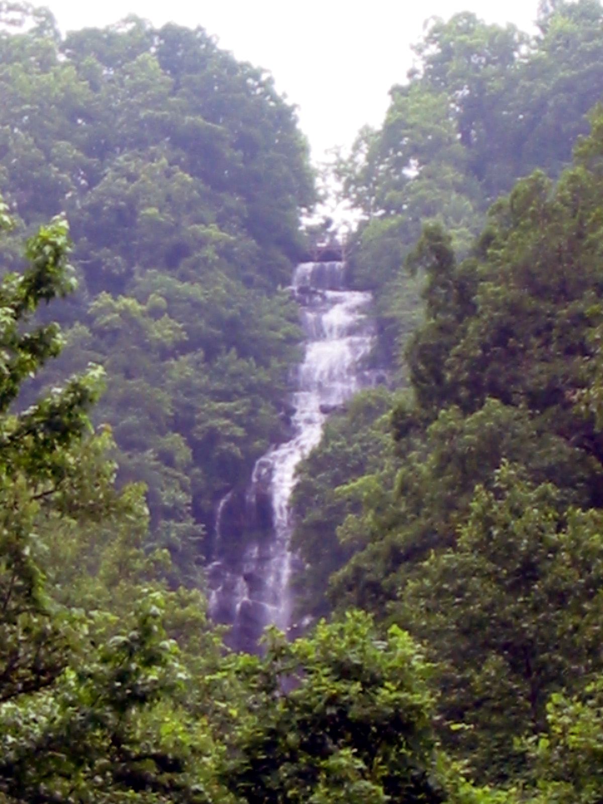
Georgia
Amicalola Falls
0.3-mile mapped access segment
Use the West Ridge access path for the lower platform. East Ridge is a separate trail and is closed.
Compare 46 Georgia waterfall visits by the approach, terrain, and where to start. Some routes have closures or unresolved details; read the individual guide before travelling.
46 visit options
Georgia
0.3-mile mapped access segment
Use the West Ridge access path for the lower platform. East Ridge is a separate trail and is closed.
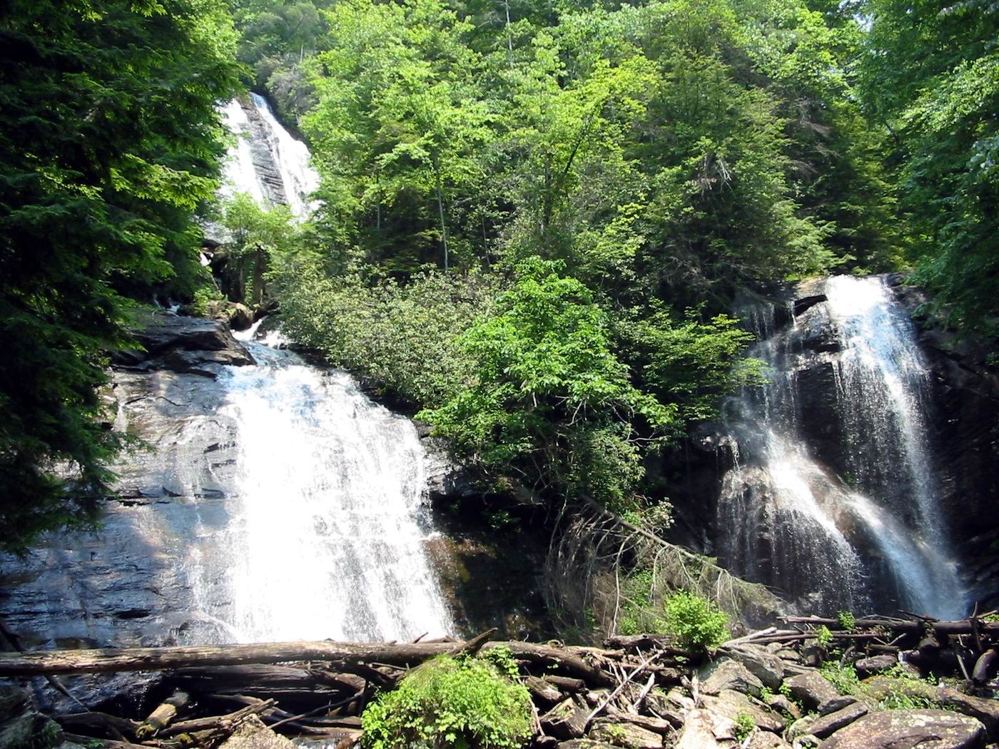
Georgia
0.4 mile one-way; 0.8 mile round-trip
Walk from the visitor center to the twin-falls observation decks.
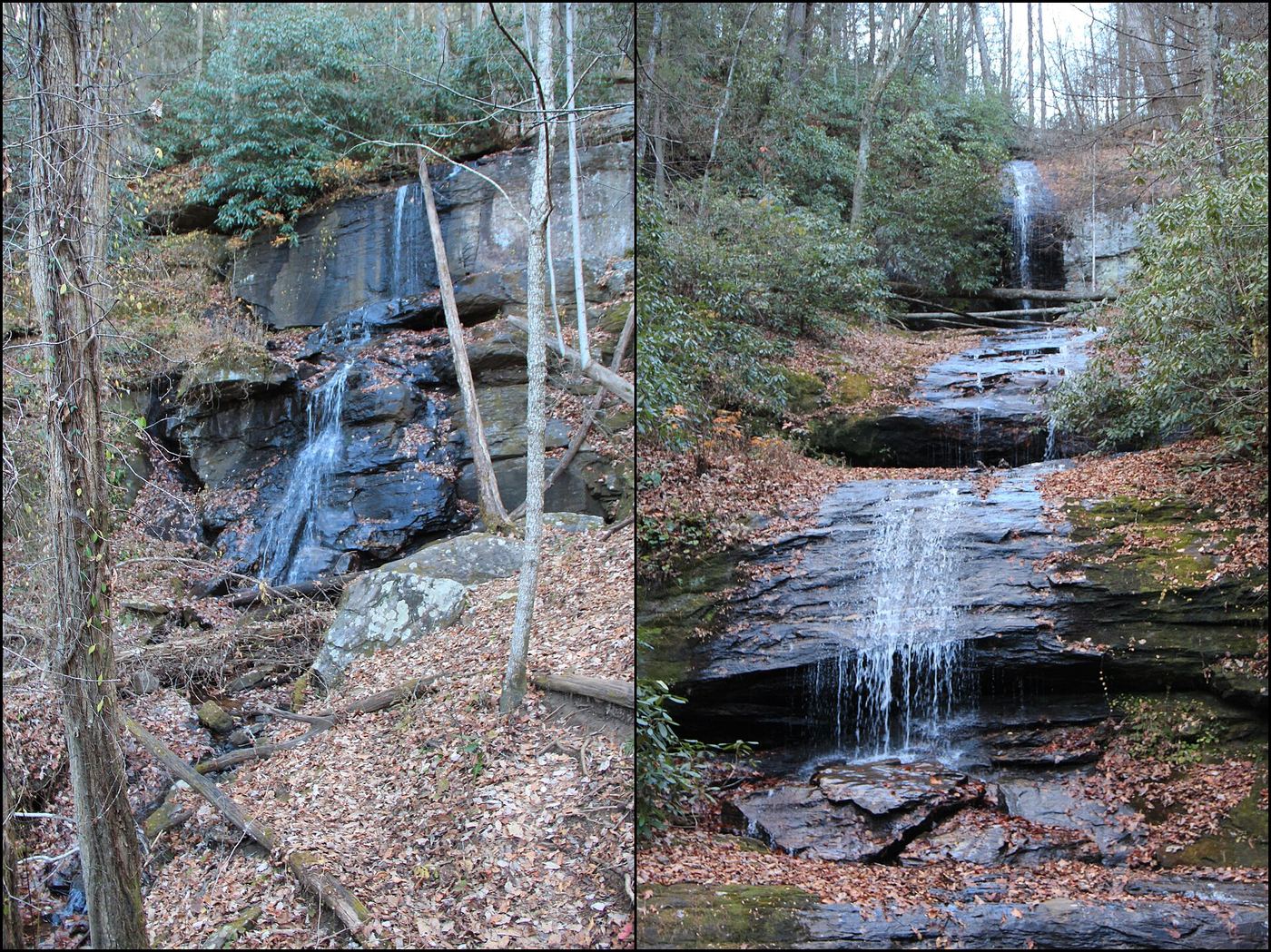
Researched walking route
Georgia
About 2.1 miles return for both falls
Two waterfall trails start at the DeSoto Falls recreation area in Lumpkin County.
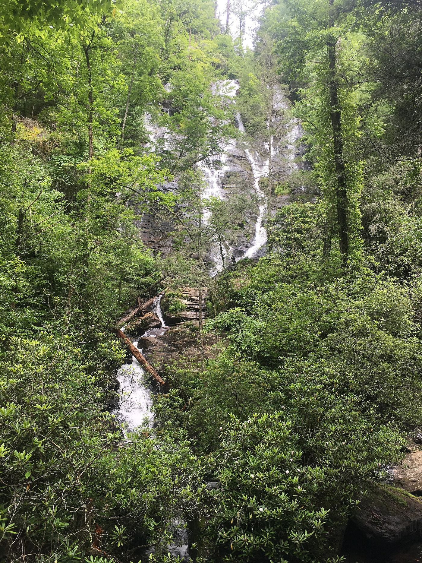
National Forest day-use trail documented; fee site
Georgia
About 2 miles return
The trail passes an accessible viewing deck at 0.1 mile, then descends by stairs and switchbacks. At the junction at 0.3 mile, turn left (right is a short side trip to Davis Creek). The trail reaches three viewing platforms at the falls at 1 mile. Return uphill the same way.
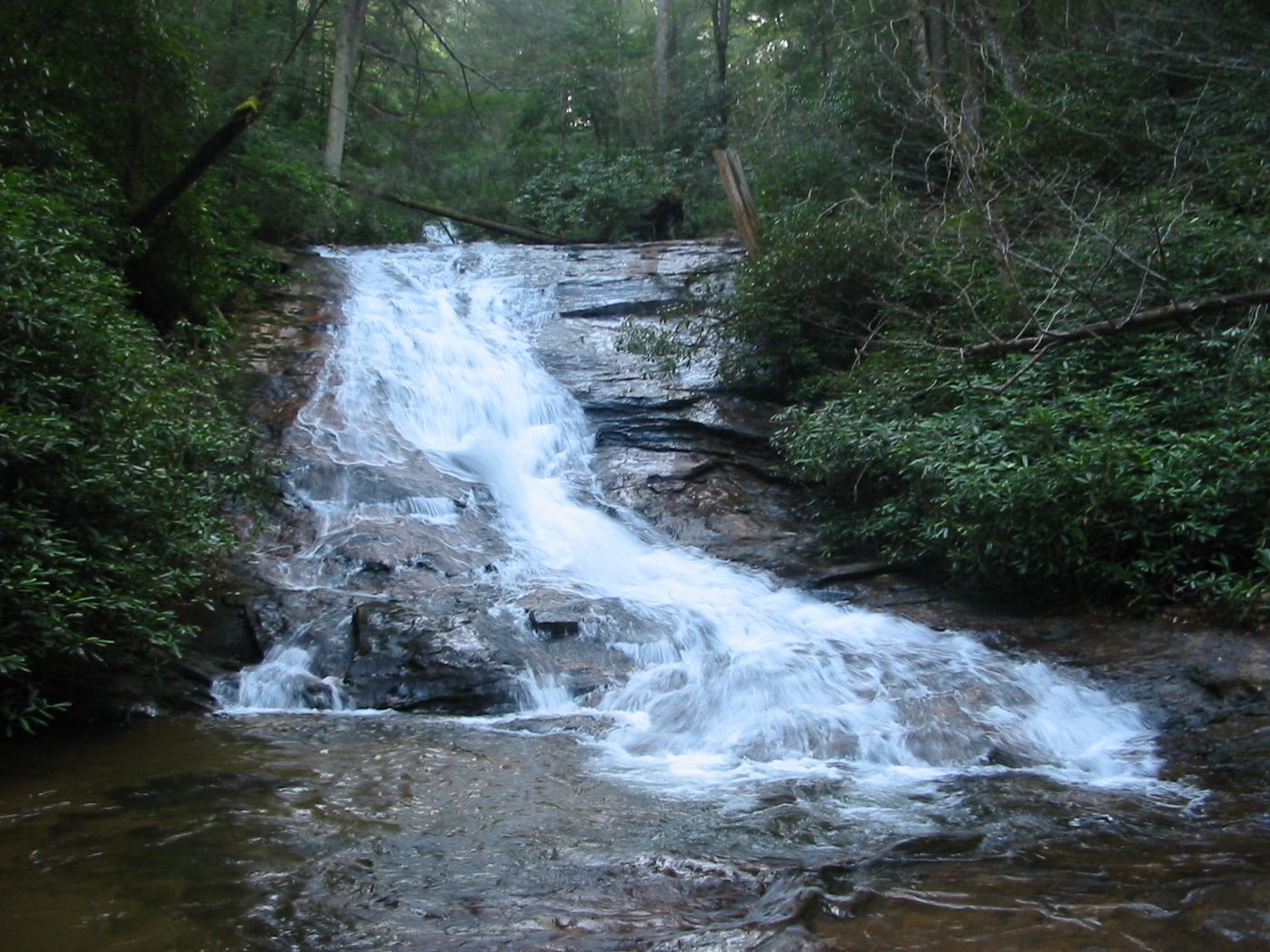
Parking documented by local tourism; walking route documented by Atlanta Trails.
Georgia
About 0.6 mile return
Two waterfalls are reached on a short forest walk near Vogel State Park.
Source-reviewed marked trail and roadside parking
Georgia
County travel guide lists a 2-mile round trip
From the west-side pull-off opposite the state park and hatchery, follow marked Hemlock Falls Trail along Moccasin Creek. The county’s detailed trail account describes a wooden bridge crossing before the falls.
Georgia
About 0.4 mile round trip when the campground approach is open
Walk from Upper Chattahoochee River Campground to the signed Horse Trough Falls trail and viewing platform. Campground gate closures can lengthen the walk.
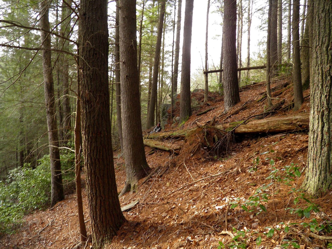
Partial guide: undated route on a storm-damaged footpath
Georgia
About 0.45 mile each way
From GA 60 south of Morganton, turn right on FS 69 (Fish Hatchery Road) and drive about 3 miles to the bridge over Little Rock Creek, where there is a small pull-out. A footpath with crude white blazes follows the left side of the creek, crossing a small wet-weather branch at 0.15 mile and another at 0.35 mile, reaching the viewing area at 0.45 mile. The guide is undated and says storm damage left the path hard to follow and going only part way.
Georgia
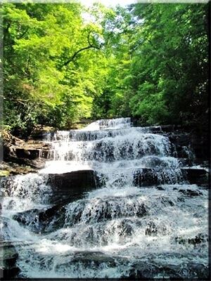
Published 0.4-mile trail
Follow the named trail from Bear Gap Road to the falls on Fall Branch.
Georgia
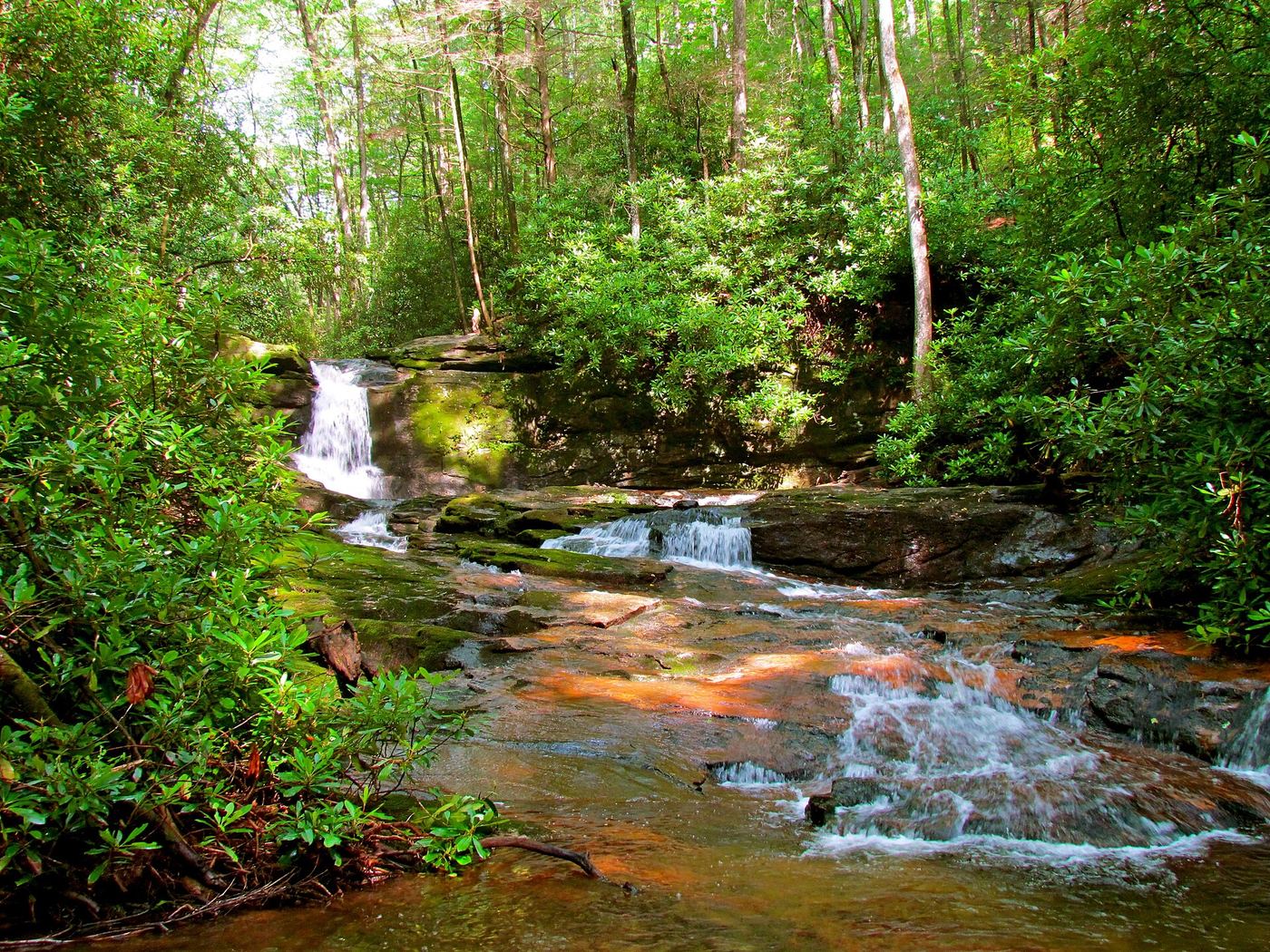
Published round-trip distances conflict: 5 and 6.6 miles
Follow Dodd Creek toward the waterfall in the split cliff.
Partial guide: official route; open to the public June to August only; name match not confirmed
Georgia
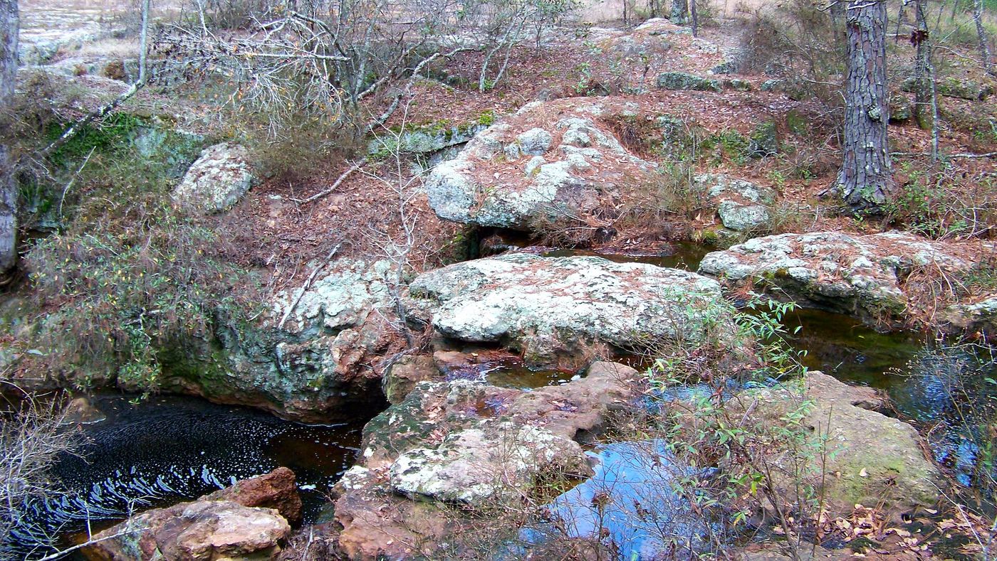
About 1 mile each way
Broxton Rocks is a Nature Conservancy preserve. From GA 107 east of the Ocmulgee River, turn onto paved Old River Road, then onto the dirt Rock Road and drive to the gate. Park near the kiosk without blocking the gate and follow the trail about one mile to the falls. TNC says the preserve is open by appointment only, but this trail is open to the public June to August, and on Easter Sunday and set tour dates.
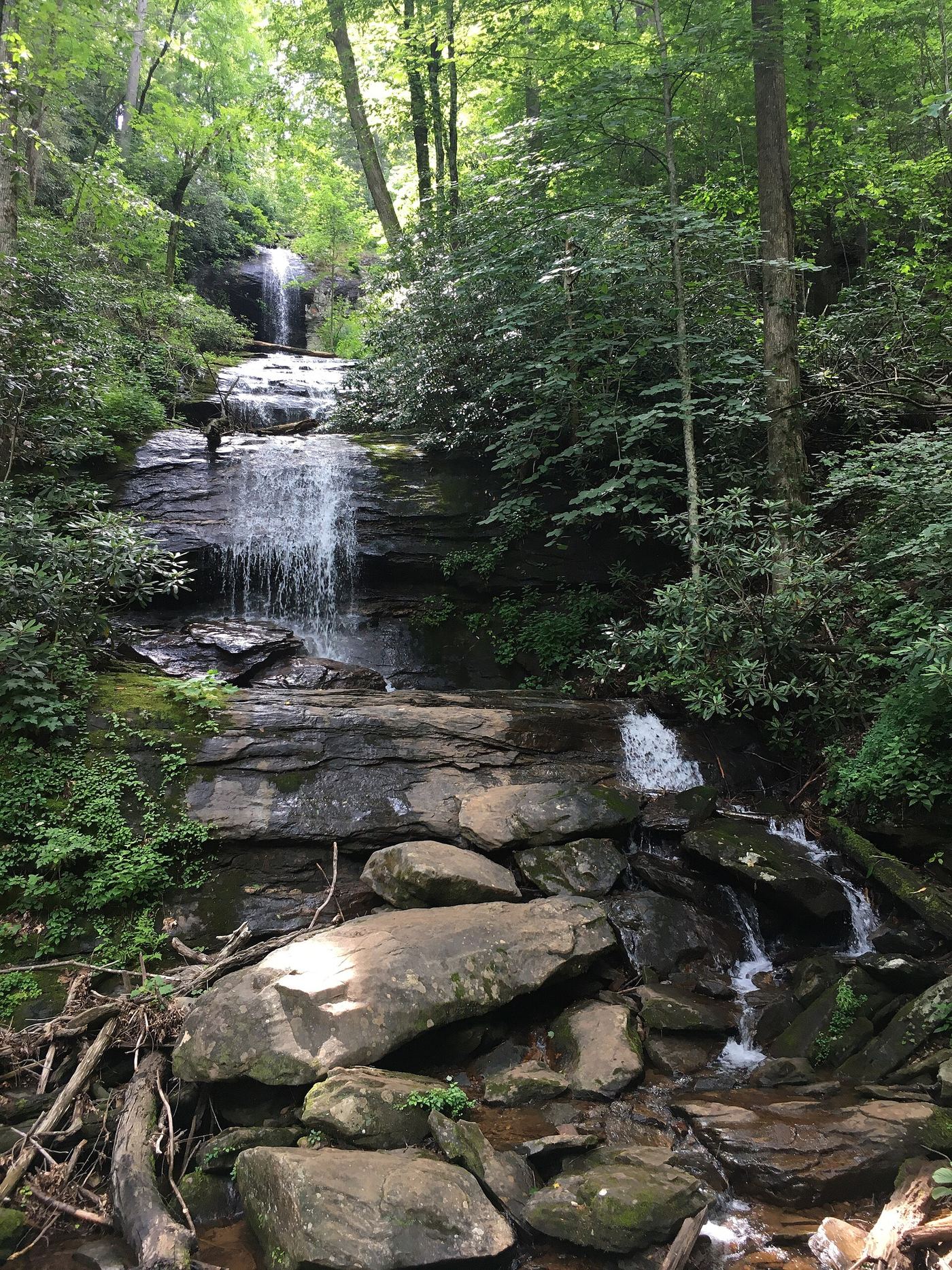
Partial guide: upper trail access reported closed by some visitors; exact falls name varies
Georgia
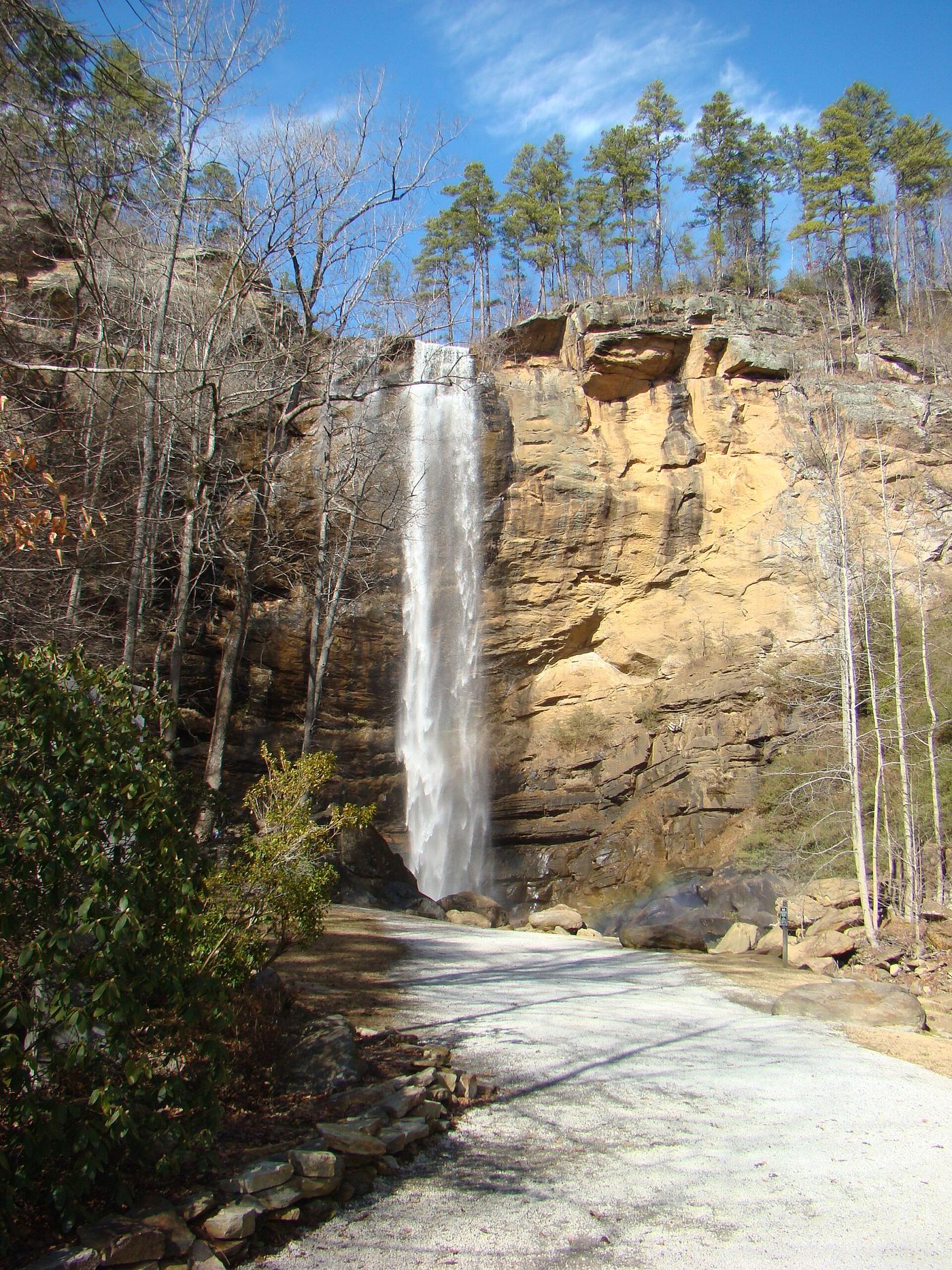
0.75 mile one way per Recreation.gov; about 1.5 miles return (derived)
Park in the day-use lot, follow signs through the picnic area to the bridge over Frogtown Creek, and turn right on the Upper DeSoto Falls Trail. It climbs gradually to a viewing platform at the upper falls. Return the same way. The Dyrt reports that a higher, third waterfall section is closed to hikers.
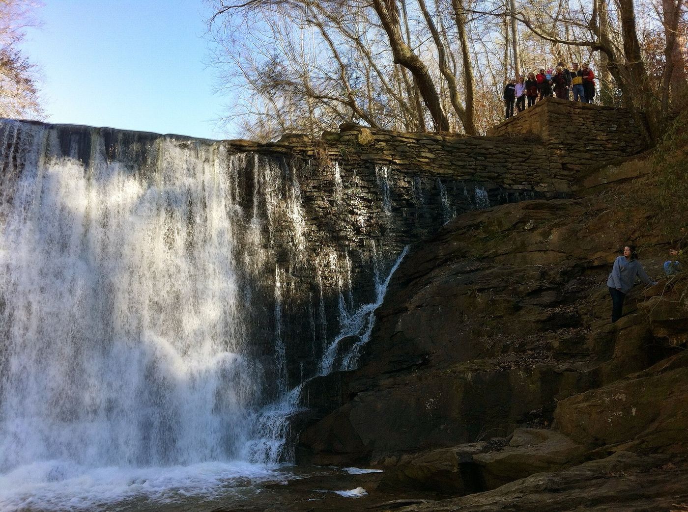
Short documented walk to a dam waterfall viewing platform
Georgia
Short walk; distance not given
From Old Mill Park off Mill Street, the path slopes down to the old Roswell Mill machine shop. Follow the gravel path past the machine shop and upstream past mill ruins to the Vickery Creek dam waterfall, a spillway falls from a historic mill dam. View it from the wooden platform; the city restricts water access on this side, so stay on the trail. The covered bridge nearby connects to the Chattahoochee River National Recreation Area trails, which also have a bluff view of the falls.
Partial guide: park trailhead and distance published; exact route and falls coordinates not confirmed
Georgia
About 3.1 miles round trip
Start at Olde Rope Mill Park, 690 Olde Rope Mill Park Road, Woodstock, run by the City of Woodstock. Hike the Allatoona Falls Trail upstream along the Little River and return the same way. The falls are a broad rocky cascade over rock shelves, not a tall drop. The park trail system is shared with mountain bikers and uses directional flow days. The exact path from the park trails to the falls was not described step by step in the source reviewed.
Location map; no photo available.
Official picnic area with nearby falls; path to falls not described
Georgia
Short walk from the picnic area; no distance published
Barnes Creek Picnic Area is a simple day-use picnic site in the Conasauga Ranger District of the Chattahoochee National Forest, with a small waterfall nearby. The path from the picnic area to the falls is not described by the Forest Service.
Location map; no photo available.
Official permit route documented; strenuous stairs and boulders
Georgia
Strenuous; stairs plus about 0.4 mile on the gorge floor from Hurricane Falls
Get a free gorge floor permit at the Interpretive Center (100 per day). Take the Hurricane Falls Trail stairs down into the gorge and cross the suspension bridge, then go down more stairs to the platform at Hurricane Falls. With the permit you may cross the Tallulah River there and follow the north bank trail about 0.4 mile downstream to Bridal Veil Falls. Return the same way. A distant view of Bridal Veil Falls is also possible from North Rim Overlook 1 without a permit.
Location map; no photo available.
Partial guide: official overlooks name the cascade; exact location match is probable
Georgia
About 3 miles return
From the Interpretive Center, take the North Rim Trail, cross the gorge to the South Rim Trail and continue to Overlooks 9 and 10. Georgia State Parks says Overlook 9 views Caledonia Cascade (600 feet) and Overlook 10 views the cascade and the Wallenda north tower area. Return the same way. This listing's location is about 570 meters from the published location of Caledonia Cascade, so the match is probable, not confirmed.
Location map; no photo available.
Published trail route and trailhead documented; parking fee may apply
Georgia
About 2.1 miles each way, about 4.1 miles return
Cascade Falls is the highlight of the easternmost section of the Pine Mountain Trail in F. D. Roosevelt State Park. From the WJSB-TV tower parking lot just south of Warm Springs, the trail passes Csonka Falls, Big Rock Falls and Slippery Rock Falls along Wolfden Creek, then climbs over Bumblebee Ridge to Cascade Falls. Each waterfall is marked with a wooden sign. Return the same way.
Location map; no photo available.
Source-reviewed route and parking
Georgia
About 1 mile round trip to Cherokee Falls
Start at the Main Trailhead in Cloudland Canyon State Park and descend the Waterfalls Trail to Cherokee Falls, about half a mile outward. Return uphill the same way. Continuing to Hemlock Falls adds a further steep descent; that extension is not included in this distance.
Location map; no photo available.
Parking and pedestrian approach unconfirmed
Georgia
Roadside location; walking approach unconfirmed
Dahlonega’s visitor bureau identifies these Lumpkin County falls below the confluence of Dicks and Waters Creek. They are distinct from the Chattooga River namesake.
Location map; no photo available.
Trail route and parking documented; many creek crossings
Georgia
More than 1.5 miles each way; exact distance not given
From the Emery Creek trailhead, the first stretch is rooty and rocky above the creek to the confluence of Emery and Holly Creeks. The trail then climbs gently beside Emery Creek. About 1.4 miles in, follow an old road bed for about a tenth of a mile, then climb to the left (do not go straight across the creek). Cross the creek and take a short spur to the base of the first waterfall; the second is directly above. Expect about ten creek crossings each way.
Location map; no photo available.
Partial guide: route from trail guides; scramble at the upper falls; distance approximate
Georgia
About 6 miles return (approximate)
Start on Emery Creek Trail #97 at its south end on Holly Creek Road (FS 18). The trail follows Emery Creek, becomes an old road bed at about 1.4 miles, then climbs left. After a spur to the first two falls, continue up more steeply to three more falls of 15, 40 and 15 feet. A closer look needs a scramble down the bank. Return the same way.
Location map; no photo available.
Partial guide: which Fall Creek waterfall this point marks is unconfirmed
Georgia
About 4.4 miles return
N2Backpacking describes starting at the Monument Road trailhead and dropping about 1,200 feet to a waterfall on Fall Creek. Stay left on the Fall Creek Trail at about 0.3 mile. The first part is a gravel 4x4 road and the last mile is single track. Fall Creek has several waterfalls; it is not confirmed which one this point marks.
Location map; no photo available.
Georgia
1.8 miles round trip
Descend the Waterfalls Trail from the main trailhead, following signs past the Cherokee Falls branch to Hemlock Falls. The official map marks parking beside the main trailhead and interpretive center.
Location map; no photo available.
Partial guide: inside a paid attraction; falls coordinates not confirmed by Rock City
Georgia
Inside a paid attraction; distance not given
High Falls is inside Rock City Gardens, a ticketed private attraction on Lookout Mountain in Georgia. Rock City says its Blue Trail, the Bridges Path, passes the Swing-A-Long Bridge, Stone Bridge, Observation Point and Cave of the Winds, and ends with the cascading High Falls and Shelter Rock. A ticket is needed. Trail sources describe the falls as man-made and sometimes dry, but this was not confirmed by Rock City.
Location map; no photo available.
State park staircase trail documented; fee
Georgia
About 2 miles return
The Hurricane Falls Loop Trail descends metal staircases from the rim to the suspension bridge and Hurricane Falls, then climbs out. South Rim overlooks also view Hurricane Falls and its pool.
Location map; no photo available.
Published trail route and distance documented; long wilderness hike
Georgia
About 4.5 miles each way, 9 miles round trip
From the Beech Bottom trailhead, follow the Beech Bottom Trail about 4.5 miles to the falls with mild to medium grades and only a couple of small creek crossings. Almost 4 miles in, on a gentle downhill, take the sharp turn back to the west-northwest rather than continuing straight southeast. A sign there reads No Horses Beyond This Point; the falls are minutes away along the Jacks River. Return the same way.
Location map; no photo available.
Firsthand trail report with directions and distance
Georgia
0.9 mile one way via the south side of the loop; about 1.8 miles if you retrace it
Start at the far end of the parking area at the end of FS 702. At the loop split at 0.1 mile, stay left and climb switchbacks to South Keown Falls at 0.75 mile, then follow the bluff to Keown Falls, a 35-foot free-fall over an overhanging ledge, at 0.9 mile. Return the same way or finish the loop.
Location map; no photo available.
Published trail route and trailhead parking documented; low flow most of the year
Georgia
About 0.75 miles each way, about 1.5 miles return
South Keown Falls is a 25-foot free-fall on a tributary beside Keown Falls in the Chattahoochee National Forest. From the far end of the parking area, the trail splits into the Keown Falls Loop at 0.1 mile. Stay left and climb the switchbacks up Johns Mountain. The trail enters Keown Falls Cove at about 0.65 miles and reaches South Keown Falls at 0.75 miles. Keown Falls is at 0.9 miles. Return the same way or finish the loop.
Location map; no photo available.
State park rim overlook documented; fee
Georgia
About 0.75 mile one way for the whole North Rim Trail
Start behind the Interpretive Center on the North Rim Trail. Georgia State Parks says two North Rim overlooks view L'Eau d'Or Falls, one also showing the top of Tempesta Falls and Hawthorne Pool. A rubber-surface path from the center reaches Overlooks 2 and 3.
Location map; no photo available.
Tourism authority directions and distance documented
Georgia
About 1.1 miles one way; about 2.2 miles return (derived)
From the Hikers Crossing sign at Three Forks, start on the north side of the road and follow the combined Appalachian and Benton MacKaye Trail gradually up beside Long Creek. After three short ascents, take the blue-blazed side trail to the two-tiered falls. Return the same way.
Location map; no photo available.
Published off-trail route and parking documented; fords and unmarked paths
Georgia
About 0.9 miles each way, about 1.8 miles return
Alberta Falls is a 40-foot single drop on Canada Creek near Suches. No official trail leads there. From the parking area, walk about 250 feet back up East Canada Creek Road to a big pullout and take the less obvious forest road from its far east end. Follow it about 0.35 mile to its end, then take a path upstream along the creek. Ford Canada Creek twice, cross Wildhog Creek, and follow the path upstream to its end at the falls. Do not follow the old logging road on the west side of Wildhog Creek; it leads to private property.
Location map; no photo available.
National Forest trail documented; fee site
Georgia
About 0.3 mile one way (0.6 mile return)
From the DeSoto Falls Recreation Area off US 19/129, take the trail downstream along Frogtown Creek to the lower falls. The upper falls trail is separate, 0.75 mile upstream.
Location map; no photo available.
Partial guide: unofficial path and informal roadside parking
Georgia
0.3 mile one way; about 0.6 mile return (derived)
From the pull-off where a dirt road leaves GA 180, walk back east along the grassy shoulder about 0.15 mile. About 150 feet past the Sorrels Branch culvert, take a narrow path up the bank to an old logging road. When the top of the falls shows on the left, cut through open woods about 200 feet to a viewpoint. A steep scramble leads to the base.
Location map; no photo available.
Official route documented; reservation and fee required; limited open days
Georgia
About 4.2 miles return for the out-and-back
Lula Falls is a 110 to 120 foot waterfall on Rock Creek in Lula Lake Land Trust on Lookout Mountain. The preserve is open to the public only on reserved Open Gate Days. From the parking lot, walk 1.5 miles down the gravel road beside Rock Creek to Lula Lake. Continue straight past the overlook and the Old Lula Falls Trail, then take the Lula Falls Trail on the left down to the base of the falls. Return the same way.
Location map; no photo available.
Partial guide: exact feature at Lula Lake unconfirmed; reservation days only
Georgia
About 1.5 miles one way to Lula Lake
Lula Lake Land Trust directs visitors down the gravel road beside Rock Creek for 1.5 miles to Lula Lake, then 0.1 mile on to 110-foot Lula Falls. This listing is likely a smaller falls at the lake rather than Lula Falls itself; that is not confirmed.
Location map; no photo available.
State park rim overlook documented; fee
Georgia
Up to about 0.75 mile one way
Start behind the Interpretive Center on the North Rim Trail. Georgia State Parks describes one North Rim overlook as the best southern view into the gorge, with Oceana Falls below. A South Rim overlook also views Oceana Falls.
Location map; no photo available.
Helene repairs: normal parking closed; trail warning
Georgia
7-mile return; parking closed
Hurricane Helene damaged trail tread and recreation facilities. The trail remains open with warnings, while the normal parking area is closed.
Location map; no photo available.
Tourism authority directions and short walk documented
Georgia
0.1 mile one way
Sea Creek Falls is in the Cooper Creek Scenic Area. Park at the end of the short spur and walk 0.1 mile to the base of a series of steep cascades. Return the same way.
Location map; no photo available.
Published trail route and trailhead parking documented
Georgia
About 0.5 miles each way, about 1 mile return
Stonewall Falls is a 20-foot waterfall on Stonewall Creek in the Chattooga River District of the Chattahoochee National Forest. From the parking area, walk past the gated road onto the Stonewall Falls Mountain Bike Trail. It descends moderately to the creek and reaches the base of the falls in 0.5 miles. Return the same way. Hikers and mountain bikers share the trail.
Location map; no photo available.
Partial guide: how to reach the South Rim Trail start is not described
Georgia
South Rim Trail about 0.75 mile one way
Georgia State Parks lists South Rim overlooks that view Tempesta Falls and its pool. The South Rim Trail is on the opposite side of the gorge from the Interpretive Center. The top of Tempesta Falls can also be seen from a North Rim overlook behind the Interpretive Center.
Location map; no photo available.
Partial guide: unofficial trail; name match to Yukon Falls is probable, not confirmed
Georgia
About 1.9 miles each way
From GA 60 in Suches, drive 0.9 mile south on Cooper Gap Road to a gated logging road on the right, just before Wildhog Creek Road. Walk around the gate and follow the old road; at 1.1 miles take the path right through a gap, bear left at 1.25 and 1.6 miles where steep paths lead to private property, and cross a small stream at 1.75 miles. Then take a narrow path right along the hollow and descend at about 1.85 miles to the creek; the base of the falls is under 100 feet to the right. These are unofficial, unmarked trails.
Location map; no photo available.
Partial guide: unofficial path; final approach to the upper falls is obscure
Georgia
About 0.45 mile one way from the parking spot (0.9 mile return derived)
Walk the GA 180 shoulder east 0.15 mile to the Sorrels Branch culvert. About 150 feet past it, take a narrow path up the bank on the left to an old logging road. Pass Lower Sorrels Branch Falls (side path at 0.3 mile) and keep climbing on the old road to the upper falls, a 25 to 30-foot slide with old stone ruins at its base. Return the same way.
Location map; no photo available.
Partial guide: forum visitor account; gate status varies
Georgia
About 1.2 miles each way on the closed road plus under 0.25 mile of path
Park at the closed Forest Service road about 0.2 mile along Carlton Gooch Road. Walk the road as it climbs for about three quarters of a mile, then drops to a crossing of Walden Creek. A sign on a tree marks the turnoff; follow the path up the right side of the creek to an overlook of the 25 to 30 foot falls, which has a wooden swing.
Location map; no photo available.
Partial guide: matched to the Fourth Waterfall by name only; difficult creek crossing
Georgia
About 1.5 miles one way plus a short spur
From Wildcat Campground, cross the bridge and follow the green-blazed Wildcat Creek Trail upstream. At 1.4 miles pass the footbridge to the Turner Trail and continue over a ridge onto the gray-blazed Fall Creek Trail. The trail soon crosses Wildcat Creek; just past the crossing, a spur leads to the Fourth Waterfall on Fall Creek. Return the same way. This listing is matched to the Fourth Waterfall by its name; no source gives coordinates for it, so the match is probable, not confirmed.
Location map; no photo available.