Waterfall #4
Dawson County, Georgia
Your visit at a glance
- Waterfall height
- Not recorded
- Location
- Dawson County, Georgia
- Access status
- Partial guide: matched to the Fourth Waterfall by name only; difficult creek crossing
- The walk
- About 1.5 miles one way plus a short spur
- Ground & access
- Mostly flat creekside trail with some rock scrambling. The Wildcat Creek crossing is difficult; ropes were provided. Do not cross in high water.
From Wildcat Campground, cross the bridge and follow the green-blazed Wildcat Creek Trail upstream. At 1.4 miles pass the footbridge to the Turner Trail and continue over a ridge onto the gray-blazed Fall Creek Trail. The trail soon crosses Wildcat Creek; just past the crossing, a spur leads to the Fourth Waterfall on Fall Creek. Return the same way. This listing is matched to the Fourth Waterfall by its name; no source gives coordinates for it, so the match is probable, not confirmed.
Plan your visit
Wildcat Campground on the Wildcat Creek Trail and Fall Creek Trail to the Fourth Waterfall spur
Take a Hike lists the Wildcat Creek Trail as 1.5 miles one way to the Fall Creek Trail. The spur to the Fourth Waterfall is just past the first creek crossing; its length is not given.
Mostly flat creekside trail with some rock scrambling. The Wildcat Creek crossing is difficult; ropes were provided. Do not cross in high water.
Where to start
Wildcat Campground at the end of Wildcat Campground Road, off Steve Tate Highway, about 12 miles west of Dawsonville.
Timing & water
Georgia DNR: all trails close all day during firearms deer hunts, and before 10 a.m. during archery deer and turkey firearms seasons. Trail description dates from about 2014.
Before you go
Georgia DNR: visitors 16 and older need a Georgia hunting or fishing license or a Lands Pass.
Visitor informationVisit sources
More waterfalls nearby
Within 40 straight-line miles. Road and trail distances will differ.
- Fall Creek WaterfallPartial guide: which Fall Creek waterfall this point marks is unconfirmedDawson County, GA1.2 miW
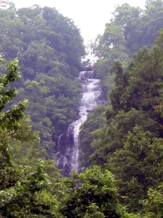 Amicalola FallsResearched visit notesDawson County, GA5.1 miNE
- Long Creek FallsTourism authority directions and distance documentedFannin County, GA13 miNE
- Etowah FallsLumpkin County, GA14 miE
- Noontootla FallsFannin County, GA14 miNE
 Little Rock Creek FallsPartial guide: undated route on a storm-damaged footpathFannin County, GA17 miNE
- Walden Creek WaterfallPartial guide: forum visitor account; gate status variesLumpkin County, GA18 miNE
- Lower Canada Creek FallsPublished off-trail route and parking documented; fords and unmarked pathsUnion County, GA19 miNE
- Upper Canada Creek FallsPartial guide: unofficial trail; name match to Yukon Falls is probable, not confirmedUnion County, GA20 miNE