Long Creek Falls
Fannin County, Georgia
Your visit at a glance
- Waterfall height
- Not recorded
- Location
- Fannin County, Georgia
- Access status
- Tourism authority directions and distance documented
- The walk
- About 1.1 miles one way; about 2.2 miles return (derived)
- Ground & access
- Footpath with three short climbs. Wet rocks near the falls.
From the Hikers Crossing sign at Three Forks, start on the north side of the road and follow the combined Appalachian and Benton MacKaye Trail gradually up beside Long Creek. After three short ascents, take the blue-blazed side trail to the two-tiered falls. Return the same way.
Plan your visit
Three Forks on FS 58 via the Appalachian/Benton MacKaye Trail to the blue-blazed side trail to Long Creek Falls
The Fannin County visitor guide puts the blue-blazed side trail at 1.1 miles. The return figure is derived by doubling.
Footpath with three short climbs. Wet rocks near the falls.
Where to start
Three Forks area on gravel FS 58, reached from Doublehead Gap Road. The guide gives 5.3 miles on FS 58 to the Hikers Crossing sign. Parking capacity is not stated.
Timing & water
Long gravel road; current road and trail conditions unknown.
Before you go
No fee stated.
Visitor informationVisit sources
More waterfalls nearby
Within 40 straight-line miles. Road and trail distances will differ.
- Noontootla FallsFannin County, GA1.8 miNW
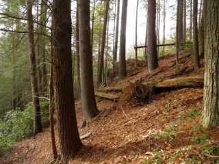 Little Rock Creek FallsPartial guide: undated route on a storm-damaged footpathFannin County, GA3.5 miNE
- Lower Canada Creek FallsPublished off-trail route and parking documented; fords and unmarked pathsUnion County, GA7.4 miE
- Upper Canada Creek FallsPartial guide: unofficial trail; name match to Yukon Falls is probable, not confirmedUnion County, GA8.1 miE
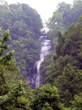 Amicalola FallsResearched visit notesDawson County, GA8.1 miSW
- Sea Creek FallsTourism authority directions and short walk documentedUnion County, GA8.3 miNE
- Walden Creek WaterfallPartial guide: forum visitor account; gate status variesLumpkin County, GA8.6 miE
- Waterfall #4Partial guide: matched to the Fourth Waterfall by name only; difficult creek crossingDawson County, GA13 miSW
- Dicks Creek FallsParking and pedestrian approach unconfirmedLumpkin County, GA13 miE