Upper Canada Creek Falls
Union County, Georgia
Your visit at a glance
- Waterfall height
- Not recorded
- Location
- Union County, Georgia
- Access status
- Partial guide: unofficial trail; name match to Yukon Falls is probable, not confirmed
- The walk
- About 1.9 miles each way
- Ground & access
- Old logging roads and faint paths with confusing unmarked junctions. Muddy stream crossing. Map and compass recommended by the source.
From GA 60 in Suches, drive 0.9 mile south on Cooper Gap Road to a gated logging road on the right, just before Wildhog Creek Road. Walk around the gate and follow the old road; at 1.1 miles take the path right through a gap, bear left at 1.25 and 1.6 miles where steep paths lead to private property, and cross a small stream at 1.75 miles. Then take a narrow path right along the hollow and descend at about 1.85 miles to the creek; the base of the falls is under 100 feet to the right. These are unofficial, unmarked trails.
Plan your visit
Gated logging road off Cooper Gap Road near Suches, unofficial paths to Yukon Falls, the uppermost waterfall on Canada Creek
Hiking the Appalachians and Beyond reached the base of Yukon Falls at 1.9 miles from the gate. The 7.3-mile figure in that report is a loop that adds Alberta Falls and road walking.
Old logging roads and faint paths with confusing unmarked junctions. Muddy stream crossing. Map and compass recommended by the source.
Where to start
Near the gate on Cooper Gap Road; space for a few cars. Do not block the gate.
Timing & water
Best in spring per the report. Faint paths may be overgrown in summer.
Before you go
No fees per the trail report.
Visitor informationVisit sources
- Hiking the Appalachians and Beyond: Upper Canada Creek Loop, July 2017
- Hiking the Appalachians and Beyond: Upper Canada Creek Loop, July 2017
- Hiking the Appalachians and Beyond: Upper Canada Creek Loop, July 2017
- Hiking the Appalachians and Beyond: Upper Canada Creek Loop, July 2017
- Hiking the Appalachians and Beyond: Canada Creek Waterfalls
More waterfalls nearby
Within 40 straight-line miles. Road and trail distances will differ.
- Lower Canada Creek FallsPublished off-trail route and parking documented; fords and unmarked pathsUnion County, GA0.7 miW
- Walden Creek WaterfallPartial guide: forum visitor account; gate status variesLumpkin County, GA2.9 miS
- Dicks Creek FallsParking and pedestrian approach unconfirmedLumpkin County, GA5.4 miE
- Blood Mountain Creek FallsLumpkin County, GA5.9 miNE
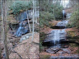 DeSoto FallsResearched walking routeLumpkin County, GA6.6 miE
- Lower DeSoto FallsNational Forest trail documented; fee siteLumpkin County, GA6.6 miE
- Sea Creek FallsTourism authority directions and short walk documentedUnion County, GA6.6 miNW
 Little Rock Creek FallsPartial guide: undated route on a storm-damaged footpathFannin County, GA6.7 miW
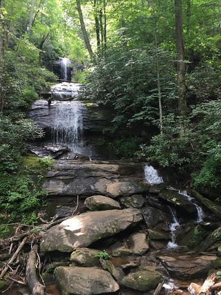 Upper DeSoto FallsPartial guide: upper trail access reported closed by some visitors; exact falls name variesLumpkin County, GA6.8 miE