Little Rock Creek Falls
Fannin County, Georgia
Your visit at a glance
- Waterfall height
- Not recorded
- Location
- Fannin County, Georgia
- Access status
- Partial guide: undated route on a storm-damaged footpath
- The walk
- About 0.45 mile each way
- Ground & access
- Rough, hard-to-follow footpath. Dangerous slippery rocks beyond the viewing area.
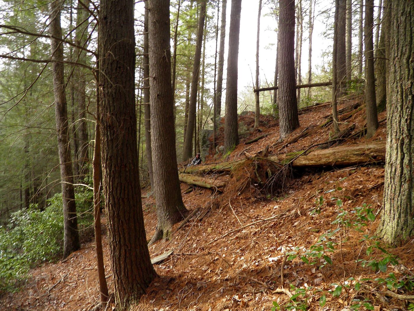
From GA 60 south of Morganton, turn right on FS 69 (Fish Hatchery Road) and drive about 3 miles to the bridge over Little Rock Creek, where there is a small pull-out. A footpath with crude white blazes follows the left side of the creek, crossing a small wet-weather branch at 0.15 mile and another at 0.35 mile, reaching the viewing area at 0.45 mile. The guide is undated and says storm damage left the path hard to follow and going only part way.
Plan your visit
Fish Hatchery Road (FS 69) bridge over Little Rock Creek, informal footpath upstream to the falls viewing area
Great Georgia Properties gives the viewing area at 0.45 mile from the road. Not measured here.
Rough, hard-to-follow footpath. Dangerous slippery rocks beyond the viewing area.
Where to start
Small pull-out at the FS 69 bridge over Little Rock Creek.
Timing & water
Current trail condition unknown.
Before you go
Great Georgia Properties lists no fees.
Visitor informationVisit sources
More waterfalls nearby
Within 40 straight-line miles. Road and trail distances will differ.
- Noontootla FallsFannin County, GA3.3 miSW
- Long Creek FallsTourism authority directions and distance documentedFannin County, GA3.5 miSW
- Sea Creek FallsTourism authority directions and short walk documentedUnion County, GA4.9 miNE
- Lower Canada Creek FallsPublished off-trail route and parking documented; fords and unmarked pathsUnion County, GA6.1 miE
- Upper Canada Creek FallsPartial guide: unofficial trail; name match to Yukon Falls is probable, not confirmedUnion County, GA6.7 miE
- Walden Creek WaterfallPartial guide: forum visitor account; gate status variesLumpkin County, GA8.4 miSE
 Amicalola FallsResearched visit notesDawson County, GA12 miSW
- Blood Mountain Creek FallsLumpkin County, GA12 miE
- Dicks Creek FallsParking and pedestrian approach unconfirmedLumpkin County, GA12 miE