Amicalola Falls
Dawson County, Georgia
Your visit at a glance
- Waterfall height
- Not recorded
- Location
- Dawson County, Georgia
- The walk
- 0.3-mile mapped access segment
- Ground & access
- Surface and grade not established from current map.
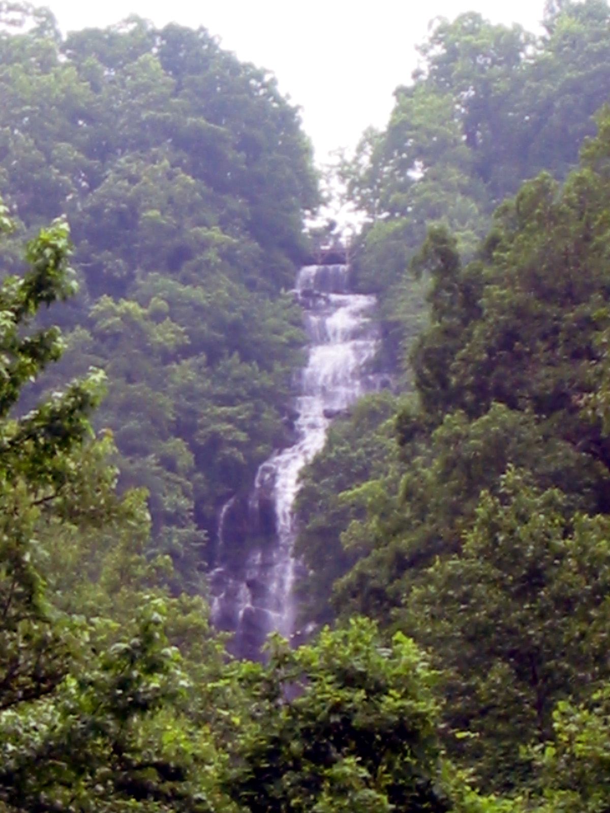
Use the West Ridge access path for the lower platform. East Ridge is a separate trail and is closed.
Plan your visit
West Ridge Falls Access to lower observation platform
Map labels the segment from its parking lot to the falls 0.3 mile; 0.6 mile out and back calculated from mapped endpoints.
Surface and grade not established from current map.
Where to start
Use the parking symbol at the west end of West Ridge Falls Access, below the top-of-falls lots.
Timing & water
Year-round daylight access; East Ridge maintenance closure posted 2026-10-27.
Before you go
Operator lists $10 vehicle ParkPass. Day-hike booking rules not established.
Visitor informationVisit sources
More waterfalls nearby
Within 40 straight-line miles. Road and trail distances will differ.
- Waterfall #4Partial guide: matched to the Fourth Waterfall by name only; difficult creek crossingDawson County, GA5.1 miSW
- Fall Creek WaterfallPartial guide: which Fall Creek waterfall this point marks is unconfirmedDawson County, GA5.6 miSW
- Long Creek FallsTourism authority directions and distance documentedFannin County, GA8.1 miNE
- Noontootla FallsFannin County, GA8.7 miN
 Little Rock Creek FallsPartial guide: undated route on a storm-damaged footpathFannin County, GA12 miNE
- Etowah FallsLumpkin County, GA12 miSE
- Walden Creek WaterfallPartial guide: forum visitor account; gate status variesLumpkin County, GA14 miNE
- Lower Canada Creek FallsPublished off-trail route and parking documented; fords and unmarked pathsUnion County, GA14 miNE
- Upper Canada Creek FallsPartial guide: unofficial trail; name match to Yukon Falls is probable, not confirmedUnion County, GA15 miNE