Upper DeSoto Falls
Lumpkin County, Georgia
Your visit at a glance
- Waterfall height
- Not recorded
- Location
- Lumpkin County, Georgia
- Access status
- Partial guide: upper trail access reported closed by some visitors; exact falls name varies
- The walk
- 0.75 mile one way per Recreation.gov; about 1.5 miles return (derived)
- Ground & access
- Gradual climb on a footpath with rock outcrops. Stay on the platform.
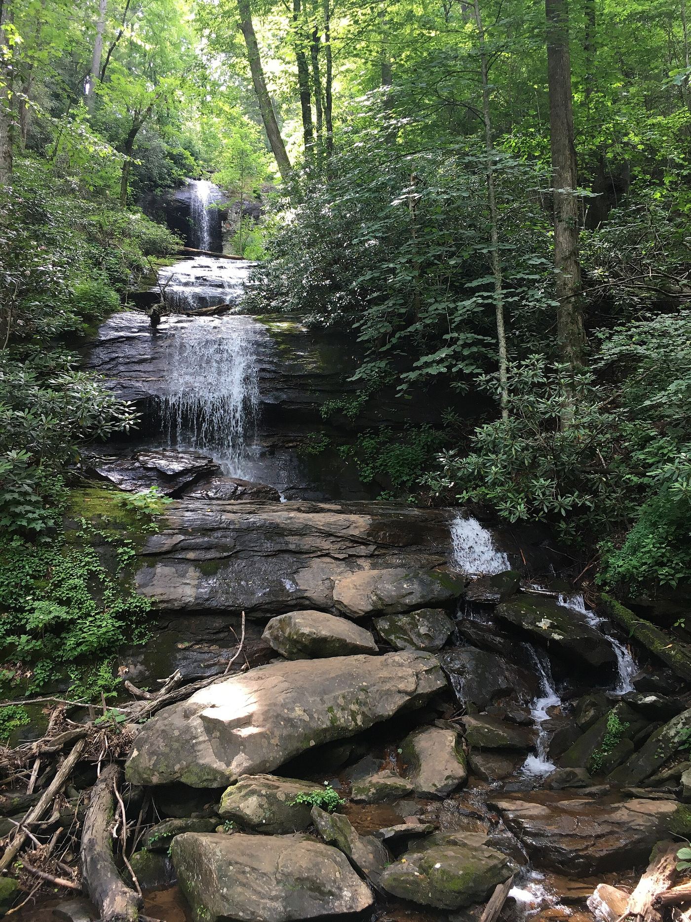
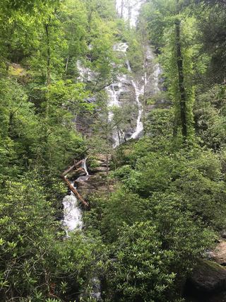
Park in the day-use lot, follow signs through the picnic area to the bridge over Frogtown Creek, and turn right on the Upper DeSoto Falls Trail. It climbs gradually to a viewing platform at the upper falls. Return the same way. The Dyrt reports that a higher, third waterfall section is closed to hikers.
Plan your visit
DeSoto Falls Recreation Area day-use lot over the Frogtown Creek bridge, right on the Upper DeSoto Falls Trail
Recreation.gov lists 0.75 mile to the upper falls. Atlanta Trails measures just over a mile. The return figure is derived.
Gradual climb on a footpath with rock outcrops. Stay on the platform.
Where to start
Day-use visitors park in the main lot on the left on entering the recreation area, off US 19/129 between Dahlonega and Blairsville.
Timing & water
Open year-round. Check with the Blue Ridge Ranger District for trail closures before visiting.
Before you go
Day use $5 per vehicle per day, paid on site with the Recreation.gov app; annual passes accepted, per the Forest Service.
Visitor informationVisit sources
More waterfalls nearby
Within 40 straight-line miles. Road and trail distances will differ.
 DeSoto FallsResearched walking routeLumpkin County, GA0.3 miW
- Lower DeSoto FallsNational Forest trail documented; fee siteLumpkin County, GA0.7 miS
- Nottely FallsUnion County, GA1.8 miN
- Blood Mountain Creek FallsLumpkin County, GA2.0 miNW
 Helton Creek FallsParking documented by local tourism; walking route documented by Atlanta Trails.Union County, GA2.7 miNE
- Dicks Creek FallsParking and pedestrian approach unconfirmedLumpkin County, GA2.8 miSW
 Raven Cliff FallsResearched visit notesWhite County, GA5.2 miE
- Upper Canada Creek FallsPartial guide: unofficial trail; name match to Yukon Falls is probable, not confirmedUnion County, GA6.8 miW
 Duke Creek FallsNational Forest day-use trail documented; fee siteWhite County, GA7.1 miE