Helton Creek Falls
Union County, Georgia
Your visit at a glance
- Waterfall height
- Not recorded
- Location
- Union County, Georgia
- Access status
- Parking documented by local tourism; walking route documented by Atlanta Trails.
- The walk
- About 0.6 mile return
- Ground & access
- Woodland descent, wooden stairs and slippery waterfall rocks; stay on the viewing route.
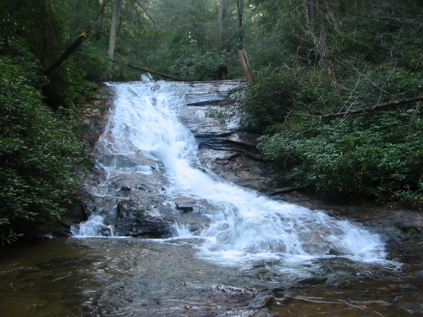
Two waterfalls are reached on a short forest walk near Vogel State Park.
Plan your visit
From the Helton Creek Falls parking area, follow the stepped woodland trail to the lower falls, then return to the main path and continue to the upper viewing platform. Retrace the route.
Atlanta Trails describes the upper platform just over 0.3 mile from the trailhead. Tourism's shorter 200-yard estimate is not used as a measured return distance.
Woodland descent, wooden stairs and slippery waterfall rocks; stay on the viewing route.
Where to start
From Neels Gap drive north on US 19 another 1.7 miles, turn right on Helton Creek Road and continue 2.3 miles to Forest Service parking on the right.
Timing & water
Current road and trail conditions unverified.
Before you go
Current fees and booking requirements unknown.
Visitor informationMore waterfalls nearby
Within 40 straight-line miles. Road and trail distances will differ.
- Nottely FallsUnion County, GA1.5 miSW
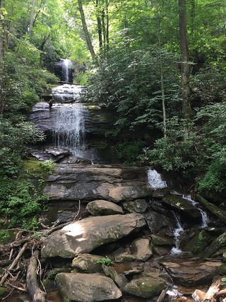 Upper DeSoto FallsPartial guide: upper trail access reported closed by some visitors; exact falls name variesLumpkin County, GA2.7 miSW
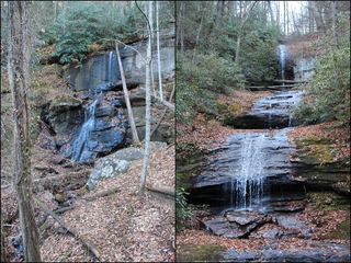 DeSoto FallsResearched walking routeLumpkin County, GA2.8 miSW
- Blood Mountain Creek FallsLumpkin County, GA3.0 miSW
- Lower DeSoto FallsNational Forest trail documented; fee siteLumpkin County, GA3.4 miS
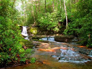 Raven Cliff FallsResearched visit notesWhite County, GA4.6 miSE
- Dicks Creek FallsParking and pedestrian approach unconfirmedLumpkin County, GA5.6 miSW
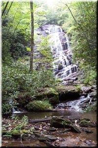 Horse Trough FallsResearched visit notesUnion County, GA6.7 miNE
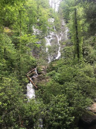 Duke Creek FallsNational Forest day-use trail documented; fee siteWhite County, GA6.8 miSE