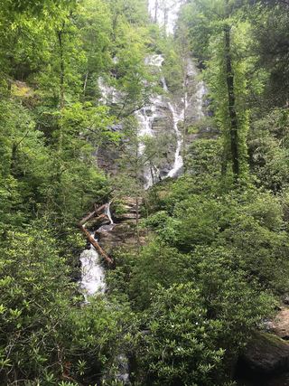
Lower DeSoto Falls
Lumpkin County, Georgia
Your visit at a glance
- Waterfall height
- Not recorded
- Location
- Lumpkin County, Georgia
- Access status
- National Forest trail documented; fee site
- The walk
- About 0.3 mile one way (0.6 mile return)
- Ground & access
- Forest trail along Frogtown Creek; detailed grades not published.
From the DeSoto Falls Recreation Area off US 19/129, take the trail downstream along Frogtown Creek to the lower falls. The upper falls trail is separate, 0.75 mile upstream.
Plan your visit
DeSoto Falls Recreation Area to Lower DeSoto Falls
Dahlonega tourism gives the lower falls as 0.3 mile downstream from the trailhead; return figure is doubled.
Forest trail along Frogtown Creek; detailed grades not published.
Where to start
USFS directs day visitors to the main lot immediately on the left after entering the recreation area.
Timing & water
USFS lists the site open; campground open all year.
Before you go
USFS lists day use at $5 per vehicle per day; pay on site with Recreation.gov Scan & Pay or use an annual pass.
Visitor informationVisit sources
More waterfalls nearby
Within 40 straight-line miles. Road and trail distances will differ.
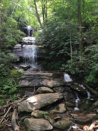 Upper DeSoto FallsPartial guide: upper trail access reported closed by some visitors; exact falls name variesLumpkin County, GA0.7 miN
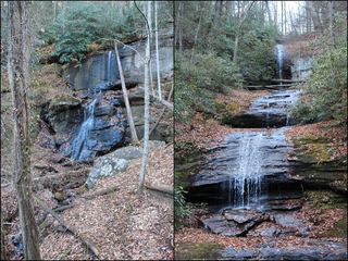 DeSoto FallsResearched walking routeLumpkin County, GA0.8 miN
- Dicks Creek FallsParking and pedestrian approach unconfirmedLumpkin County, GA2.2 miSW
- Blood Mountain Creek FallsLumpkin County, GA2.4 miNW
- Nottely FallsUnion County, GA2.5 miN
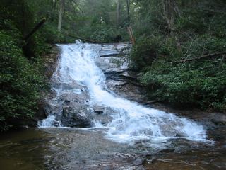 Helton Creek FallsParking documented by local tourism; walking route documented by Atlanta Trails.Union County, GA3.4 miN
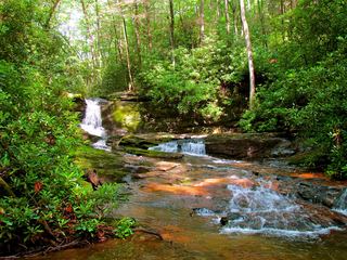 Raven Cliff FallsResearched visit notesWhite County, GA5.4 miE
- Upper Canada Creek FallsPartial guide: unofficial trail; name match to Yukon Falls is probable, not confirmedUnion County, GA6.6 miW
 Duke Creek FallsNational Forest day-use trail documented; fee siteWhite County, GA7.1 miE