WaterfallNear Me

Idaho waterfall visits

Compare 31 Idaho waterfall visits by the approach, terrain, and where to start. Some routes have closures or unresolved details; read the individual guide before travelling.

31 visit options

Goat Falls, ID

Published route with mileages from a USFS trailhead

Idaho

Goat Falls

About 6.6 miles return

From Iron Creek Trailhead, follow the trail through forest along Iron Creek. At 1.1 miles you enter the Sawtooth Wilderness; turn left at the marked junction onto the Alpine Way Trail across Iron Creek. Take the right path at the 2.9-mile junction and follow the hillside to Goat Falls at 3.3 miles. A 100-foot side path gives the best view.
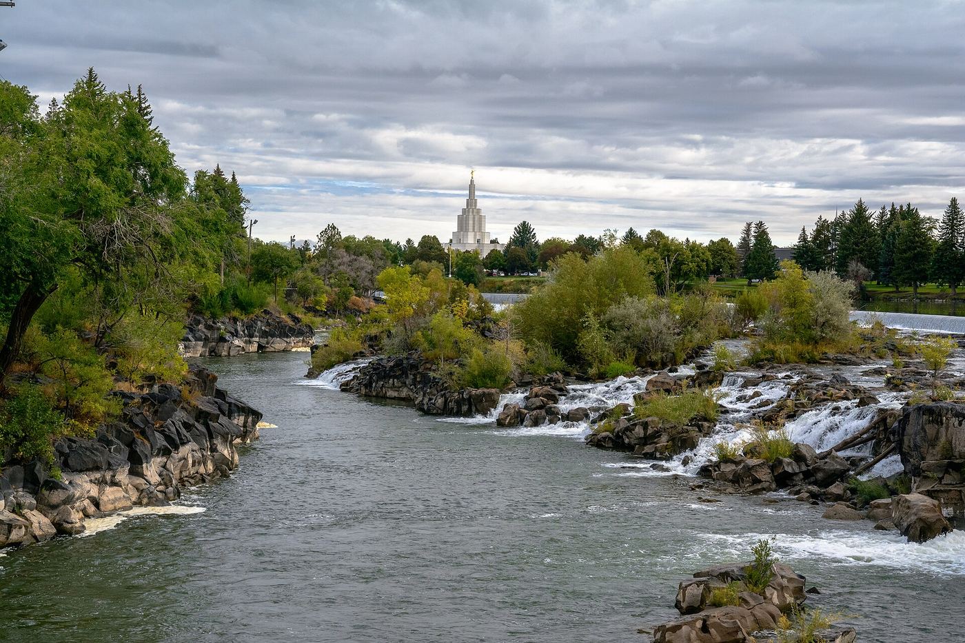
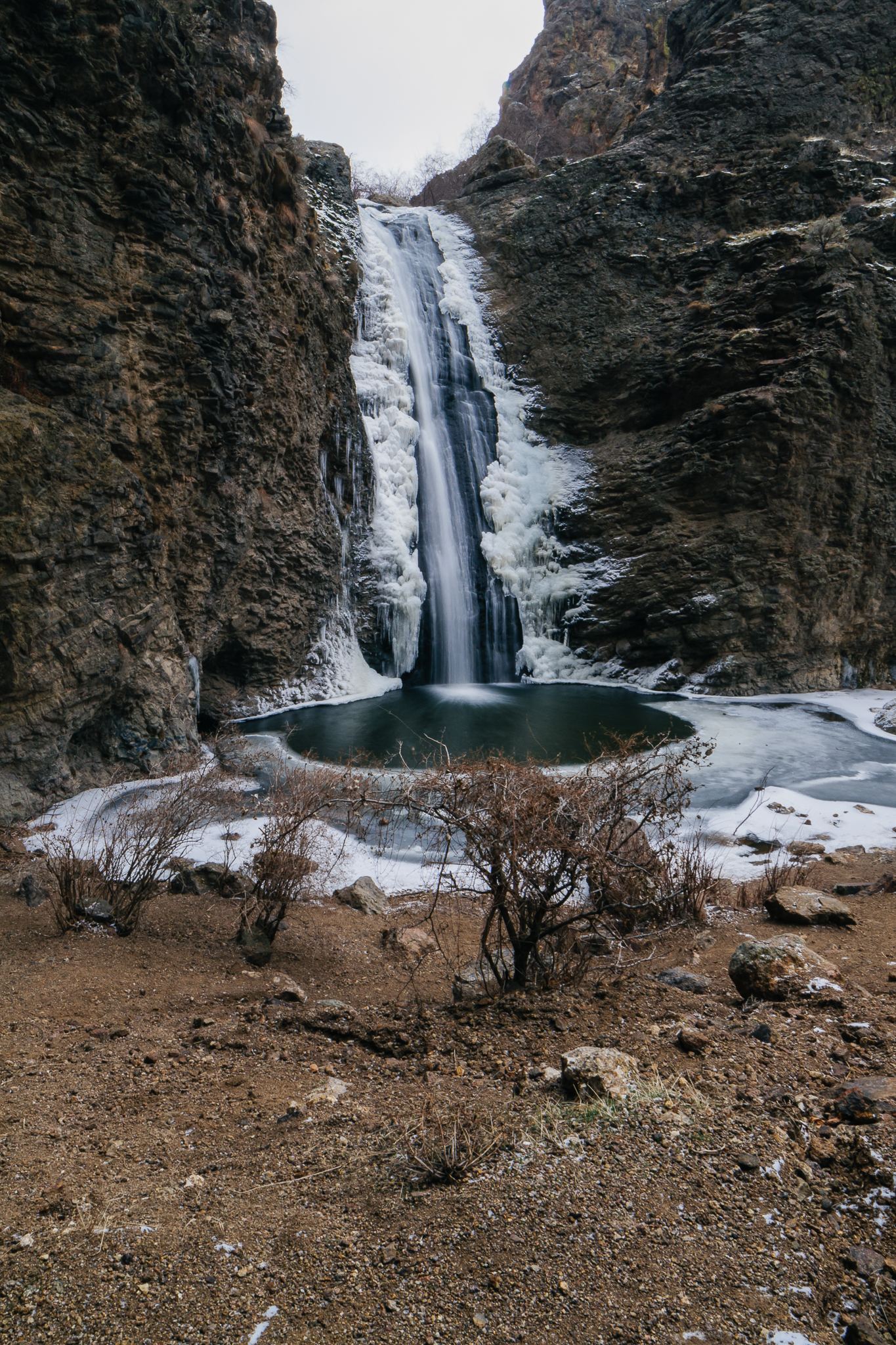
Photo creditPhoto: Fredlyfish4, CC BY-SA 3.0, via Wikimedia Commons
Idaho Falls, ID

City riverside viewpoint; parking location not confirmed

Idaho

Idaho Falls

Paved riverside walk; distance depends on where you park

The falls run beside the paved Greenbelt in downtown Idaho Falls. Walk the Greenbelt along the river and cross the Broadway Bridge to the west bank for a view of the full length of the falls.

Photo creditPhoto: Domenico Convertini from Zurich, Schweiz, CC BY-SA 2.0, via Wikimedia Commons
Jump Falls, ID.

Idaho

Jump Falls

About 0.25 mile to the falls

Follow the short creek trail from Jump Creek recreation area to the waterfall. The BLM also identifies a separate dry route to the falls overlook.

Photo creditPhoto: Nroslm, CC BY 3.0, via Wikimedia Commons
Lemmon Falls, ID

Partial guide: Ritter Island closed for the season; path described only by a photo-spot page

Idaho

Lemmon Falls

Short walk; distance not published

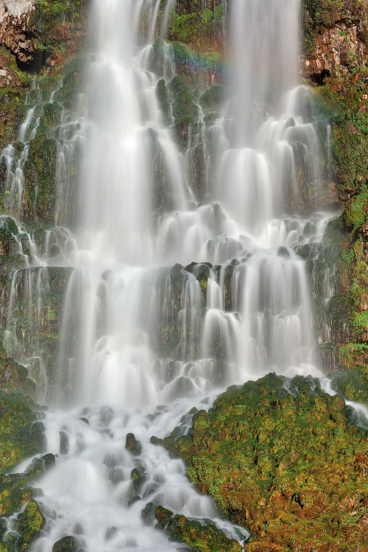
Lemmon Falls (also spelled Lemon Falls) is spring water from the Eastern Snake Plain Aquifer flowing down basalt walls at Ritter Island, a unit of Thousand Springs State Park. A Locationscout photo-spot page says to park at the Ritter Island parking lot before the bridge and follow the dirt path to the base of the falls.

Photo creditPhoto: Nicolas Raymond from Bethesda, Maryland, USA, CC BY 2.0, via Wikimedia Commons
Lower Elk Creek Falls, ID

Established trail to Lower Falls viewpoint; no fee; steep descent

Idaho

Lower Elk Creek Falls

About 2.25 miles one way to the Lower Falls viewpoint by the source's segment figures

Lower Elk Creek Falls, about 50 feet, is the lowest of three falls in the Elk Creek Falls National Recreation Area near Elk River. From the trailhead, hike Trail #740 about a mile to a signed Y, go right and descend about 1.25 miles on a semi-steep trail to a viewpoint structure. Return up to the sign; Trail #742 continues to the Middle and Upper Falls.

Photo creditPhoto: Dsdugan, CC0, via Wikimedia Commons
Lower Mesa Falls, ID

Closed for construction under the September 16, 2026 USFS notice; no open approach verified.

Idaho

Lower Mesa Falls

Closed; no current walking itinerary

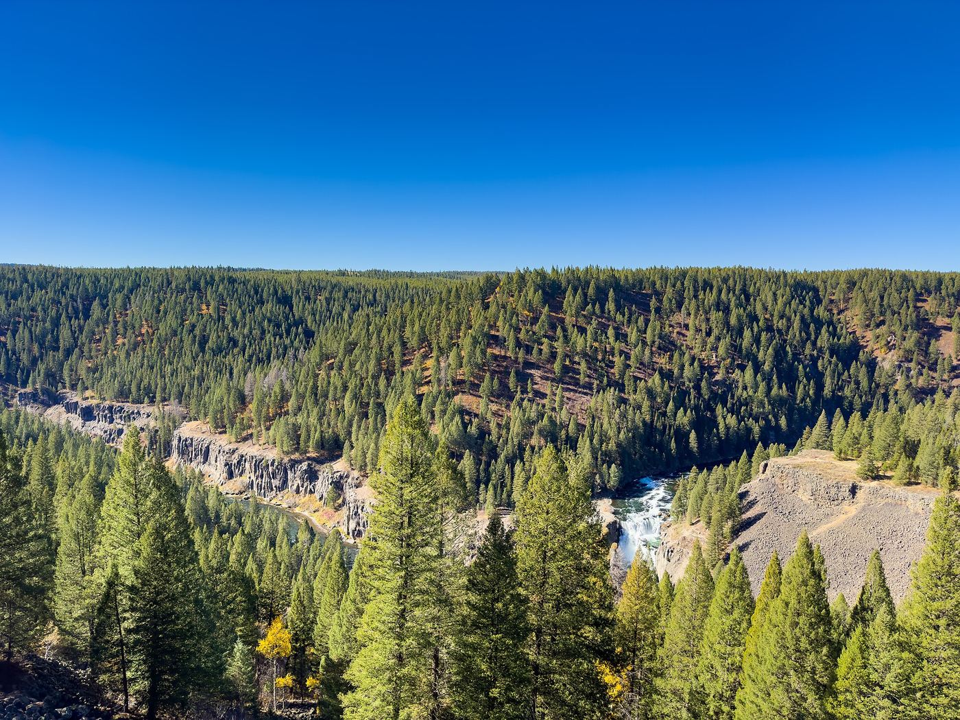
Lower Mesa Falls is closed with Upper Mesa Falls while construction continues. Completed parking resurfacing does not mean the visitor site has reopened.

Photo creditPhoto: Tony Webster, CC BY 2.0, via Wikimedia Commons
Mesa Falls, ID.

Construction closure; reopening unconfirmed

Idaho

Mesa Falls

Do not enter closed recreation areas

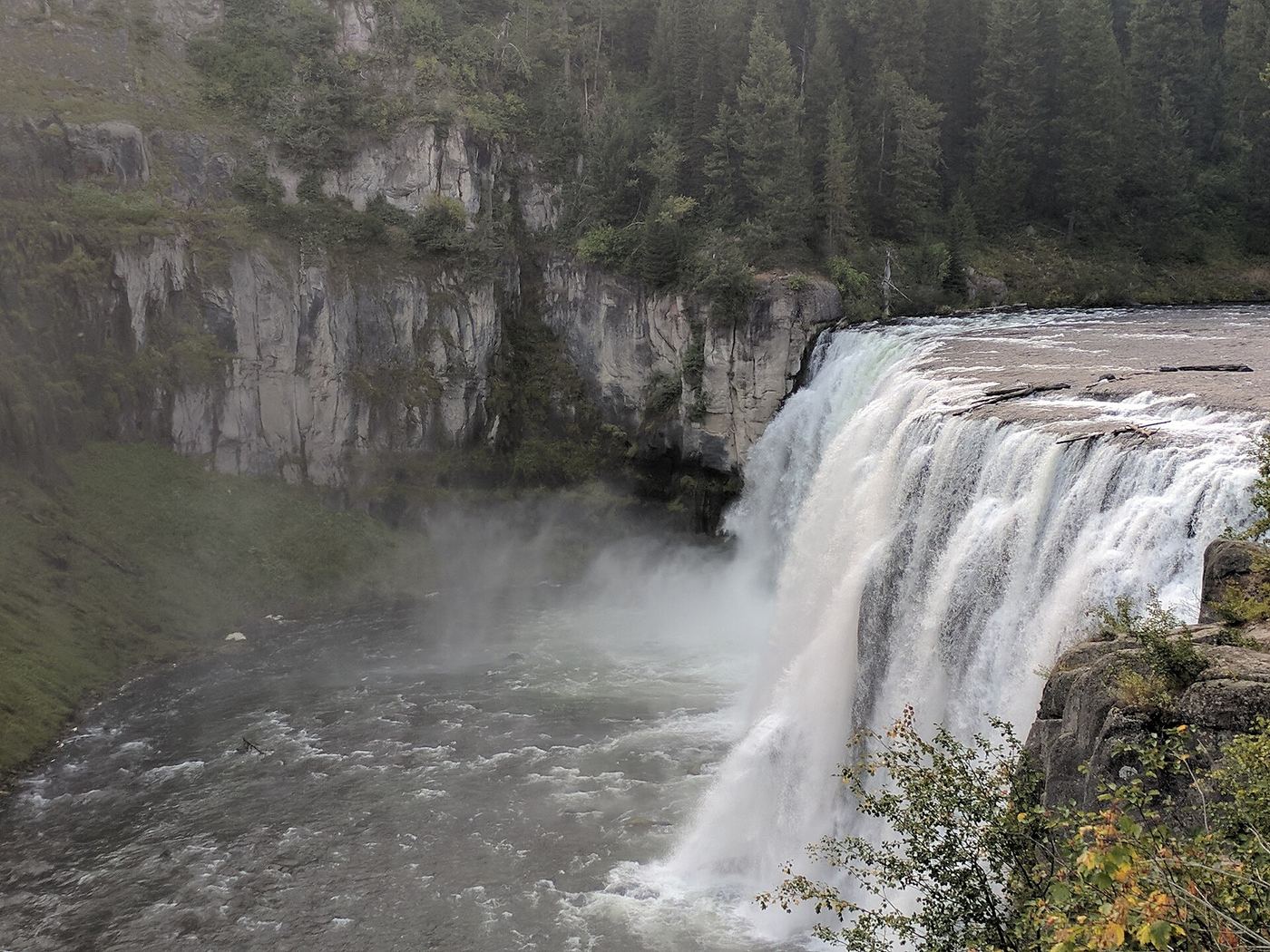
The Forest Service confirms temporary closure of both Upper and Lower Mesa Falls during construction. Trail paving has disrupted surfaces, and entering restricted areas on foot is also prohibited. No subsequent reopening was established in this review.

Photo creditPhoto: Greg Schechter from San Francisco, USA, CC BY 2.0, via Wikimedia Commons
Middle Elk Creek Falls, ID

National Recreation Trail with viewpoint spur; signed turnoff from Highway 8

Idaho

Middle Elk Creek Falls

About 0.3 mile each way to the Middle Falls

Elk Creek Falls Recreation Area is in the Clearwater National Forest near Elk River. From the parking area, take Trail #740 to the information sign, look for Trail #742 and turn right (northwest) onto a spur to the Middle Falls viewpoint. The Middle Falls drop about 70 feet through a basalt gorge. Lower and Upper Falls are on connected trails. Keep children well back from the edges.

Photo creditPhoto: David Dugan, CC BY-SA 3.0, via Wikimedia Commons
Perrine Coulee Falls, ID

Roadside parking; short unofficial trail behind the falls

Idaho

Perrine Coulee Falls

A few minutes each way

Perrine Coulee Falls drops about 200 feet beside Canyon Springs Road as it descends into the Snake River Canyon toward Centennial Waterfront Park in Twin Falls. From the roadside parking, walk down to the curve, go through the concrete barriers and follow a short rocky unofficial trail to behind the falls.

Photo creditPhoto: WaterArchives.org from Sacramento, California, USA, CC BY-SA 2.0, via Wikimedia Commons
Pillar Falls, ID

Rim views documented; walking start unverified

Idaho

Pillar Falls

Distance not verified

Rim views are documented, but a parking-to-viewpoint walking route is not established. Tourism describes access to the falls themselves by boat or kayak.

Photo creditPhoto: Evan K. Bastow, CC BY-SA 3.0, via Wikimedia Commons
Post Falls, ID

Park loop route documented; hours and fees not confirmed

Idaho

Post Falls

0.4-mile loop

Start at the Falls Park parking area in Post Falls and walk the paved Overlook Trail loop. It passes viewing areas over the Spokane River, the falls and Post Falls Dam, and returns to parking.

Photo creditPhoto: Ian Poellet, CC BY-SA 4.0, via Wikimedia Commons
Shoshone Falls, ID

Verified park parking and viewing-platform approach

Idaho

Shoshone Falls

75 feet one way from the closest parking space

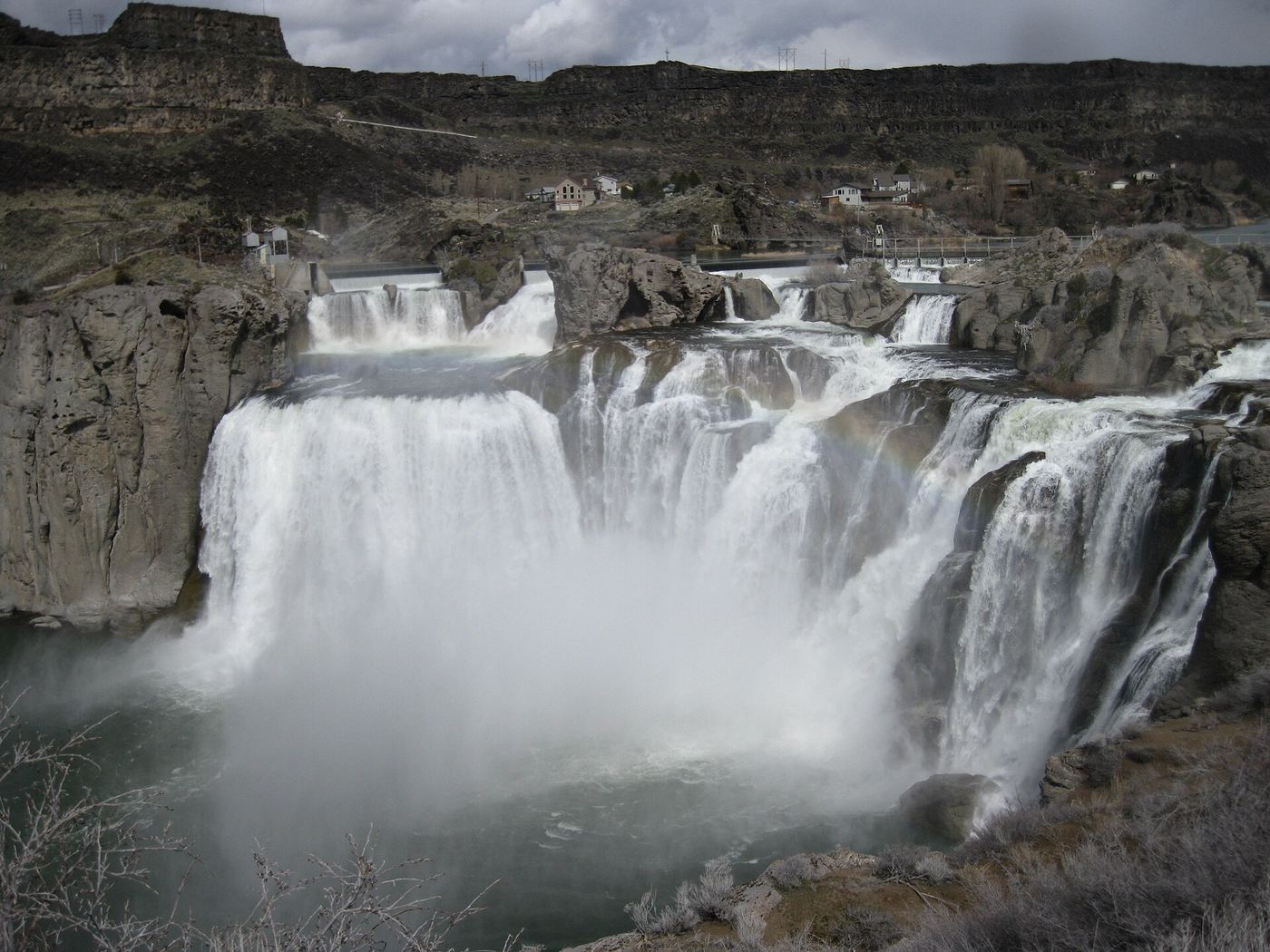
Drive to Shoshone Falls Park and walk from the park parking to the main viewing platform. Optional canyon-rim viewpoints extend the visit.

Photo creditPhoto: Jloft, CC BY-SA 3.0, via Wikimedia Commons
Upper Elk Creek Falls, ID

Published short trail route to the upper drop

Idaho

Upper Elk Creek Falls

About 0.4 miles each way

From the Elk Creek Falls trailhead parking, walk the first, mostly flat quarter mile to the fork. Go left to reach the Upper Falls first. A short spur leads to the creek below the 20-foot Upper Falls. Middle and Lower Falls are further along the trail system.

Photo creditPhoto: David Dugan, CC BY-SA 3.0, via Wikimedia Commons

Official trail to the falls; remote gravel road; steep section near falls

Idaho

American Falls

About 2.1 miles each way (4.2 miles return)

The official name is Upper Priest Falls; it is commonly called American Falls. The Forest Service says Continental Creek Trail #28 switchbacks down from Road #1013 through old-growth cedar to the river bottom and follows a fork of the Upper Priest River to the falls near the Canadian border. Hiking Project describes reaching a junction on the valley floor; go right (north), cross Malcom Creek on a bridge and follow the river for the last half mile to the 40-foot falls. Trail numbers for this last stretch differ between sources: the Forest Service says Trail #308 ends at that junction and Trail #28 continues to the falls, while Hiking Project calls it Trail #308. Return the same way, climbing about 1,000 feet.

Location map; no photo available.

City park route and parking documented; distance basis not stated

Idaho

Auger Falls

About 2 miles to the falls (published figure; one way or return not stated)

Auger Falls is a 30-foot drop in the Snake River in the City of Twin Falls' 680-acre Auger Falls Heritage Park. From the trailhead lot, follow the main gravel path down the canyon past Broken Bridge, about a mile in. About 10 minutes later, side trails lead toward the river and the falls.

Location map; no photo available.

Partial guide: exact distance to the falls view and trailhead details unconfirmed

Idaho

Baron Creek Falls

Long day or overnight; exact distance to the falls view not stated

Baron Creek Falls cascades down a sheer granite face at the head of Baron Creek canyon in the Sawtooth Wilderness. From the Grandjean Trailhead the route follows the South Fork Payette River trail, then turns up Baron Creek past the North Fork junction to a steep, rough climb beneath Mount Ebert with a view of the falls. The Baron Lakes lie above.

Location map; no photo available.

Published trail route; final unmarked path not described in detail

Idaho

Bridal Veil Falls

7.4 miles return

From Stanley Lake Trailhead, the Sawtooth Association route passes Lady Face Falls, which is a short walk off the maintained trail. The final approach to Bridal Veil Falls is an unmarked path that crosses the creek again. The source does not describe that unmarked path in detail.

Location map; no photo available.

Location and road directions; waterfall approach unknown

Idaho

Dagger Falls

Approach distance unknown

USFS gives road directions to the Dagger Falls campground. Rob Greenfield’s firsthand Idaho Magazine account confirms a viewing platform, but the public parking-to-platform connection remains unverified.

Location map; no photo available.

State park footbridge viewpoint; vehicle entry fee

Idaho

Devil's washbowl waterfall

Short walk; distance not published

Take the I-84 Tuttle exit to the Malad Gorge unit of Thousand Springs State Park. From the parking area, walk to the footbridge that crosses the gorge above the Devil's Washbowl and view the 60-foot falls from above. An overlook across the road from the parking area also views the canyon.

Location map; no photo available.

Partial guide: distance to the falls not confirmed; older trip report only

Idaho

Fern Falls

Long out-and-back on the South Fork Payette River Trail; distance to the falls not confirmed

Fern Falls is on the South Fork Payette River trail in the Sawtooth Wilderness. A June backpacking trip report from the Grandjean Trailhead shows Fern Falls along the gently rising river trail. The source does not give its distance from the trailhead.

Location map; no photo available.

Partial guide: roadside parking and path from user listings only

Idaho

Grandjean Creek Waterfall

Very short walk; distance not published

Komoot user listings place Grandjean Creek Waterfall at this location, with a trailhead just south of it near Grandjean, off Highway 21 between Lowman and Stanley. A very short hike leads to the falls. No official Forest Service description of this specific waterfall was found.

Location map; no photo available.

Short walk on state land road; careful at viewpoints

Idaho

Hunt Falls

Short road walk, about 0.1 to 0.3 mile one way

Hunt Creek Falls is a segmented falls of about 60 feet on Idaho Department of Lands land off Priest Lake's East Shore Road north of Coolin. About 3.4 miles north of the Cavanaugh Bay airstrip, take an uphill dirt road on the right (east). Bear left at the junction, drive as far as you can, park, and walk the same road to the falls.

Location map; no photo available.

Parking documented; clear waterfall view from the upper path uncertain

Idaho

Lady Face Falls

5 miles return

The maintained Stanley Lake trail connects to a narrow Lady Face Falls side path. Visit Idaho describes partial views from above, but a firsthand report published in March 2026 found the named falls obscured from the rim. A clear waterfall view is not guaranteed.

Location map; no photo available.

Outside the published island season

Idaho

Minnie Miller Falls

0.323 miles one-way from the park entrance

When the island is open, pass the dairy barn and keep right on the gravel road to the falls view.

Location map; no photo available.

Partial guide: undated directions; bridge, junctions and land status not confirmed

Idaho

Mission Falls

About 1.8 miles each way (derived from published segments)

Inland Northwest Routes places Mission Falls, a 5 to 10 foot drop on the Upper West Branch Priest River, in the Priest Lake Ranger District, Idaho Panhandle National Forest, about 19 miles north of Priest River on Scenic Route 57. Park across the river on the northeast side of the bridge, walk the jeep trail 0.2 mile to a junction, take the right fork for 1.5 miles, turning right at all later junctions, then follow a well-used trail a few hundred yards to the falls.

Location map; no photo available.

Idaho

Myrtle Falls

0.9 miles return

Cross Myrtle Creek and climb switchbacks to the guarded overlook.

Location map; no photo available.

Official trail passes the falls; distance to falls not published

Idaho

Rambiker Falls

Under 6.1 miles each way; exact distance to the falls not published

The Forest Service says St. Joe Lake Trail #49 follows the upper St. Joe Wild and Scenic River and passes Rambikur Falls, named for a Forest Service employee at Red Ives Ranger Station. It calls the trail among the easiest in the area. Return the same way. The trailhead is a long drive on a narrow primitive road.

Location map; no photo available.

Approach or parking partly unconfirmed

Idaho

Selway Falls

Waterfall viewing walk unconfirmed

Visit Idaho describes following FR 223 from Lowell: seven paved miles to O’Hara Campground, then 11 more miles on dirt road to Selway Falls. The article does not establish a pedestrian viewing route.

Location map; no photo available.

Partial guide: total distance from the trailhead not confirmed

Idaho

Smith Falls

Multi-day backpacking distance; 2.3 miles beyond Elk Lake

Smith Falls pours over a glacially polished slab in the upper South Fork Payette canyon of the Sawtooth Wilderness, with swimming holes at its base. From Grandjean, Trail #452 follows the river south past Big Meadows and Elk Lake. Above Elk Lake the main canyon continues 2.3 miles to the falls.

Location map; no photo available.

Choose another state All mapped waterfalls in Idaho