Dagger Falls
Valley County, Idaho
Your visit at a glance
- Waterfall height
- Not recorded
- Location
- Valley County, Idaho
- Access status
- Location and road directions; waterfall approach unknown
- The walk
- Approach distance unknown
- Ground & access
- Rough, narrow single-lane access road; walking surface unknown.
USFS gives road directions to the Dagger Falls campground. Rob Greenfield’s firsthand Idaho Magazine account confirms a viewing platform, but the public parking-to-platform connection remains unverified.
Plan your visit
Dagger Falls campground access; waterfall approach unverified
No waterfall walking distance supplied.
Rough, narrow single-lane access road; walking surface unknown.
Where to start
Follow Bear Valley Road from Highway 21 between mileposts 109 and 110 for roughly 25 miles; signed turn before Boundary Creek. Dedicated waterfall parking unknown.
Timing & water
Road often blocked by snow until late May or early June.
Before you go
Day-use fee unknown; the posted $10 fee is for overnight camping.
Visitor informationVisit sources
More waterfalls nearby
Within 40 straight-line miles. Road and trail distances will differ.
- Lady Face FallsParking documented; clear waterfall view from the upper path uncertainCuster County, ID23 miSE
- Bridal Veil FallsPublished trail route; final unmarked path not described in detailCuster County, ID24 miS
- Grandjean Creek WaterfallPartial guide: roadside parking and path from user listings onlyBoise County, ID26 miS
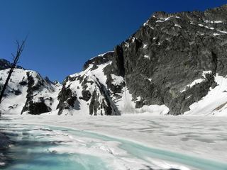 Goat FallsPublished route with mileages from a USFS trailheadCuster County, ID28 miSE
- Baron Creek FallsPartial guide: exact distance to the falls view and trailhead details unconfirmedCuster County, ID32 miSE
- Fern FallsPartial guide: distance to the falls not confirmed; older trip report onlyBoise County, ID36 miS
- Smith FallsPartial guide: total distance from the trailhead not confirmedBoise County, ID39 miS
- Big FallsBoise County, ID39 miSW